5.9 km away
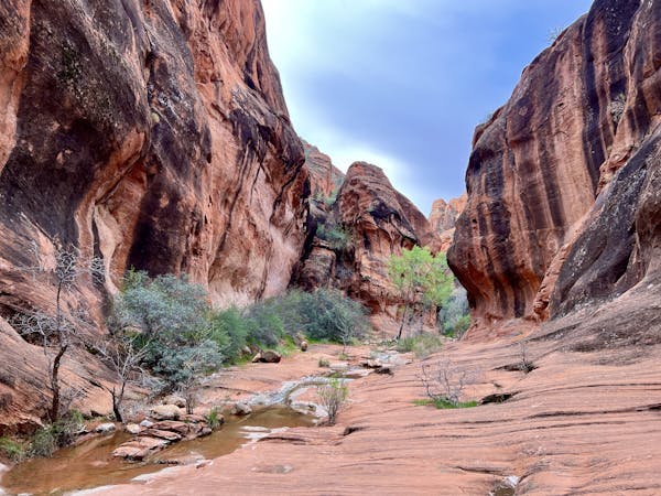
Jenny's Slot Canyon
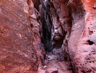
An easy-to-reach slot canyon.
Easy Hiking
- Distance
- 535 m
- Ascent
- 8 m
- Descent
- 8 m
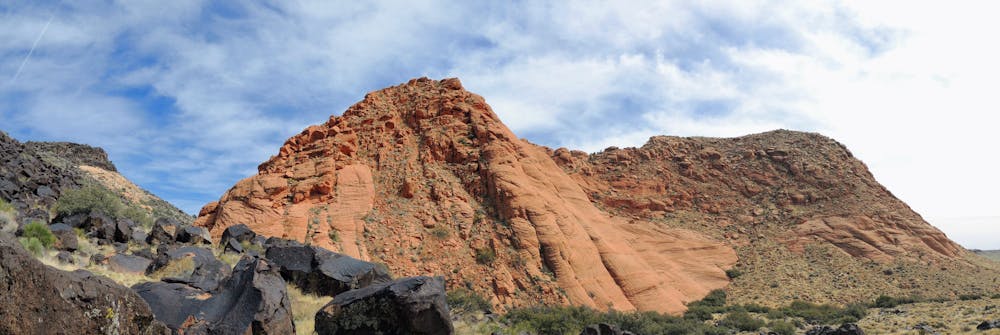
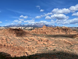
Hike beneath a series of uplifted yellow hills.
Hiking Moderate

The Yellow Knolls trail winds through a beautiful valley below a series of uplifted yellow rock domes from whence it gets its name.
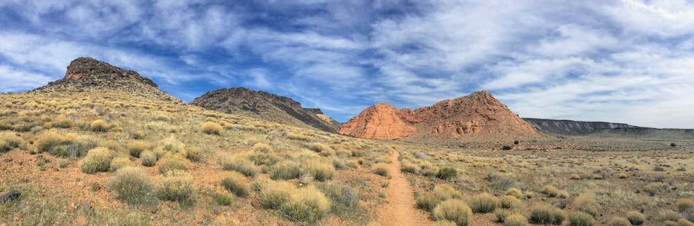
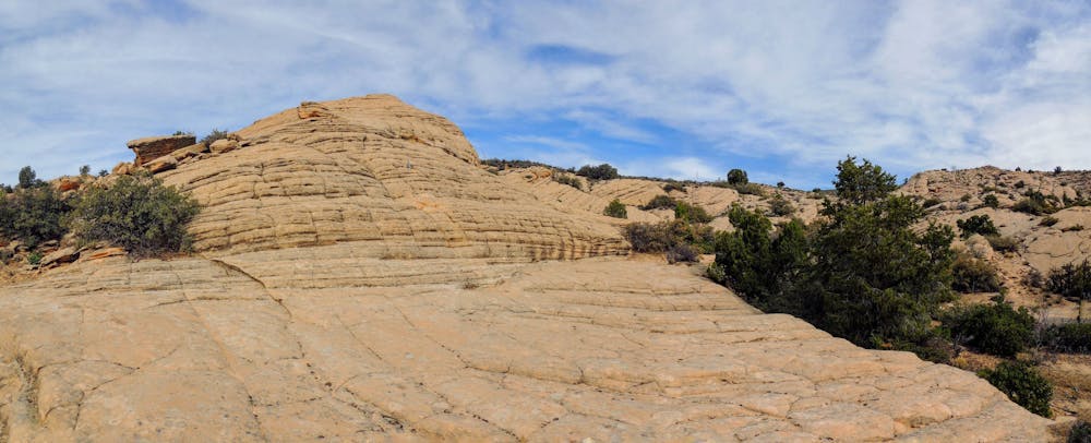
The initial stretch of trail heads through a wide-open field on a narrow track alternating between packed dirt and sand sections. Then, the trail "descends into a valley and curves around this first mountain, taking you out onto the yellow stone, where you can explore the open rock landscape," writes Lana Law on PlanetWare.com. "This is the highlight of the hike, but the trail continues on, ascending to a high point for a view over the surrounding hills and rock formations," she continues.
During the spring, this area is a popular spot for viewing desert wildflowers. If you come to view the flowers, be sure to take only pictures and leave only footprints. Don't touch the flowers!
Sources: https://www.planetware.com/utah/top-rated-hikes-near-st-george-utah-us-ut-59.htm https://hikestgeorge.com/hiking-trails/yellow-knolls-red-cliffs-desert-reserve/
Moderate
Hiking along trails with some uneven terrain and small hills. Small rocks and roots may be present.

The path is on completely flat land and potential injury is limited to falling over.

Away from help but easily accessed.
5.9 km away
An easy-to-reach slot canyon.
Easy Hiking
6.2 km away
A high-value hike with a stunning overlook above St. George.
Difficult Hiking
6.3 km away
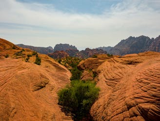
One of the most intriguing hikes in St. George.
Moderate Hiking
6.6 km away
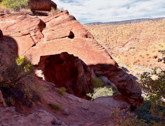
Hike to an arch that resembles an elephant's eye, forehead, and trunk stretching down to the ground.
Moderate Hiking
6.7 km away
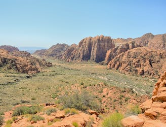
Hike to an overlook of a beautiful valley in Snow Canyon State Park.
Moderate Hiking
9 routes · Hiking