3 km away
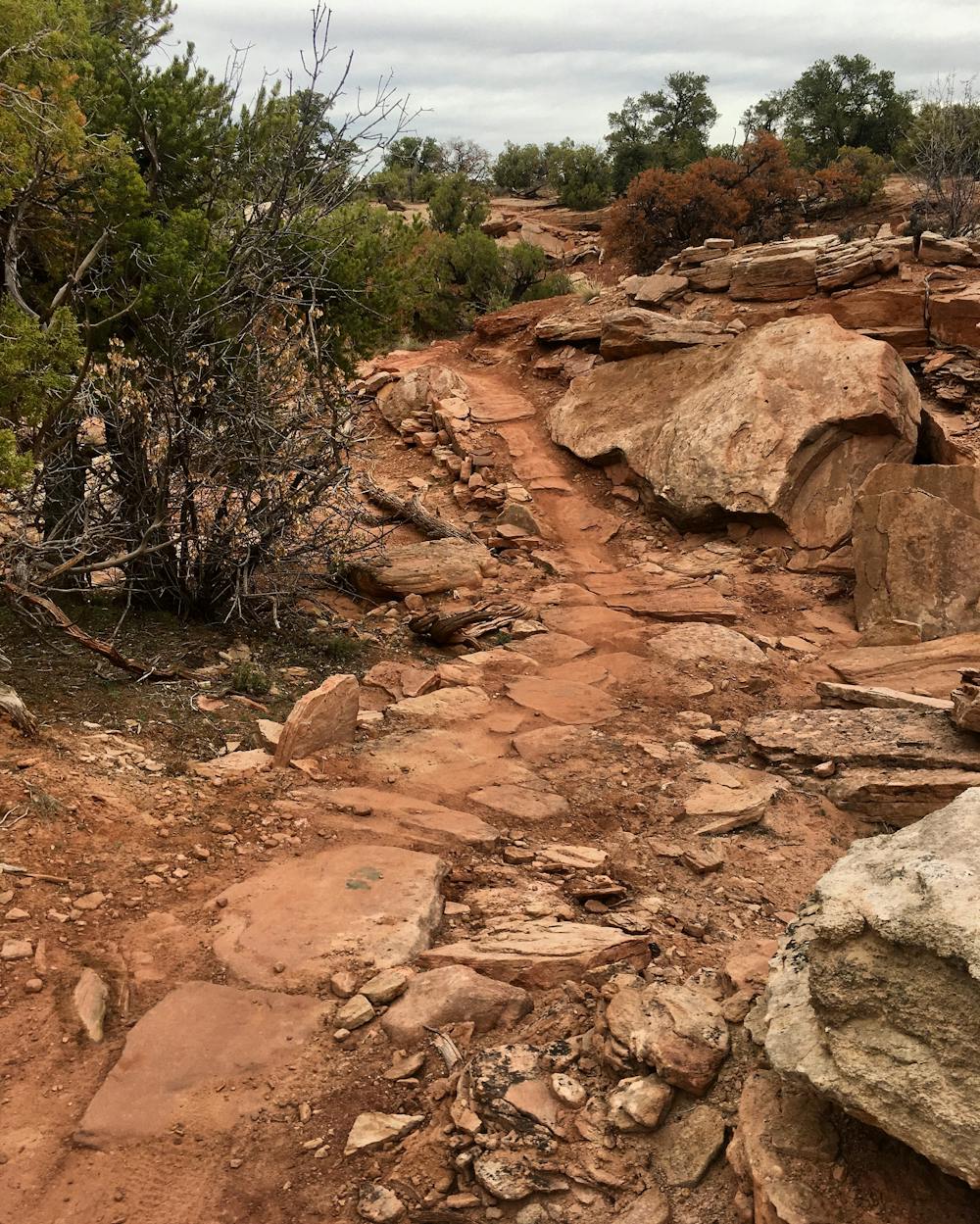
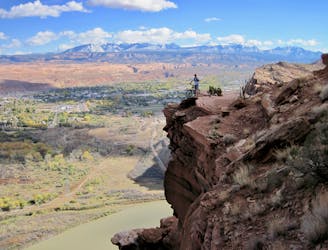
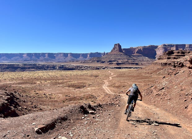
Navajo Rocks
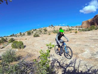
Navajo Rocks embodies new school Moab mountain biking at its finest!
Difficult Mountain Biking
- Distance
- 29 km
- Ascent
- 552 m
- Descent
- 552 m
New school Moab singletrack offering superb cross country riding, Moab style.
Mountain Biking Moderate

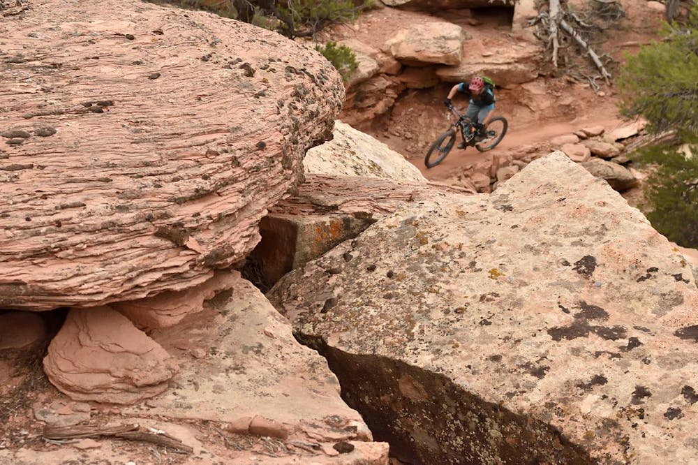
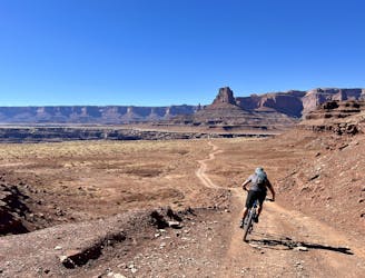
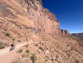
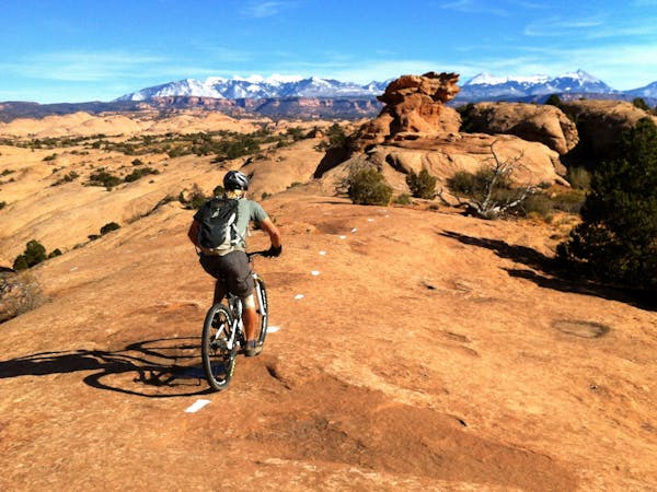
Moab is best-known for its ultra-technical, rocky, drop-filled mountain bike trails. While this sort of trail will always be Moab’s primary draw, recent trail development in the region has only continued to diversify Moab's singletrack offerings. The Chisholm and Rodeo trails, two of the newest trails in Moab, push that diversification forward with fantastic cross country riding.
Chisholm and Rodeo can be ridden in a number of different combinations, including connected to Navajo Rocks, 7-Up, the other Horsethief Trails, and more. In fact, you could probably ride a 50-mile loop in this region of Moab without repeating the same trail twice! But if you solely want to pedal these two new trails, this lariat route is the way to do it.
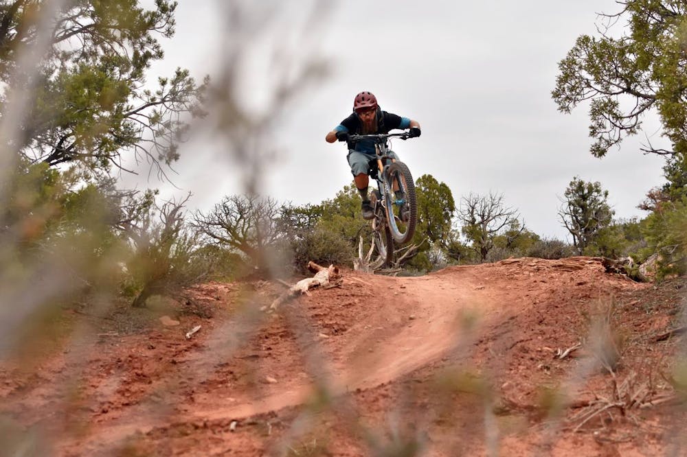
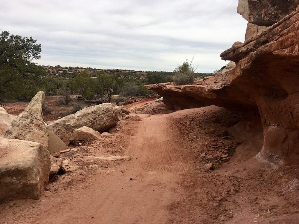
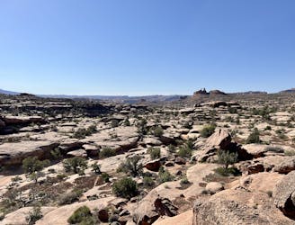
Chisholm and Rodeo epitomize cross country riding, Moab style. Neither trail is steep or has any extended climbs, yet the singletrack undulates up and down through rolling terrain. While overall the trail tread is smooth and absurdly flowy, rippled slickrock, small rock gardens, little drops and jumps, and rock armored sections punctuate the smooth dirt with small doses of spice.
The quality of Moab’s trail builders is on display on these latest trails. While there aren’t any insanely-gnarly builds like you’ll find on Captain Ahab, expert rock armoring through the dips, creative use of rock ledges, and spot-on flowy sections proclaim that these trails were undoubtedly built by mountain bikers, for mountain bikers.
Riders will cover ground on this lariat much faster than on the steeper, more brutal Moab trails, and yet compared to the XC riding you may be used to, Chisholm and Rodeo demand you pay a toll in sweat, labor, and attention to your front wheel as you power through this delightful network of singletrack.
Moderate
Mostly stable trail tread with some variability, with unavoidable obstacles 8in/20cm tall or less. Other obstacles such as rock gullies and steep sections may exist. Ideal for lower intermediate riders.

The path is on completely flat land and potential injury is limited to falling over.

Away from help but easily accessed.
3 km away
Navajo Rocks embodies new school Moab mountain biking at its finest!
Difficult Mountain Biking
4.3 km away
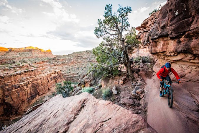
Pedal through the visually-stunning depths of Canyonlands National Park.
Moderate Mountain Biking
4.3 km away
Day 1 of the epic White Rim Trip: running from either Mineral Bottom THD or the beginning of the Shafer Trail to Airport Tower.
Easy Mountain Biking
5.5 km away
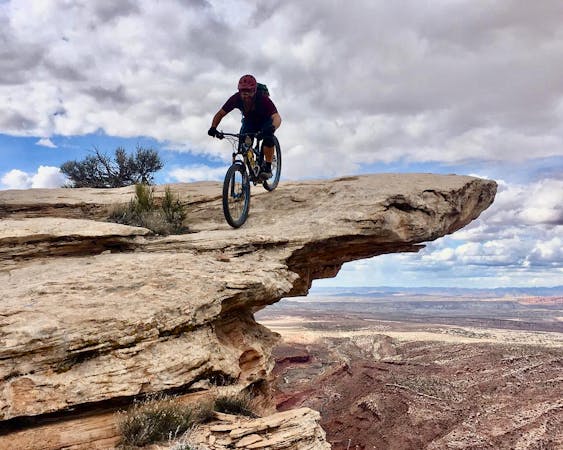
A shorter, more accessible version of the full Mag 7 shuttle.
Severe Mountain Biking
5.5 km away
Ride some of the most technical and dangerous mountain bike trails in the world in one massive shuttle route!
Extreme Mountain Biking
5 routes · Mountain Biking
20 routes · Mountain Biking

37 routes · Mountain Biking
4 routes · Mountain Biking

25 routes · Mountain Biking
4 routes · Mountain Biking