7.7 km away
Round Valley
A high desert trail system with gorgeous views and flowy intermediate singletrack.
Moderate Mountain Biking
- Distance
- 16 km
- Ascent
- 316 m
- Descent
- 316 m
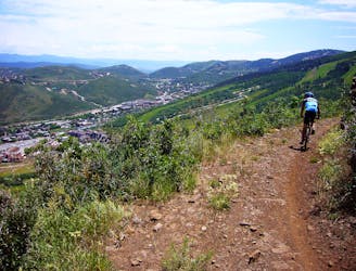
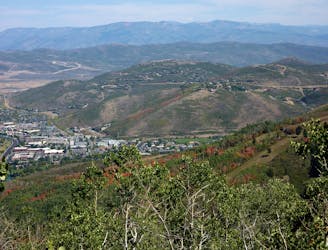
Flying Dog is a renowned flow-filled intermediate descent that's snow free most of the year.
Mountain Biking Difficult

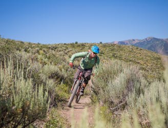
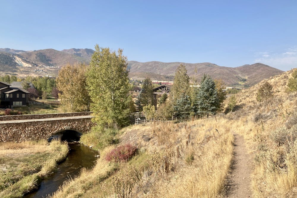
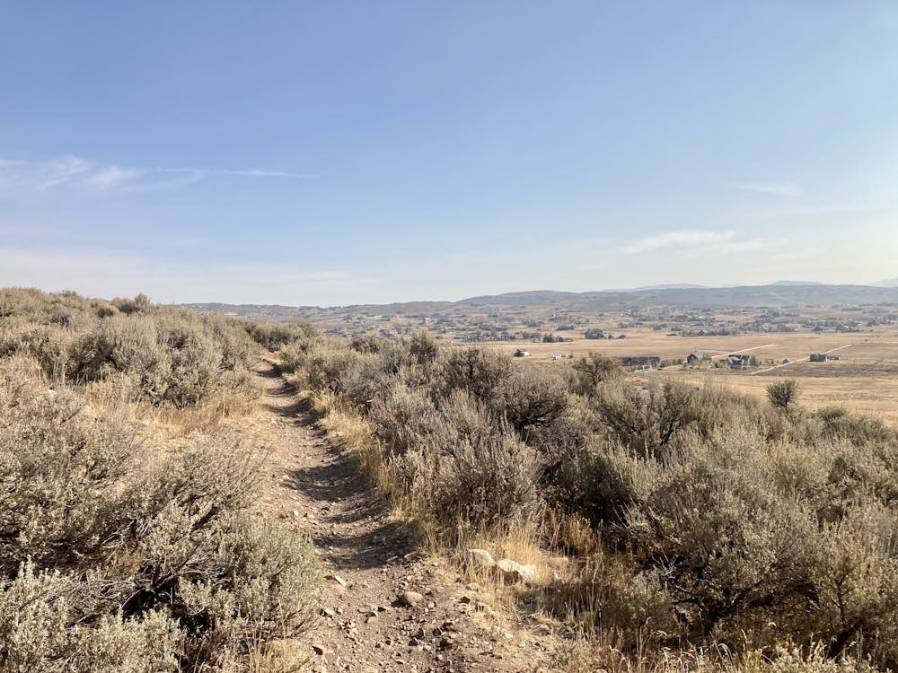
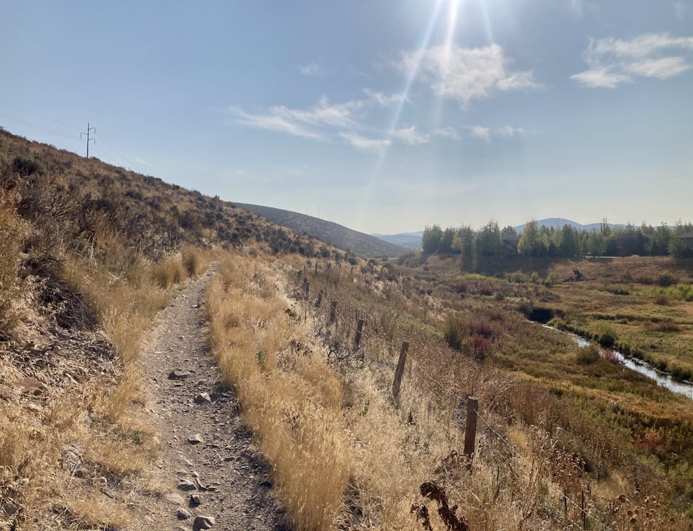
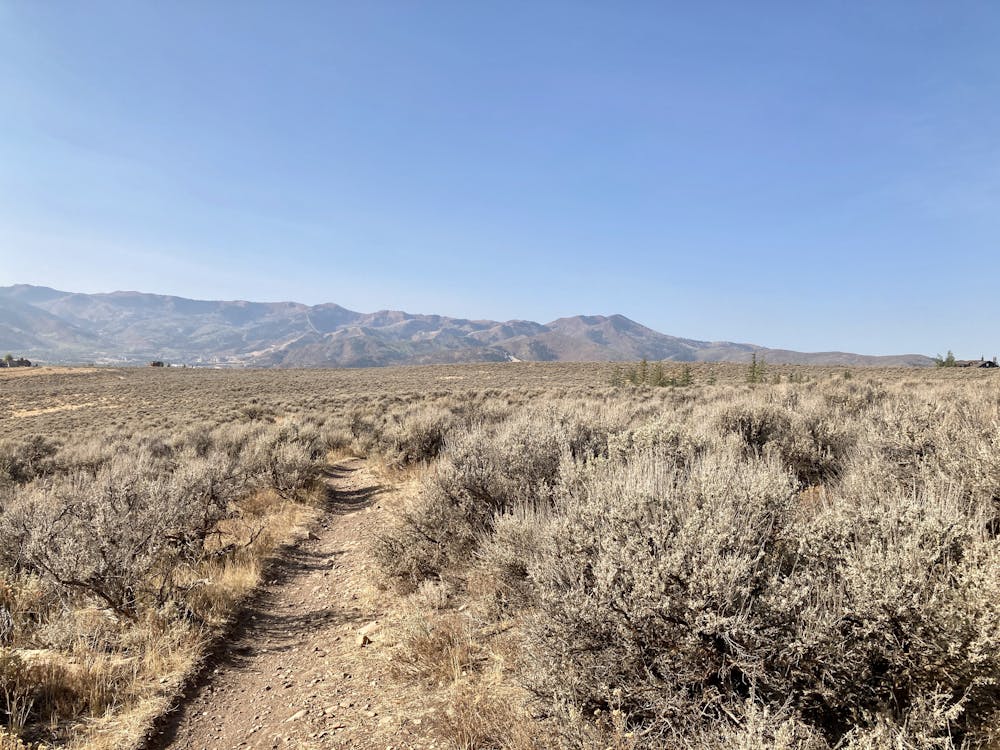
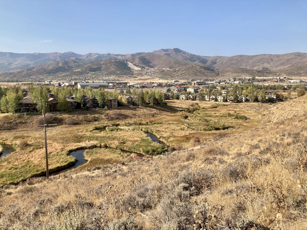
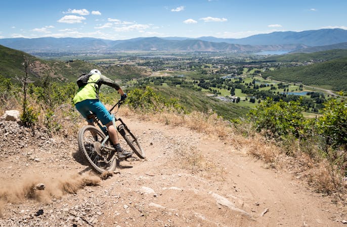
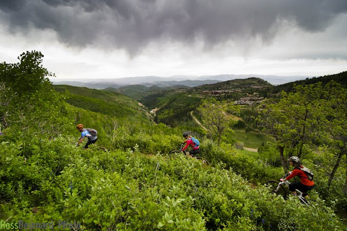
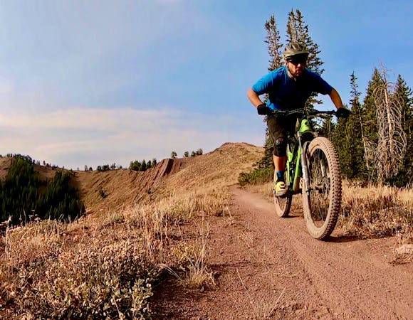
The Glenwild Trail System located near Kimball Junction lies at a lower elevation than most Park City trails, meaning the superb singletrack here is rideable longer than many other trails. This complex network offers many different types of riding including flowy descending, classic cross country singletrack, and directional feature-filled downhill lines in Bob's Basin. The route mapped here is one of the best ways to hit all of the highlights, like Flying Dog.
"Flying dog is one of those great pieces of intermediate, advanced intermediate singletrack riding," said Scott House of Jans/White Pine Touring in Park City.
"For the most part it’s pretty smooth—there’s not these massive rock gardens in it, but there are some technical rock sections, some stuff that will keep you on your toes, but none of it is unapproachable. I think it’s fun because you can get a mixed group out there, and it’s going to be a challenge for those low intermediates or beginners who are just getting into the sport, but it’s also going to be a lot of fun for that advanced group. You’re just riding it at different places."
The entire Glenwild trail system provides "plenty of little rock gardens sprinkled throughout, some really fun turny stuff through the sagebrush, and some flowy singletrack through the aspens," according to House. "Other than the alpine, it has everything you need in a singular trail system or loop.”
Sources: https://mountaintrails.org/wp-content/uploads/2015/04/Glenwild16-sm.jpg https://whitepinetouring.com/ https://www.jans.com/
Difficult
Mostly stable trail tread with some variability featuring larger and more unavoidable obstacles that may include, but not be limited to: bigger stones, roots, steps, and narrow curves. Compared to lower intermediate, technical difficulty is more advanced and grades of slopes are steeper. Ideal for upper intermediate riders.

The trail contains some obstacles such as outcroppings and rock which could cause injury.

Close to help in case of emergency.
7.7 km away
A high desert trail system with gorgeous views and flowy intermediate singletrack.
Moderate Mountain Biking
8.5 km away
An excellent contour singletrack trail that runs across the entire mountainside above Park City, connecting to dozens of other trails along the way.
Difficult Mountain Biking
8.6 km away
One of Park City's most easily-accessible loop rides.
Moderate Mountain Biking
8.6 km away
A pedal-driven loop of the Wasatch Crest Trail, using Pinecone to gain the ridge.
Difficult Mountain Biking
9.2 km away
A favorite quick hit ride from downtown Park City.
Moderate Mountain Biking
10 routes · Mountain Biking
6 routes · Mountain Biking
5 routes · Mountain Biking