4.1 km away
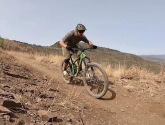
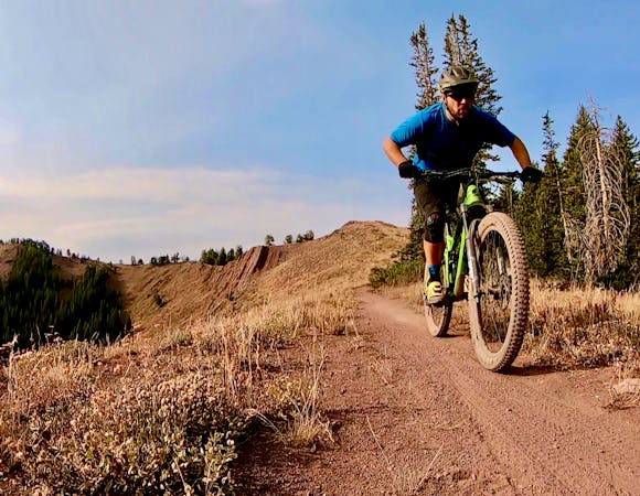
Lost Prospector Loop
A favorite quick hit ride from downtown Park City.
Moderate Mountain Biking
- Distance
- 14 km
- Ascent
- 332 m
- Descent
- 332 m
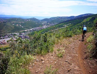
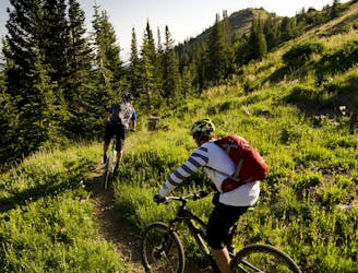
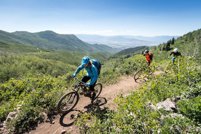
A high desert trail system with gorgeous views and flowy intermediate singletrack.
Mountain Biking Moderate

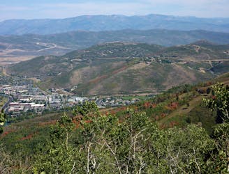
The Round Valley trail system is located just outside of Park City proper, but instead of being an alpine environment, this entire trail system is exclusively located in a high desert environment. This means the trails flow through lots of sagebrush and scrub oak, and also that every year, this trail system is the first one to open for mountain biking on dry dirt in the spring and the last to close in the fall. In mid-winter, Round Valley also hosts the majority of the fat biking in Park City.
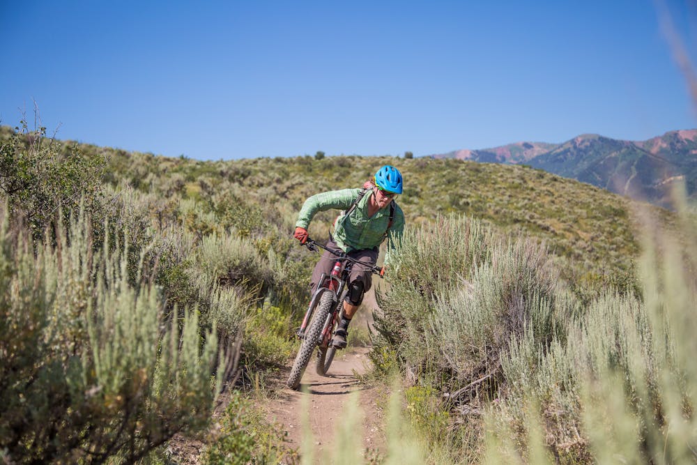
The loop mapped here hits the key highlights in Round Valley, but multiple options exist. The Rusty Shovel trail specifically is a must-ride highlight. "Rusty Shovel has some great built, armored berms," said Scott House of Jans/White Pine Touring in Park City. Thanks to the more recent trail design and construction compared to other trails in Round Valley, the flow on Rusty Shovel is top-notch, providing an uber-fun descent.
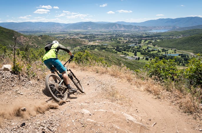
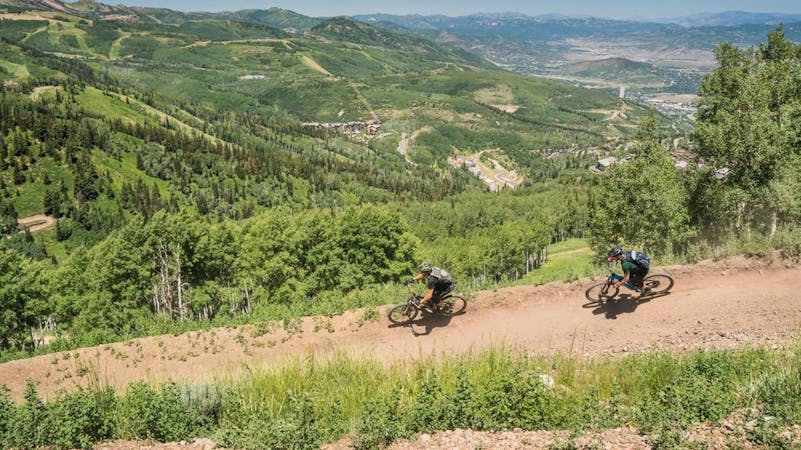
While Round Valley is located down in the valley, surprisingly that means the views are actually some of the best in Park City. "Because you’re not riding actually up on the mountain itself and you’re riding in the valley, you get some really incredible views, which I think you often don’t get on a lot of trails in Utah, because its canyon country," said House. "Round Valley provides incredible views of the Park City ridgeline and out to the Uinta Mountains."
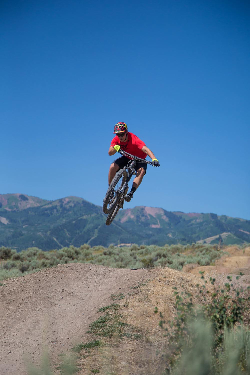
If you're looking for a more intense mountain biking experience, Round Valley connects directly to Trailside Bike Park, which is filled with dirt jump lines, downhill trails, skills obstacles, and more.
Sources: https://mountaintrails.org/wp-content/uploads/2015/04/RV17.jpg https://whitepinetouring.com/ https://www.jans.com/
Moderate
Mostly stable trail tread with some variability, with unavoidable obstacles 8in/20cm tall or less. Other obstacles such as rock gullies and steep sections may exist. Ideal for lower intermediate riders.

The trail contains some obstacles such as outcroppings and rock which could cause injury.

Close to help in case of emergency.
4.1 km away
A favorite quick hit ride from downtown Park City.
Moderate Mountain Biking
4.4 km away
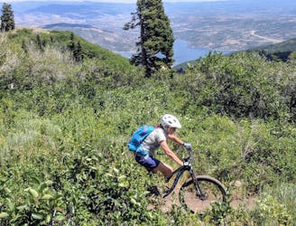
An excellent contour singletrack trail that runs across the entire mountainside above Park City, connecting to dozens of other trails along the way.
Difficult Mountain Biking
4.4 km away
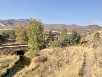
One of Park City's most easily-accessible loop rides.
Moderate Mountain Biking
4.4 km away
A pedal-driven loop of the Wasatch Crest Trail, using Pinecone to gain the ridge.
Difficult Mountain Biking
4.7 km away
The complete point-to-point Mid Mountain route in all its glory.
Moderate Mountain Biking
7.7 km away
Flying Dog is a renowned flow-filled intermediate descent that's snow free most of the year.
Difficult Mountain Biking
7.8 km away

A double black diamond old school DH line
Extreme Mountain Biking
7.8 km away

Tidal Wave offers over 50 intermediate-friendly table top jumps
Difficult Mountain Biking
7.9 km away

Old school fall line DH riding at its finest.
Extreme Mountain Biking
8.8 km away
An easily-accessible shuttle route off of Guardsman Pass Road
Difficult Mountain Biking
10 routes · Mountain Biking
8 routes · Mountain Biking
6 routes · Mountain Biking
5 routes · Mountain Biking
8 routes · Mountain Biking