2.1 km away
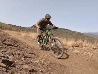
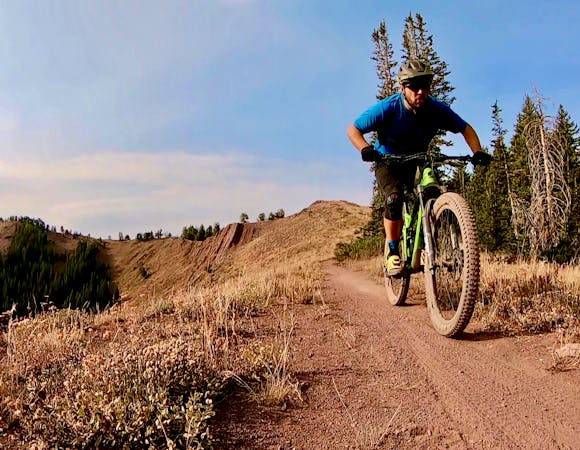
Lost Prospector Loop
A favorite quick hit ride from downtown Park City.
Moderate Mountain Biking
- Distance
- 14 km
- Ascent
- 332 m
- Descent
- 332 m
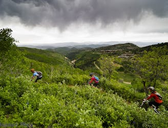
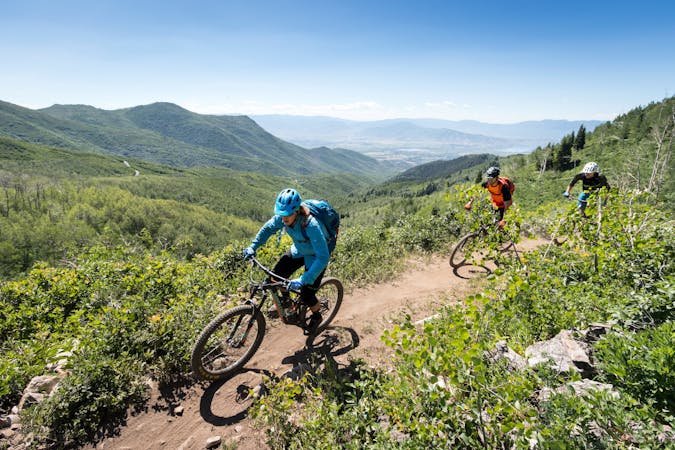
The complete point-to-point Mid Mountain route in all its glory.
Mountain Biking Moderate

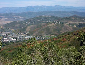
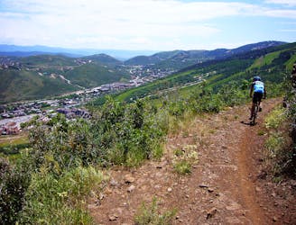
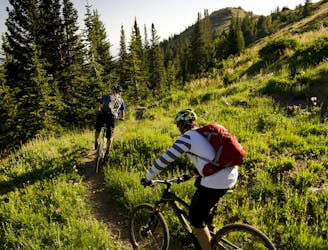
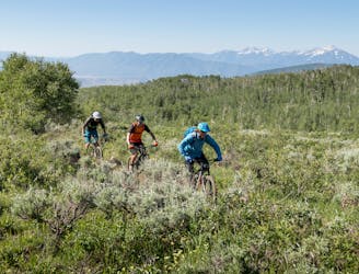
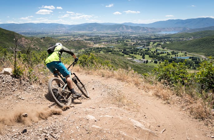
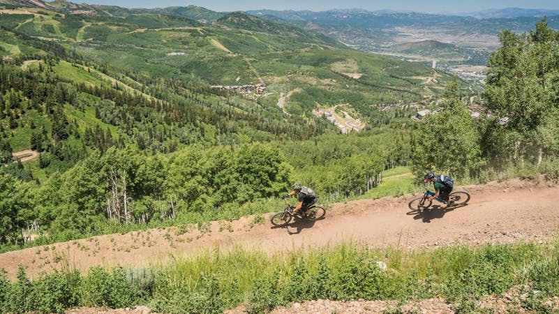
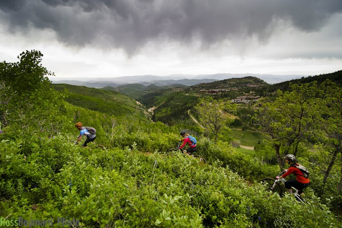
The Mid Mountain Trail roughly follows an 8,000-foot elevation contour as it traverses through the mountains above Park City. Bench cut singletrack rolls along the mountainside, providing a surprising amount of climbing and descending for a contour trail. While this trail is mostly smooth and flowy overall, rock gardens and root webs crop up in places—perfect for intermediate-level riders. Where the trail crosses ski runs in the various resorts, jaw-dropping views open up of Park City below and the surrounding area.
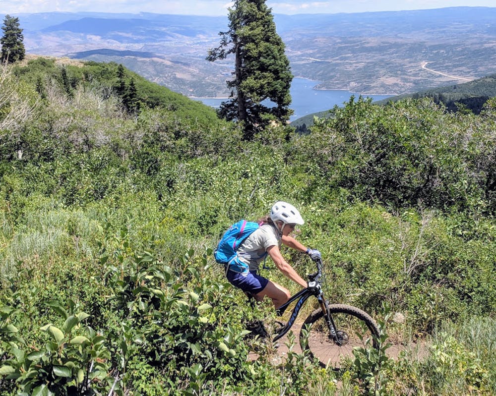
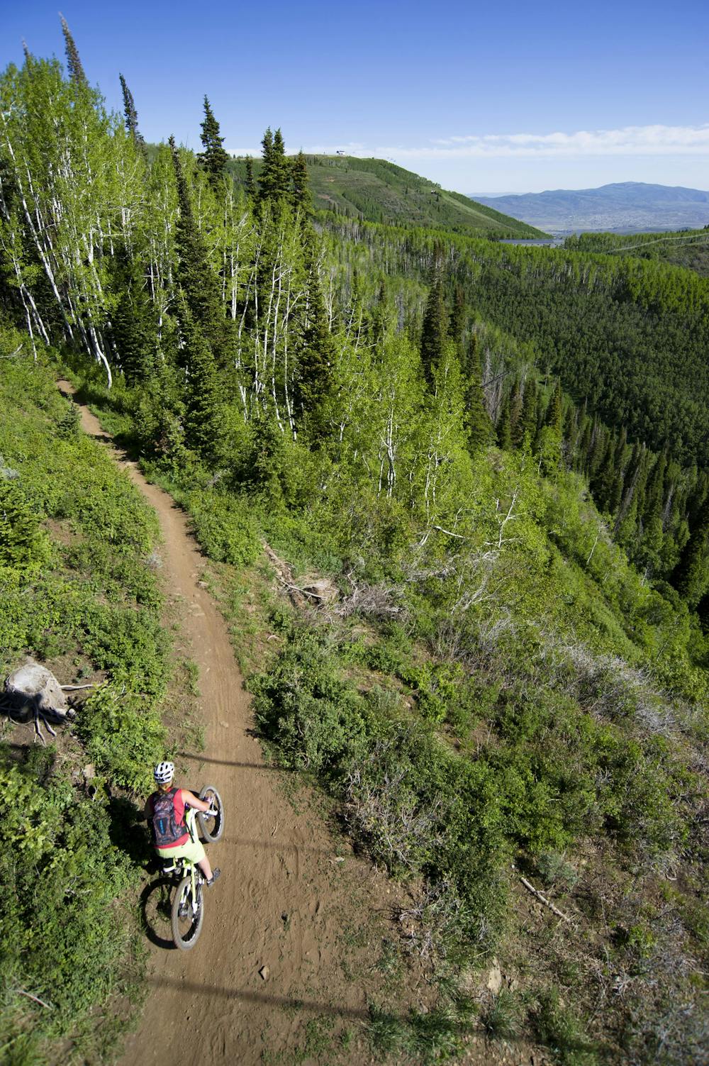

Overall, Park City's trails fall into the intermediate difficulty range, with some being a bit easier and some being a bit harder. This holds true for Mid Mountain, but Mid Mountain is one of the older trails that was built for mountain bikers in this region. At points, the trail shows its age with its alignment and wear, but it still remains a classic. When riders talk about mountain biking in Park City, they'll most often mention the Wasatch Crest first... and then Mid Mountain second. Despite some sections that might not flow that well, this trail is still a must-ride in Park City.
While many people ride Mid Mountain as a shorter loop from downtown Park City, the entire point-to-point route mapped here begins at Deer Valley and traverses all the way across the mountainside, ending near Jeremy Ranch and Interstate 80. In order to complete this point-to-point, you’ll need to shuttle, utilize the bus system, a combination of both… or if you’re a boss, you could just pedal it as one massive loop.
Sources: http://mountaintrails.org/wp-content/uploads/2016/06/MM2017-1.jpeg https://www.basinrecreation.org/trail/mid-mountain/
Moderate
Mostly stable trail tread with some variability, with unavoidable obstacles 8in/20cm tall or less. Other obstacles such as rock gullies and steep sections may exist. Ideal for lower intermediate riders.

The trail contains some obstacles such as outcroppings and rock which could cause injury.

Close to help in case of emergency.
2.1 km away
A favorite quick hit ride from downtown Park City.
Moderate Mountain Biking
3 km away
A pedal-driven loop of the Wasatch Crest Trail, using Pinecone to gain the ridge.
Difficult Mountain Biking
3 km away
One of Park City's most easily-accessible loop rides.
Moderate Mountain Biking
3.1 km away
An excellent contour singletrack trail that runs across the entire mountainside above Park City, connecting to dozens of other trails along the way.
Difficult Mountain Biking
3.1 km away

A double black diamond old school DH line
Extreme Mountain Biking
3.2 km away

Tidal Wave offers over 50 intermediate-friendly table top jumps
Difficult Mountain Biking
3.2 km away

Old school fall line DH riding at its finest.
Extreme Mountain Biking
4.3 km away
An easily-accessible shuttle route off of Guardsman Pass Road
Difficult Mountain Biking
4.7 km away
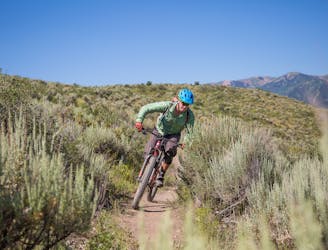
A high desert trail system with gorgeous views and flowy intermediate singletrack.
Moderate Mountain Biking
5.5 km away
The WOW trail connects Park City with Midway and Heber City, making for both a great shuttle run and a pedal-driven connection.
Moderate Mountain Biking
10 routes · Mountain Biking
8 routes · Mountain Biking
6 routes · Mountain Biking
5 routes · Mountain Biking
8 routes · Mountain Biking

20 routes · Mountain Biking