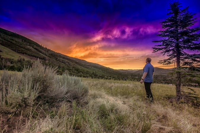
Ensign Peak
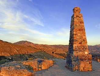
A short hike to a stunning view of Salt Lake City from the top of Ensign Peak.
Moderate Hiking
- Distance
- 1.7 km
- Ascent
- 114 m
- Descent
- 114 m
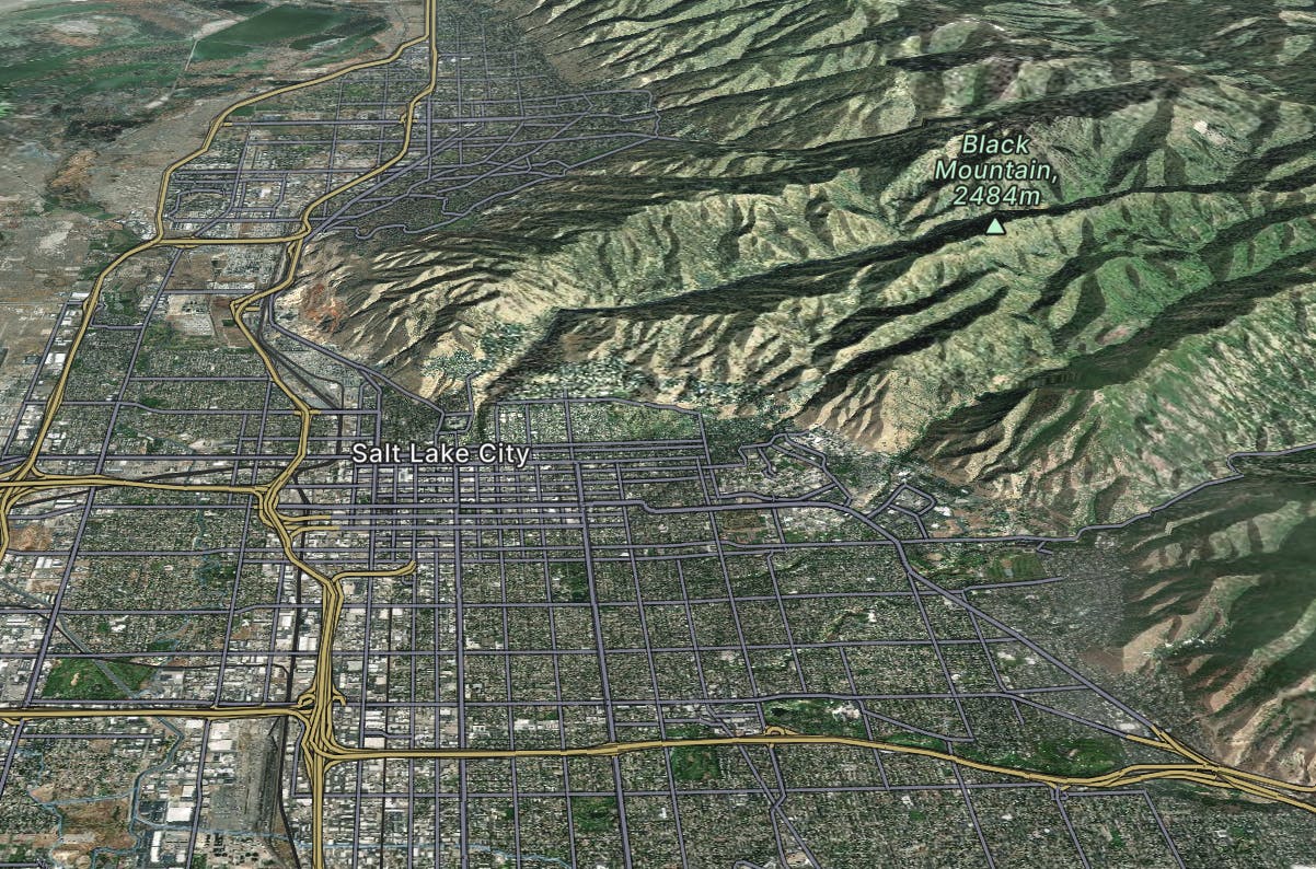
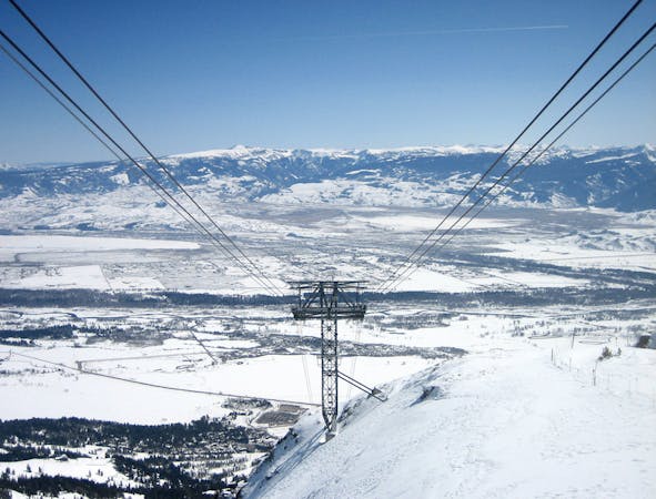
Explore Salt Lake City with curated guides of the best hiking trails, mountain bike trails, trail running routes, ski routes, and more. With over 285 3D trail maps in FATMAP, you can easily discover and navigate the best trails in Salt Lake City.
No matter what your next adventure has in store, you can find a guide on FATMAP to help you plan your next epic trip.
Get a top trail recommendation in Salt Lake City from one of our 19 guidebooks, or get inspired by the 285 local adventures uploaded by the FATMAP community. Start exploring now!
A short hike to a stunning view of Salt Lake City from the top of Ensign Peak.
Moderate Hiking
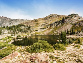
A short and family-friendly hike to a beautiful alpine lake
Moderate Hiking
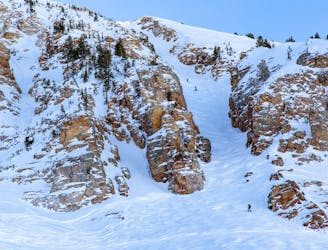
Early or late season uphill access at Alta, taking Collins Gulch toward Mount Baldy.
Moderate Resort Ski Touring

Access from Brighton to backcountry zones like Patsy Marley and Wolverine Cirque.
Moderate Ski Touring

Inbounds uphill route at Brighton Resort, with option to exit through a backcountry gate.
Moderate Resort Ski Touring

The typical uphill access at Alta, used for inbounds and backcountry terrain.
Easy Resort Ski Touring

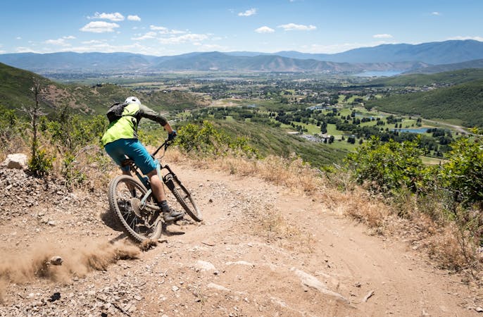
Arguably Salt Lake City's most famous mountain bike trail.
Difficult Mountain Biking
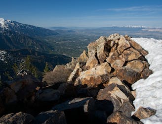
Mount Olympus is one of the most visible and well known peaks along the Wasatch Front.
Extreme Hiking
14 routes · Hiking
10 routes · Mountain Biking

25 routes · Mountain Biking

10 routes · Hiking

18 routes · Resort Ski Touring · Ski Touring

10 routes · Hiking

10 routes · Mountain Biking
8 routes · Freeride Skiing · Ski Touring