3.4 km away
Bonneville Shoreline Trail: Tunnel Springs to I-80
One of the most popular sections of the BST.
Difficult Hiking
- Distance
- 31 km
- Ascent
- 909 m
- Descent
- 989 m
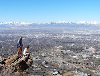
A short hike to a stunning view of Salt Lake City from the top of Ensign Peak.
Hiking Moderate

If you're looking for a short and steep hike with amazing views of Salt Lake City and the surrounding mountains, you might want to check out the Ensign Peak Trail and Overlook. This 0.9-mile out-and-back trail starts from a small park on Ensign Vista Drive, a residential street above the Utah Capitol Building. You'll need to park on the street and be respectful of the neighbors.
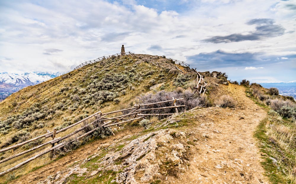
The trail begins with a sign that provides historical information about Ensign Peak, a landmark that was used by Mormon pioneers to survey the valley and plan their settlement. The trail climbs steadily through grassy slopes and rocky switchbacks, with no shade along the way.
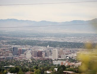
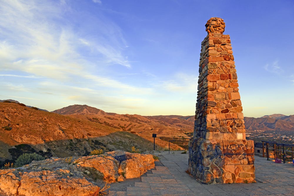
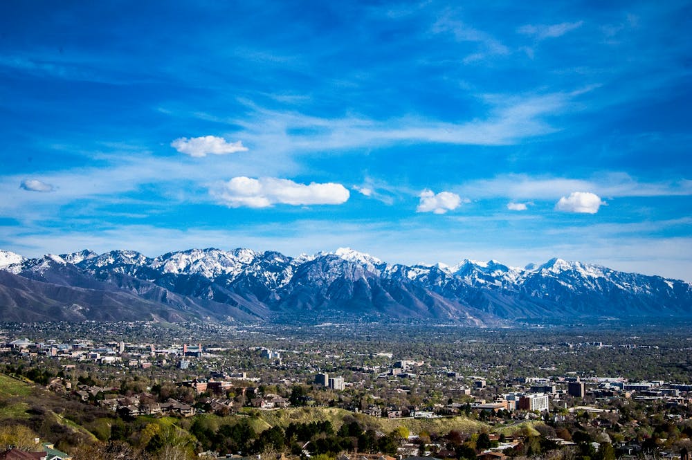
The trail ends at a monument that marks the spot where Brigham Young and his companions stood in 1847 and envisioned the future of their city. From here, you'll enjoy panoramic views of the entire Salt Lake Valley, the Great Salt Lake, and the Wasatch and Oquirrh mountain ranges. You can also see the LDS Temple and other prominent buildings downtown. The overlook is a great place to take photos, have a snack, or watch the sunset.
Sources: Ensign Peak Hiking Trail Maps & Info | Visit Utah. https://www.visitutah.com/places-to-go/cities-and-towns/salt-lake-city/trails/ensign-peak. Ensign Peak Hike - Utah.com. https://www.utah.com/destinations/cities-towns/salt-lake-city/hiking/ensign-peak-hike/. Conversation with Bing Chat
Moderate
Hiking along trails with some uneven terrain and small hills. Small rocks and roots may be present.

The trail contains some obstacles such as outcroppings and rock which could cause injury.

Close to help in case of emergency.
3.4 km away
One of the most popular sections of the BST.
Difficult Hiking
6.7 km away
Quick suburban hike to a low summit.
Difficult Hiking

10 routes · Alpine Climbing · Hiking