6.1 km away
Grandeur Peak: West Ridge Route
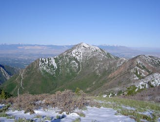
A short, steep hike to the summit of Grandeur Peak.
Difficult Hiking
- Distance
- 7 km
- Ascent
- 1 km
- Descent
- 1 km
Quick suburban hike to a low summit.
Hiking Difficult

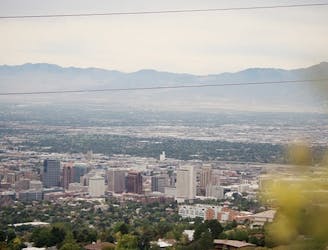
Mount Wire, aka Big Beacon, is a prominent foothill on the Wasatch Front. From the summit, you can look down directly onto downtown and enjoy views of the skyline.
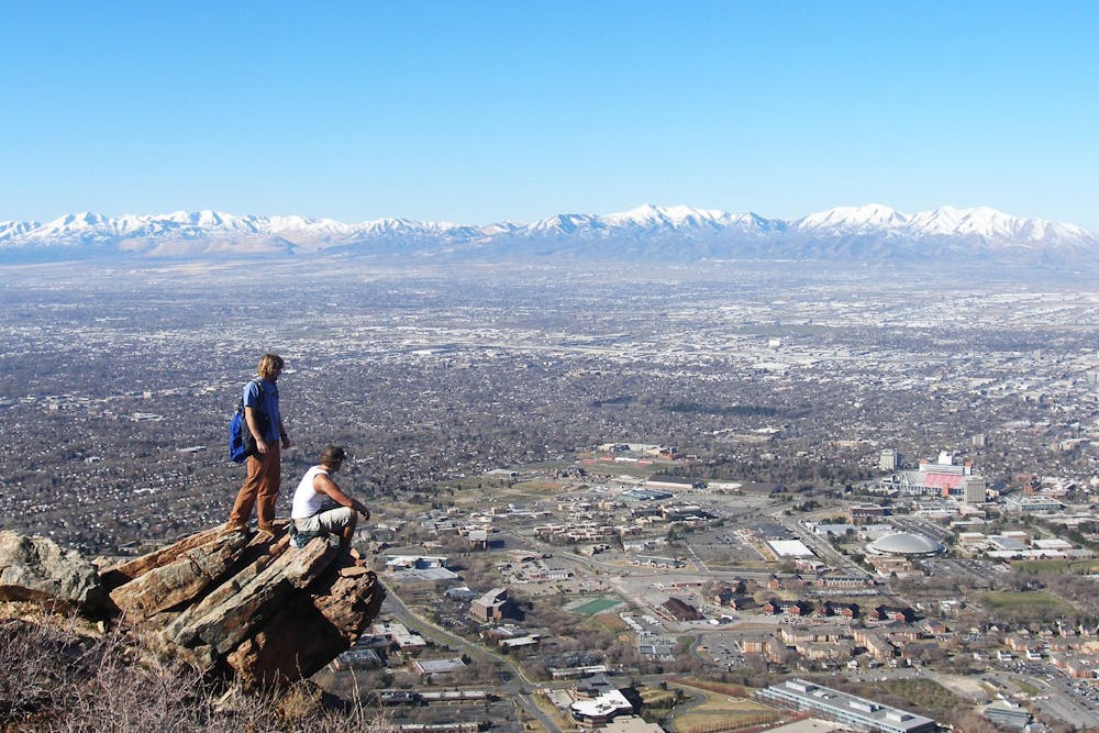
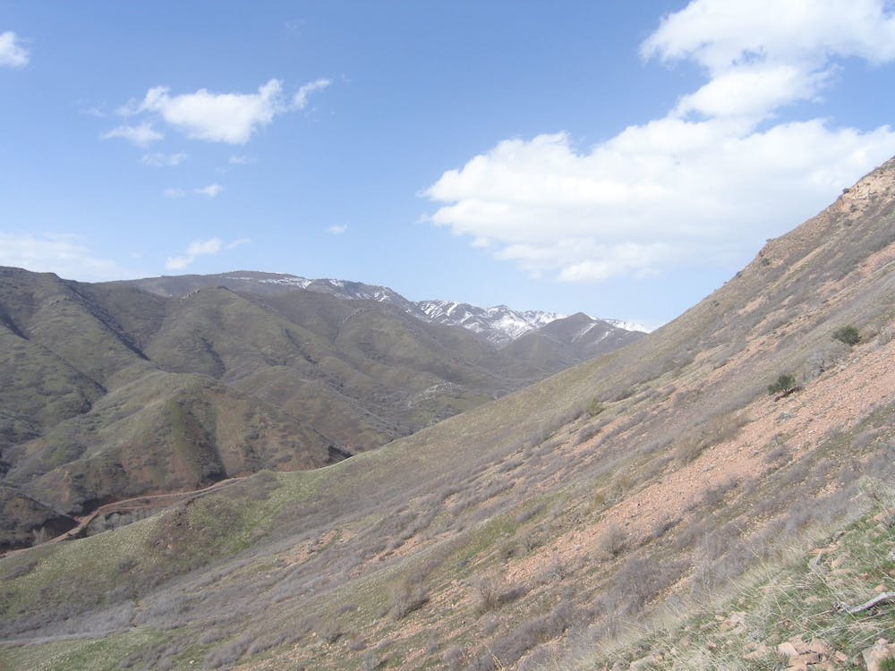
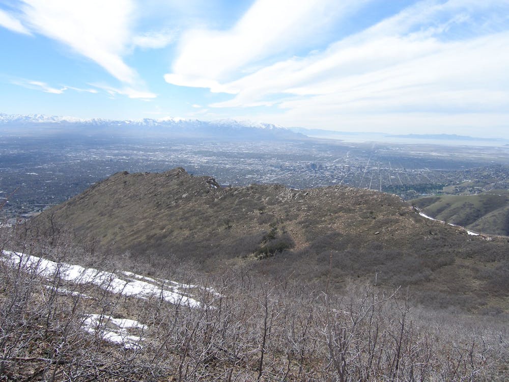
The route mapped here makes a loop of Mount Wire, tagging Red Butte along the way. It ascends Red Butte via the Living Room trail, and then descends straight off the top of Mount Wire. While you can make a more direct ascent of the mountain, turning this hike into a loop means that you’ll enjoy new scenery around every corner!
The trails up and down Mount Wire can be steep and rocky, but this is a relatively non-technical climb, and a good way to build fitness.
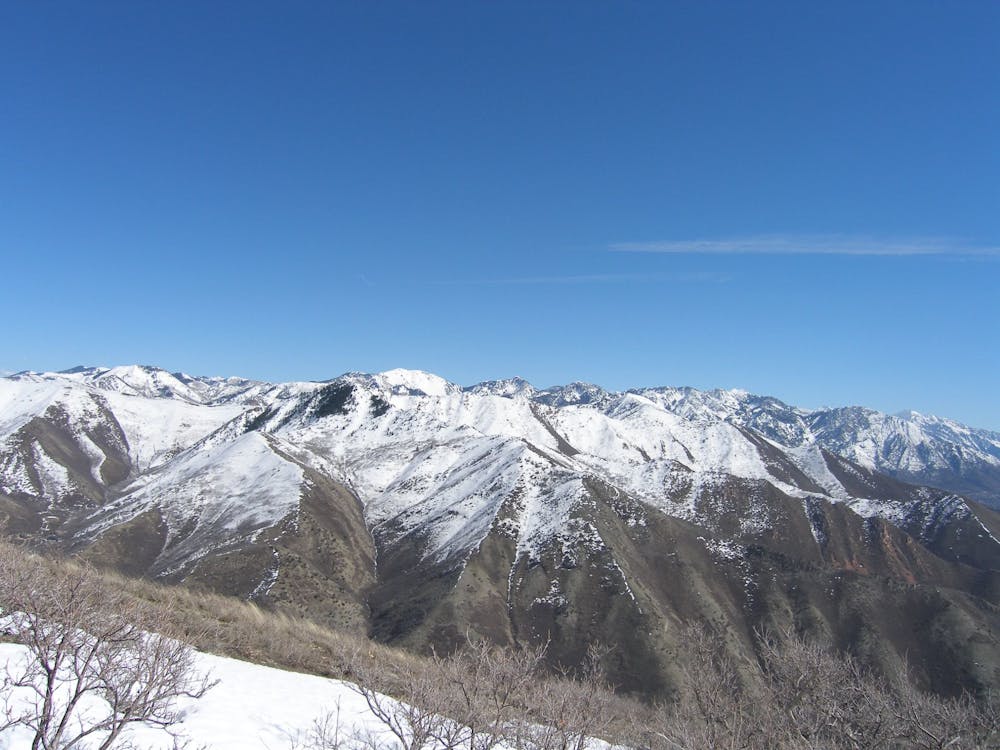
Spring is hands-down the best time to bag Mount Wire. "Generally, the spring flowers are in full splendor from mid-May to mid-June,” according to RoadTripRyan). "If you happen to time it right, the hillsides are a veritable carpet of color,” he continues.
MrWasatch concurs on SummitPost.org, by saying, "while Mt. Wire is a relatively low elevation peak, it is an outstanding spring hike of over 2,000 vertical feet with incredible views in every direction, rampant wildflowers, and wildlife that includes the occasional rattlesnake or mountain lion. In most years the peak can be hiked free of snow in April, and is an excellent 'tune up' for the bigger mountains."
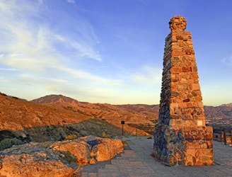
If you want to add on a little extra challenge and about 25 more feet of vertical, there’s an old airway beacon tower on top of the mountain that you can climb.
Sources: https://www.summitpost.org/mount-wire-big-beacon/154106 http://www.girlonahike.com/2016/03/mt-wire.html https://www.roadtripryan.com/go/t/utah/wasatch/mount-wire-(big-beacon)
Difficult
Hiking trails where obstacles such as rocks or roots are prevalent. Some obstacles can require care to step over or around. At times, the trail can be worn and eroded. The grade of the trail is generally quite steep, and can often lead to strenuous hiking.

The trail contains some obstacles such as outcroppings and rock which could cause injury.
Away from help but easily accessed.
6.1 km away
A short, steep hike to the summit of Grandeur Peak.
Difficult Hiking
6.7 km away
A short hike to a stunning view of Salt Lake City from the top of Ensign Peak.
Moderate Hiking
9.7 km away
One of the most popular sections of the BST.
Difficult Hiking

10 routes · Alpine Climbing · Hiking