6.1 km away
Mount Wire Loop
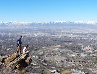
Quick suburban hike to a low summit.
Difficult Hiking
- Distance
- 6.3 km
- Ascent
- 645 m
- Descent
- 645 m
A short, steep hike to the summit of Grandeur Peak.
Hiking Difficult

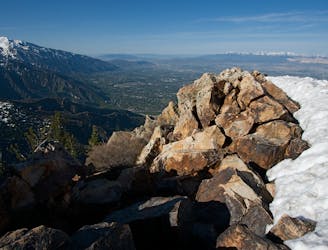
Grandeur Peak affords stunning views over Salt Lake City, and while you’ll have a steep climb to access the summit, it’s one of the shortest summit hikes in the region. This short but brutally-steep hike gains over 3,300 feet of elevation in a mere 2.2 miles to reach the summit. Adding up to just a 4.4-mile round trip, this is a quick jaunt for most accomplished climbers.
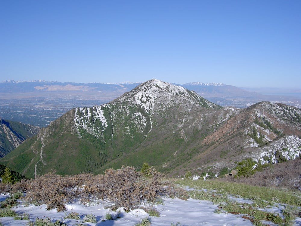
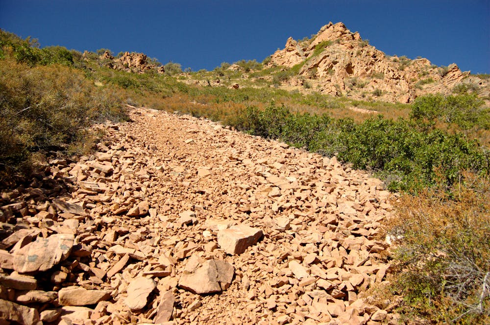
The route mapped here is known as the West Ridge route, departing directly from the outskirts of the city. It’s "undoubtably one of the steepest hikes on the Wasatch Front,” according to Joseph Bullough on SummitPost.org.
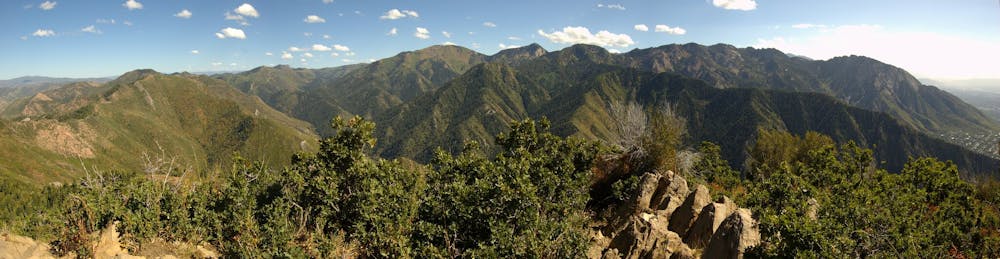
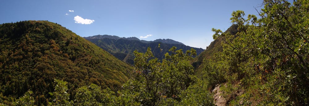
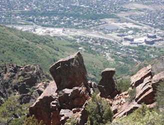
The lower section of the trail is easy to follow, but after passing the Dragon Tail rock formation, the trail gets rougher, steeper, and tougher to follow. The terrain is brushy and the trail is rocky, but overall its a largely non-technical climb. However, “you’ll have to employ a bit of route-finding to reach Grandeur Peak,” according to Backpacker Magazine.
If this route seems too steep, consider the slightly longer hike with a mellower grade from Church Fork Road.
Sources: https://utah.com/hiking/grandeur-peak https://www.summitpost.org/grandeur-peak/151751 https://www.backpacker.com/trips/salt-lake-city-ut-grandeur-peak-west-face
Difficult
Hiking trails where obstacles such as rocks or roots are prevalent. Some obstacles can require care to step over or around. At times, the trail can be worn and eroded. The grade of the trail is generally quite steep, and can often lead to strenuous hiking.

The trail contains some obstacles such as outcroppings and rock which could cause injury.
Away from help but easily accessed.
6.1 km away
Quick suburban hike to a low summit.
Difficult Hiking
6.2 km away
Mount Olympus is one of the most visible and well known peaks along the Wasatch Front.
Extreme Hiking
7.7 km away
Short and easy hike right out of the valley. Great place to walk the dog, or enjoy the waterfall that's in existence through the spring and early summer.
Moderate Hiking

10 routes · Alpine Climbing · Hiking