1.8 km away
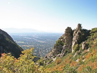
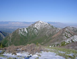
Mount Olympus
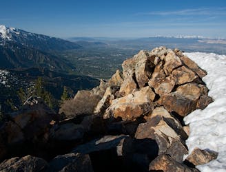
Mount Olympus is one of the most visible and well known peaks along the Wasatch Front.
Extreme Hiking
- Distance
- 10 km
- Ascent
- 1.3 km
- Descent
- 1.3 km
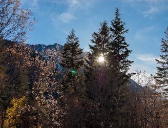
Short and easy hike right out of the valley. Great place to walk the dog, or enjoy the waterfall that's in existence through the spring and early summer.
Hiking Moderate

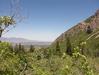
The Heughs Canyon trail starts from the upscale subdivision off of Wasatch Boulevard. This is a roughly 3.7-mile round trip hike that only gains 1,000 feet in elevation.
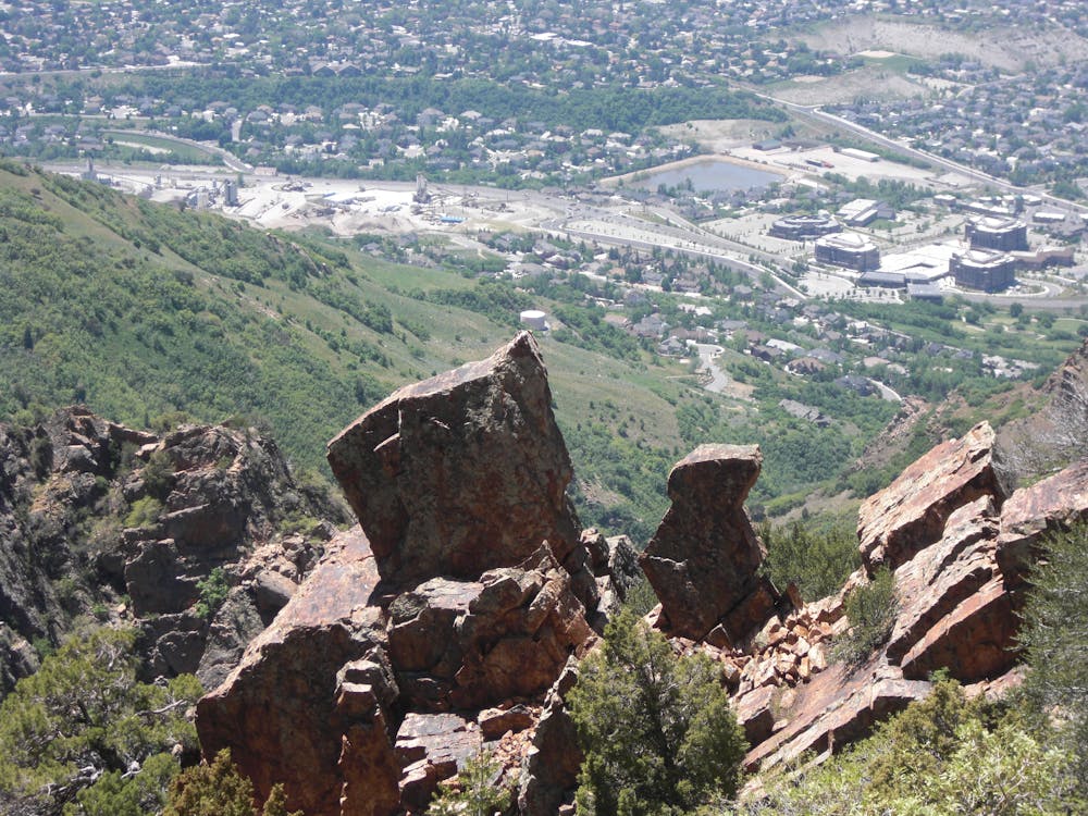
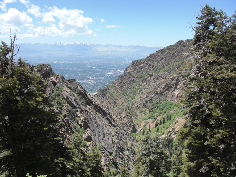
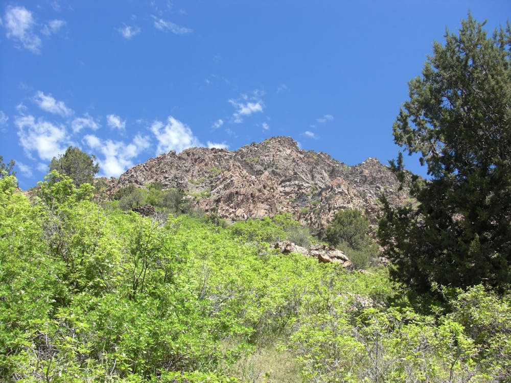
Getting onto the trail from the neighborhood can be a little tricky. Once onto it, you'll find a nicely-shaded trail that follows along the creek until it reaches an opening with a large pile of scree and a great waterfall that runs in the spring. This area is known for having a healthy rattlesnake population so keep a good eye out.
From Wasatch Boulevard turn onto Canyon Cove Drive. Continue on to Oak Canyon Dr. 3480 East and turn left. Find a place to park near Heughs Canyon Circle or Canyon Winds Lane. From here there are some gate access points through the yards and onto the trail. The path is well marked. Continue into the canyon and follow the trail until it dead ends in a rocky debris pile.
Moderate
Hiking along trails with some uneven terrain and small hills. Small rocks and roots may be present.
1.8 km away
Mount Olympus is one of the most visible and well known peaks along the Wasatch Front.
Extreme Hiking
3.2 km away
The Ferguson Canyon hike is a quick way to get out and away from the city.
Difficult Hiking
6 km away
The mighty Twin Peaks are the most visible and prominent mountains in the Wasatch front.
Extreme Hiking
6 km away
This is a moderate hike that gains access to one of the most scenic lakes in the Wasatch.
Difficult Hiking
7.4 km away
Bells Canyon is a very steep, long trail that takes you past beautiful waterfalls and into the rugged heart of the Wasatch Mountains.
Difficult Hiking
7.4 km away
This 7 mile out and back trail covers moderate ground as it climbs along the creek for 1,700 feet.
Moderate Hiking
7.7 km away
A short, steep hike to the summit of Grandeur Peak.
Difficult Hiking

10 routes · Hiking

10 routes · Hiking

10 routes · Alpine Climbing · Hiking