14 m away
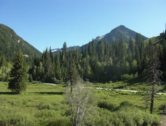
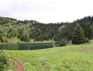
Mill B South
This is a moderate hike that gains access to one of the most scenic lakes in the Wasatch.
Difficult Hiking
- Distance
- 9.8 km
- Ascent
- 809 m
- Descent
- 809 m
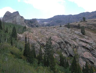
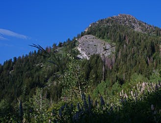
The mighty Twin Peaks are the most visible and prominent mountains in the Wasatch front.
Hiking Extreme

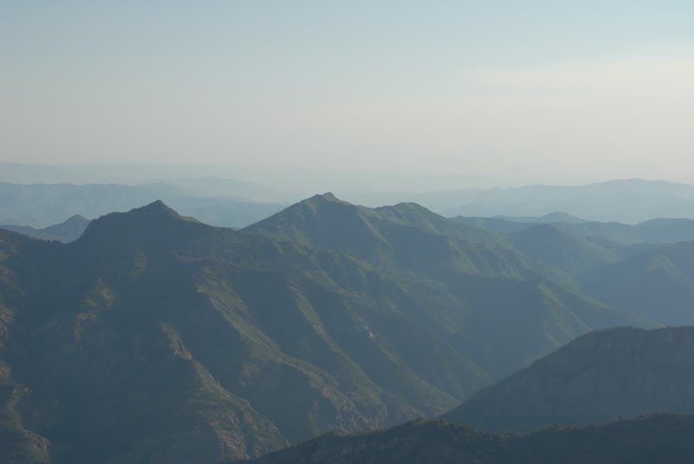
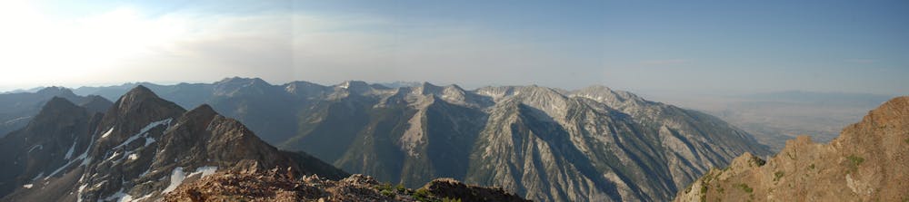
The Twin Peaks rise over 7,000 feet from the valley floor and top out just over 11,000 feet. The access up Broads Fork is the "easiest" approach, but still requires over 5,000 feet of ascent and some scrambling. The views of the Salt Lake City valley are well-worth the effort.
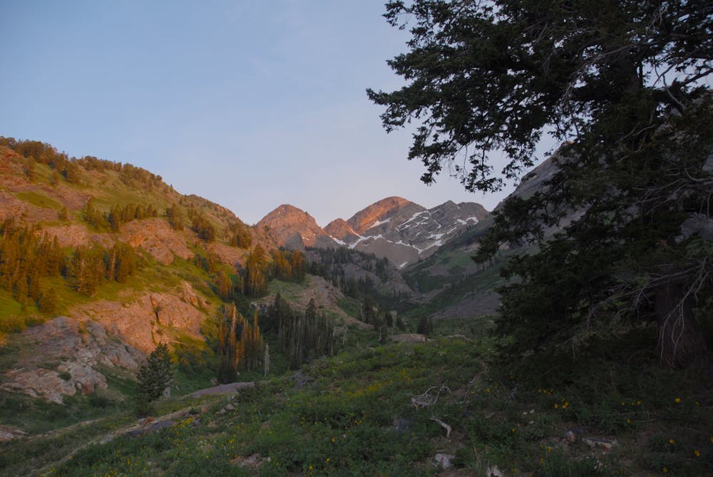
There are many ways to the top of Twin Peaks, but none of them are easy. The Broads Fork approach is the most straight forward and travels along trail for most of the way.
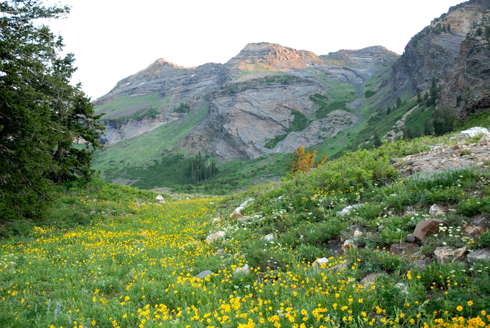
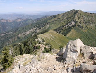
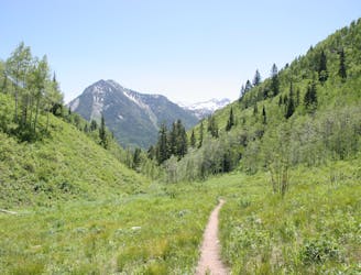
The trail starts on a well-defined path through the woods and up to the beaver pond where the route opens out into the alpine. The trail heads south up the drainage along a good path until it hits the scree fields beneath the peak. From here, it meanders through the loose rock then gains the ridge and continues to the summit for some of the finest views in the state.
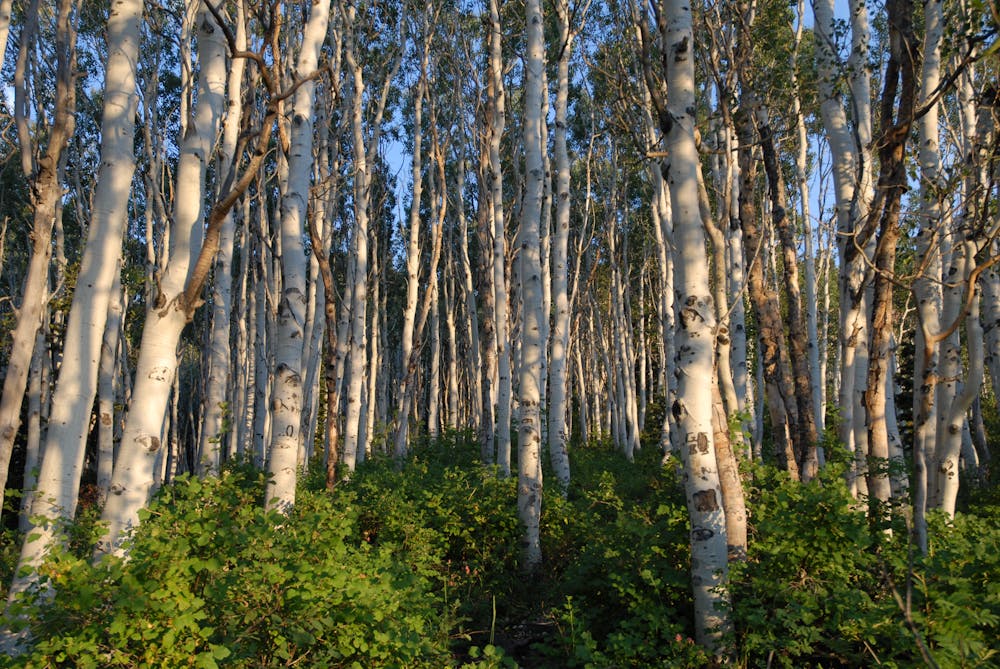
The trail is well-maintained and easy to follow through the thick forest. Continue up and over a nice bridge as you gain easy elevation. The canyon begins to open up as it climbs through some aspen groves and eventually opens up as it reaches the beaver ponds. Continue around the ponds to the west and stay on the trail as it follows up the main gut of the drainage. A nice spring appears near the base of the eastern face of Twin Peaks.
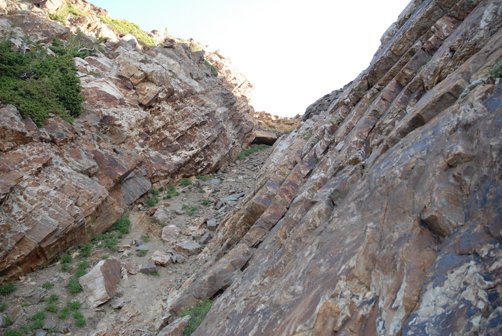
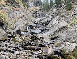
Keep heading up canyon following the path and the cairns. The trail continues up into the scree fields and staying on route can be a little tricky through the loose rocks, but there are plenty of cairns and staying on trail isn't that important - just keep heading up to the visible saddle to the east of the summit.
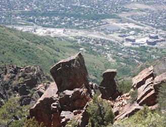
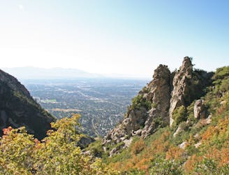
Once on the ridge, you can stay exactly on the high ground and you'll encounter a few 5th class scrambling moves, or stay lower on the south face and traverse into the gully. Both variations will get you to the final summit ridge where you'll find a well-beaten path through the rocks and onto the east summit. The quick hike over to the higher west summit is well worth the effort since you're in the neighborhood.
Extreme
Scrambling up mountains and along technical trails with moderate fall exposure. Handholds are necessary to navigate the trail in its entirety, although they are not necessary at all times. Some obstacles can be very large and difficult to navigate, and the grades can often be near-vertical. The challenge of the trail and the steepness of the grade results in very strenuous hiking. Hikes of this difficulty blur the lines between "hiking" and "climbing".
14 m away
This is a moderate hike that gains access to one of the most scenic lakes in the Wasatch.
Difficult Hiking
5.5 km away

The trail up Gobblers Knob is a Wasatch classic that offers moderate hiking through aspen groves and into the open alpine.
Difficult Hiking
5.5 km away
Mount Raymond is one of the tallest and most prominent peaks along the Big Cottonwood/Millcreek ridge.
Severe Hiking
5.5 km away
This is a 7 mile loop with 2,000 feet of elevation that passes through thick woods and opens up with breathtaking views across the canyon.
Difficult Hiking
6 km away
Short and easy hike right out of the valley. Great place to walk the dog, or enjoy the waterfall that's in existence through the spring and early summer.
Moderate Hiking
6 km away
The Ferguson Canyon hike is a quick way to get out and away from the city.
Difficult Hiking
6.6 km away
Scenic hike to a small waterfall in a narrow canyon.
Moderate Hiking
6.6 km away
This is an easy hike up an old road grade through a beautiful drainage lined by rugged alpine peaks.
Moderate Hiking
6.6 km away
A very steep hike to one of the most prominent peaks in Big Cottonwood Canyon
Extreme Hiking
6.6 km away
This is a lovely moderate hike through some large aspen groves reaching a quiet little lake.
Moderate Hiking

10 routes · Hiking

10 routes · Hiking

10 routes · Alpine Climbing · Hiking