1 m away
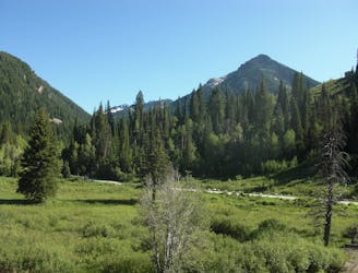
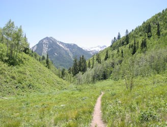
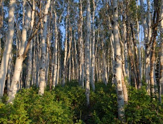
Donut Falls
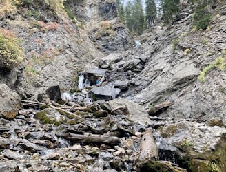
Scenic hike to a small waterfall in a narrow canyon.
Moderate Hiking
- Distance
- 5.3 km
- Ascent
- 160 m
- Descent
- 160 m
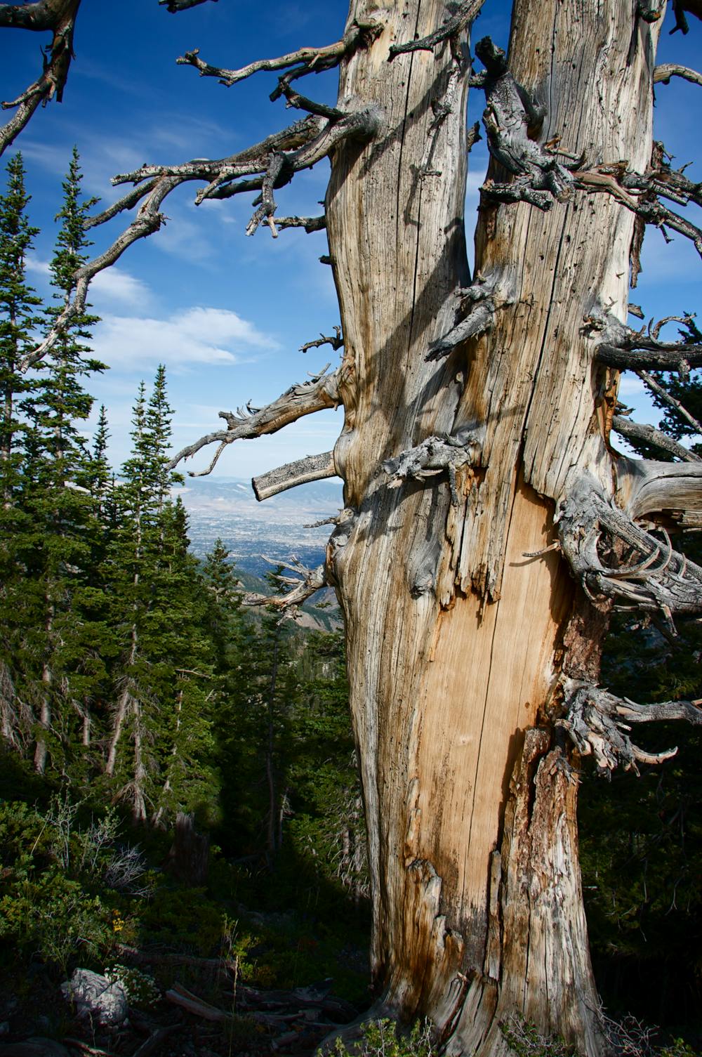
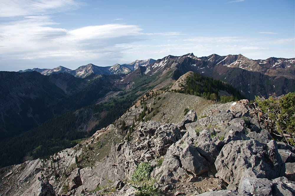
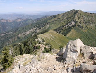
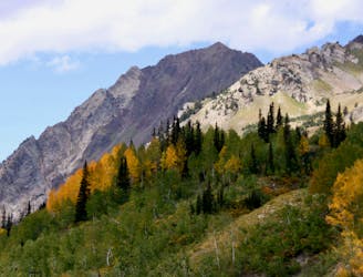
A very steep hike to one of the most prominent peaks in Big Cottonwood Canyon
Hiking Extreme

This is one of the steepest hikes in the Wasatch mountains. The trail follows steep switchbacks through the forest for just over 2 miles with 3,000 feet of elevation gain. The trail is a little tricky to find, but it's worth it for the summit views. The steep terrain keeps it from being very busy despite its proximity to the Big Cottonwood Canyon road and the very popular Doughnut Falls trail.
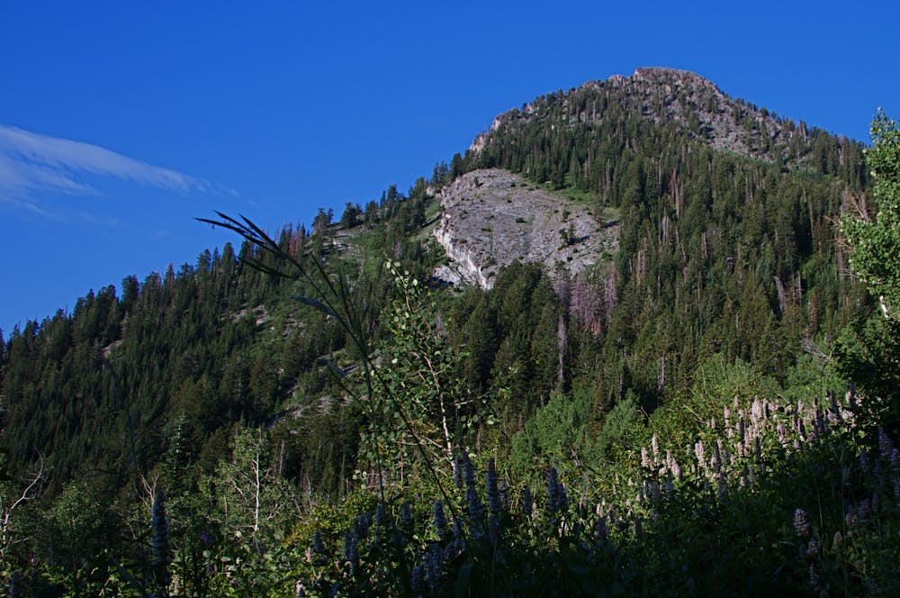
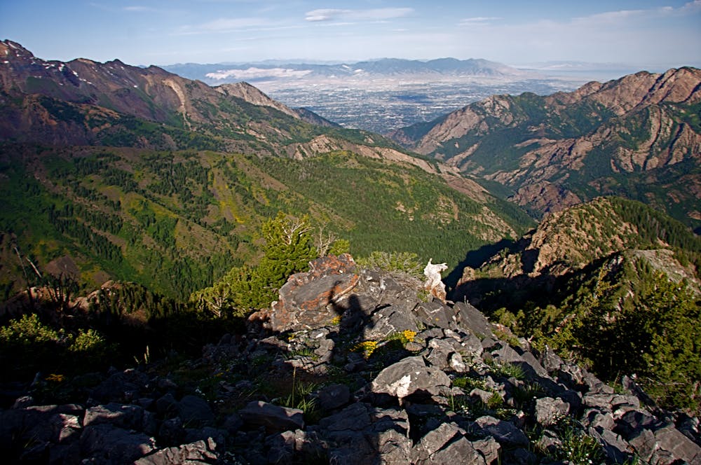
Extreme
Scrambling up mountains and along technical trails with moderate fall exposure. Handholds are necessary to navigate the trail in its entirety, although they are not necessary at all times. Some obstacles can be very large and difficult to navigate, and the grades can often be near-vertical. The challenge of the trail and the steepness of the grade results in very strenuous hiking. Hikes of this difficulty blur the lines between "hiking" and "climbing".
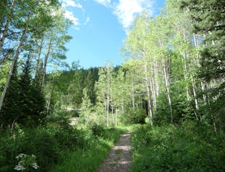
1 m away
Scenic hike to a small waterfall in a narrow canyon.
Moderate Hiking
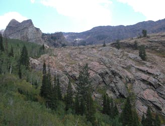
1 m away
This is an easy hike up an old road grade through a beautiful drainage lined by rugged alpine peaks.
Moderate Hiking
64 m away
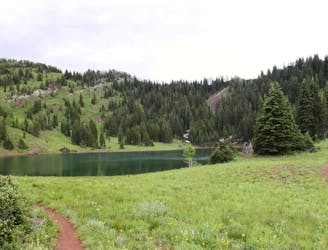
This is a lovely moderate hike through some large aspen groves reaching a quiet little lake.
Moderate Hiking
1.1 km away
This is a 7 mile loop with 2,000 feet of elevation that passes through thick woods and opens up with breathtaking views across the canyon.
Difficult Hiking
1.1 km away
Mount Raymond is one of the tallest and most prominent peaks along the Big Cottonwood/Millcreek ridge.
Severe Hiking
1.1 km away

The trail up Gobblers Knob is a Wasatch classic that offers moderate hiking through aspen groves and into the open alpine.
Difficult Hiking
1.2 km away
The Days Fork trail is a little over 7 miles round trip with some good elevation gain through a heavily wooded canyon that opens up into the Alpine as you gain the Little Cottonwood Ridge.
Difficult Hiking
6.6 km away
This is a moderate hike that gains access to one of the most scenic lakes in the Wasatch.
Difficult Hiking
6.6 km away
The mighty Twin Peaks are the most visible and prominent mountains in the Wasatch front.
Extreme Hiking
6.6 km away
The most iconic and well-known peak in the Wasatch Mountains.
Severe Hiking

10 routes · Hiking

10 routes · Hiking

10 routes · Alpine Climbing · Hiking