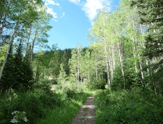
Donut Falls
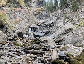
Scenic hike to a small waterfall in a narrow canyon.
Moderate Hiking
- Distance
- 5.3 km
- Ascent
- 160 m
- Descent
- 160 m
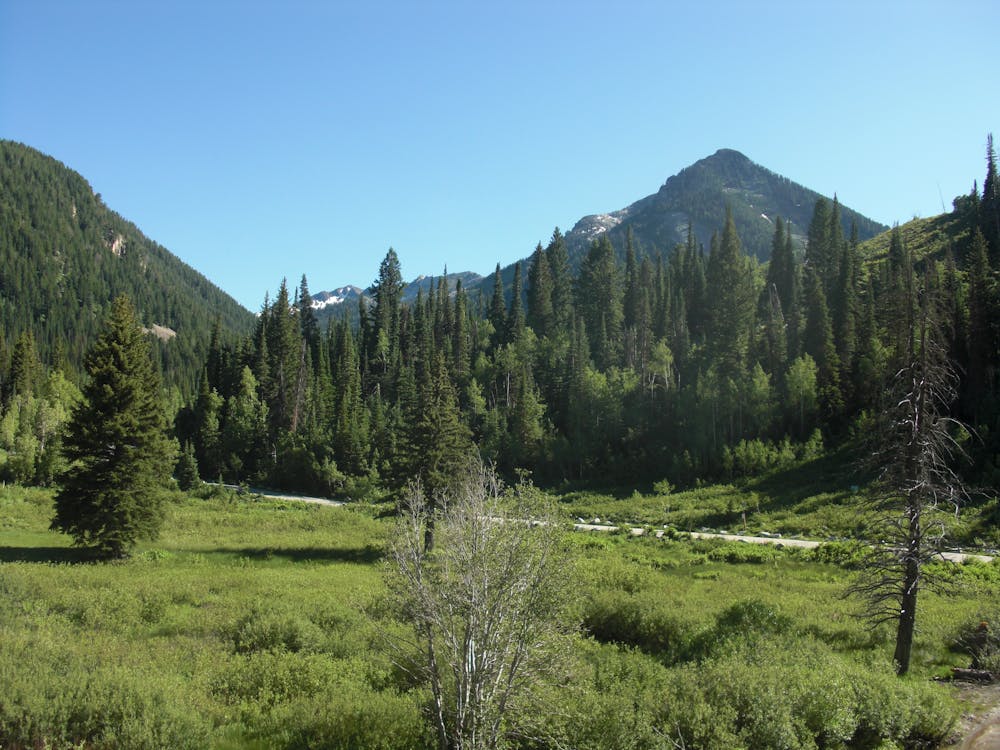
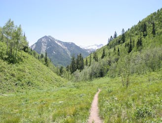
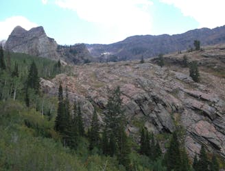
This is an easy hike up an old road grade through a beautiful drainage lined by rugged alpine peaks.
Hiking Moderate

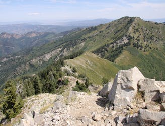
Cardiff Fork is a very scenic and moderate hike up one of the most popular canyons in the Wasatch. The climb is a bit over 2,500 feet in 3.5 miles (one-way) passing by some old mining relics and entering the upper alpine ridges. This hike has a few steep sections, but for the most part, it's mellow and follows an old jeep road. It is heavily traveled and well-marked.
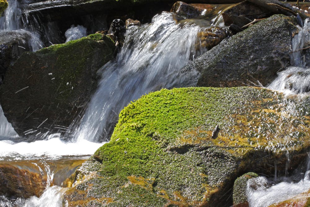
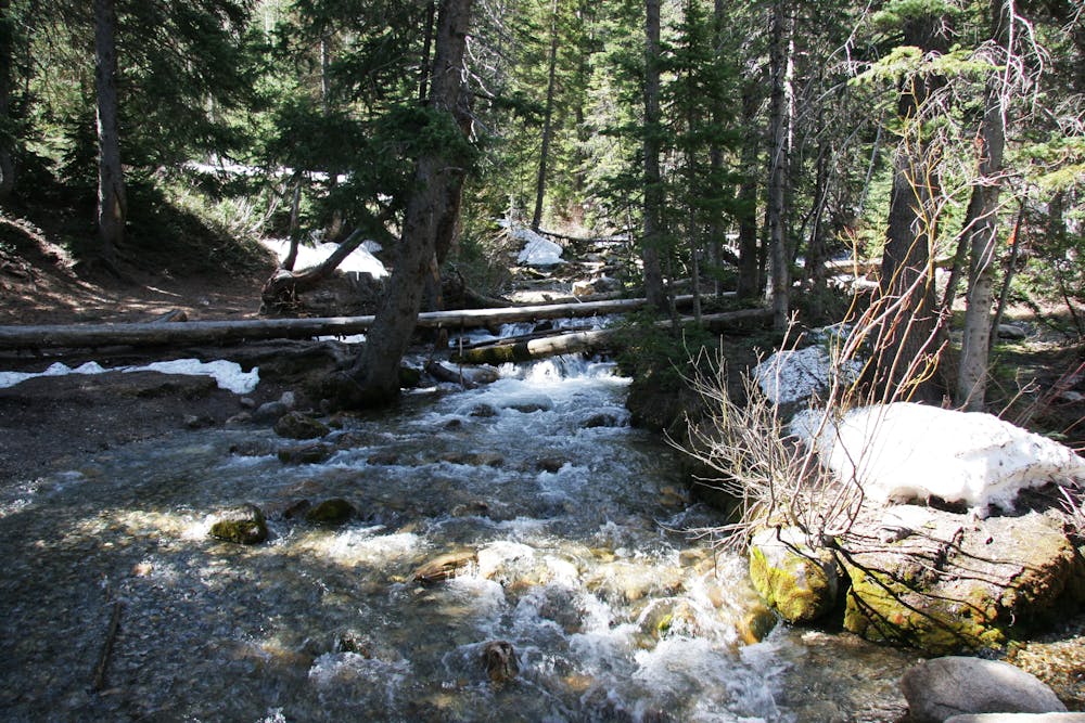
The unique Doughnut Falls is a short and worthwhile side attraction lower down in the canyon. This is a short hike to view the creek pouring through a hole in the roof of a small cave.
The main trail/road stays to the hikers right and shoots straight up the center of the canyon. It opens up to reveal the surrounding peaks and passes by several old mining sites.
In the upper valley, it gains a ridge in the middle of the drainage and continues to head south until it gains the Little Cottonwood Canyon ridge at Pole Line Pass. From here, one can continue to the west to Mount Superior, or scramble to the east and reach Flagstaff Peak.
Moderate
Hiking along trails with some uneven terrain and small hills. Small rocks and roots may be present.
Scenic hike to a small waterfall in a narrow canyon.
Moderate Hiking
1 m away
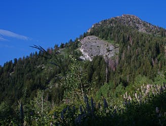
A very steep hike to one of the most prominent peaks in Big Cottonwood Canyon
Extreme Hiking
64 m away
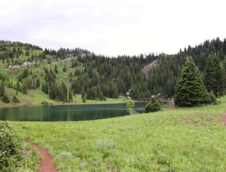
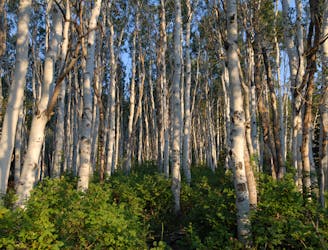
This is a lovely moderate hike through some large aspen groves reaching a quiet little lake.
Moderate Hiking
1.1 km away
This is a 7 mile loop with 2,000 feet of elevation that passes through thick woods and opens up with breathtaking views across the canyon.
Difficult Hiking
1.1 km away
Mount Raymond is one of the tallest and most prominent peaks along the Big Cottonwood/Millcreek ridge.
Severe Hiking
1.1 km away

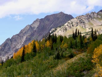
The trail up Gobblers Knob is a Wasatch classic that offers moderate hiking through aspen groves and into the open alpine.
Difficult Hiking
1.2 km away
The Days Fork trail is a little over 7 miles round trip with some good elevation gain through a heavily wooded canyon that opens up into the Alpine as you gain the Little Cottonwood Ridge.
Difficult Hiking
6.6 km away
This is a moderate hike that gains access to one of the most scenic lakes in the Wasatch.
Difficult Hiking
6.6 km away
The mighty Twin Peaks are the most visible and prominent mountains in the Wasatch front.
Extreme Hiking
6.6 km away
The most iconic and well-known peak in the Wasatch Mountains.
Severe Hiking

10 routes · Hiking

10 routes · Hiking

10 routes · Alpine Climbing · Hiking