0 m away
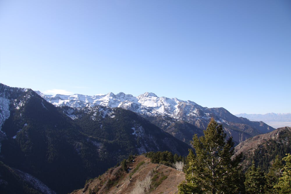
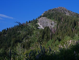
Mount Raymond
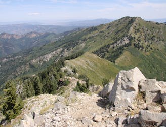
Mount Raymond is one of the tallest and most prominent peaks along the Big Cottonwood/Millcreek ridge.
Severe Hiking
- Distance
- 12 km
- Ascent
- 928 m
- Descent
- 926 m
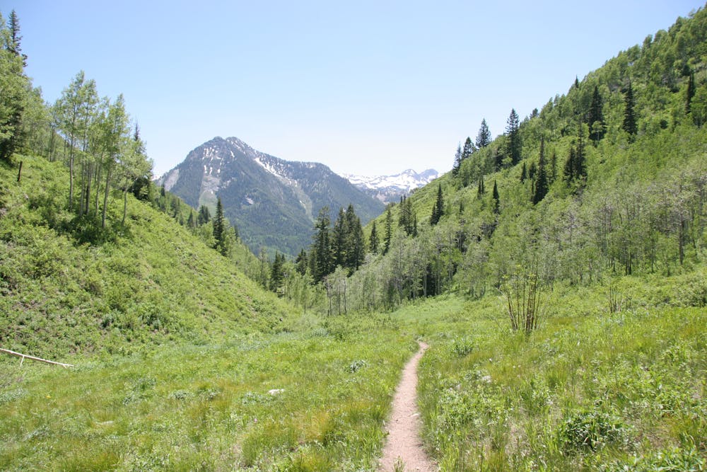
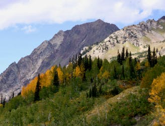
This is a 7 mile loop with 2,000 feet of elevation that passes through thick woods and opens up with breathtaking views across the canyon.
Hiking Difficult

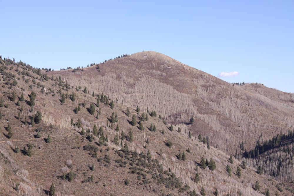
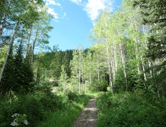
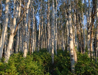
This is a very popular and fun 7-mile loop through some deep pine and aspen forests. The elevation gain is almost 2,000 feet, which is all gained at the beginning of the hike. It then levels out for many miles before descending back down to the road.
The loop can be taken in either direction. The counterclockwise route is a longer and more mellow way to gain elevation leading to a steeper descent. The clockwise direction is a steeper and shorter climb if you wish to get it out of the way and enjoy a more moderate descent.
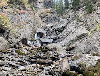
From the trailhead, follow the singletrack trail up the steep gully. Cross the bridge and head into the deep forest. A few hundred feet further you'll encounter a trail intersection. The trail can be hiked in either direction and will return to this location.
Taking the trail to the right (Dog Lake) is a much milder climb and might be the recommended way. This trail follows along the creek with some bridge crossings. The angle of the trail is moderate with some steep sections.
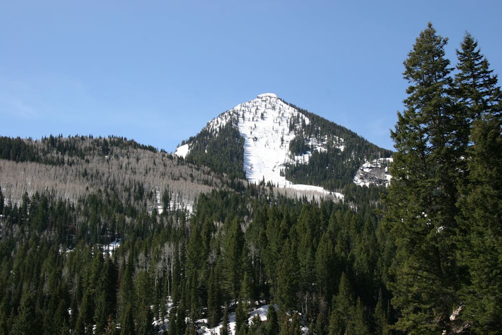
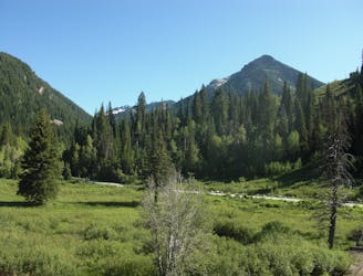
It gains the ridge and then you'll find another intersection. Take the left (east) branch which contours around the mountain with some stunning views of Kessler Peak and the Big Cottonwood ridge. This is a relatively flat section.
After a few miles, the trail intersects with the Raymond/Gobblers fork. Take the left trail and you'll end up on the switchbacks down through the aspen trees, eventually ending back at the intersection where the trail branched off.
Difficult
Hiking trails where obstacles such as rocks or roots are prevalent. Some obstacles can require care to step over or around. At times, the trail can be worn and eroded. The grade of the trail is generally quite steep, and can often lead to strenuous hiking.
0 m away
Mount Raymond is one of the tallest and most prominent peaks along the Big Cottonwood/Millcreek ridge.
Severe Hiking
3 m away

The trail up Gobblers Knob is a Wasatch classic that offers moderate hiking through aspen groves and into the open alpine.
Difficult Hiking
1.1 km away
This is an easy hike up an old road grade through a beautiful drainage lined by rugged alpine peaks.
Moderate Hiking
1.1 km away
Scenic hike to a small waterfall in a narrow canyon.
Moderate Hiking
1.1 km away
A very steep hike to one of the most prominent peaks in Big Cottonwood Canyon
Extreme Hiking
1.2 km away
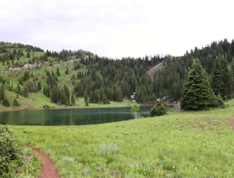
This is a lovely moderate hike through some large aspen groves reaching a quiet little lake.
Moderate Hiking
2.2 km away
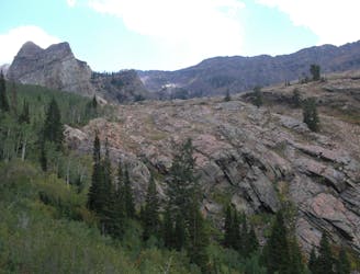
The Days Fork trail is a little over 7 miles round trip with some good elevation gain through a heavily wooded canyon that opens up into the Alpine as you gain the Little Cottonwood Ridge.
Difficult Hiking
5.5 km away
This is a moderate hike that gains access to one of the most scenic lakes in the Wasatch.
Difficult Hiking
5.5 km away
The mighty Twin Peaks are the most visible and prominent mountains in the Wasatch front.
Extreme Hiking
6.9 km away
The most iconic and well-known peak in the Wasatch Mountains.
Severe Hiking

10 routes · Hiking

10 routes · Hiking

10 routes · Alpine Climbing · Hiking