3.2 km away
Heughs Canyon
Short and easy hike right out of the valley. Great place to walk the dog, or enjoy the waterfall that's in existence through the spring and early summer.
Moderate Hiking
- Distance
- 4.3 km
- Ascent
- 449 m
- Descent
- 449 m
The Ferguson Canyon hike is a quick way to get out and away from the city.
Hiking Difficult

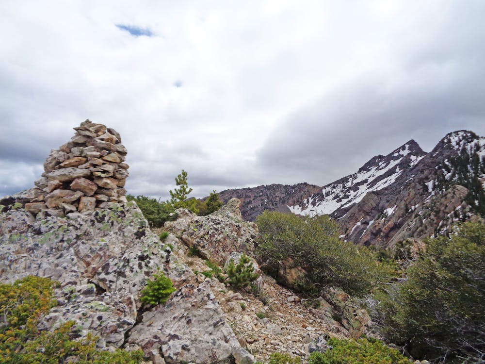
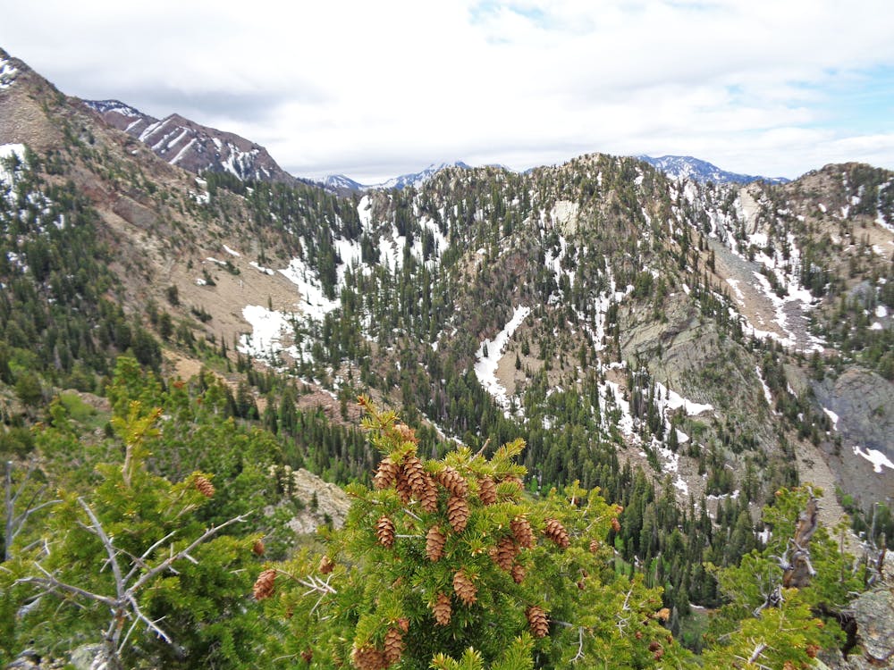
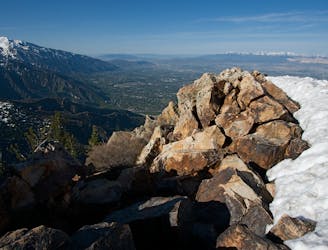
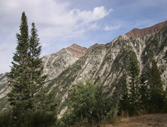
It's 3.5 miles into the upper meadow with a gain of over 4,000 feet. The lower portion of the trail sees a lot of traffic from day hikers and climbers, but higher up it's rare to run into anyone at all. The trail does become overgrown and fainter the higher you go. You can access the summit of Storm Mountain or gain the ridge for a fun scramble to Twin Peaks once you're in the upper meadow.
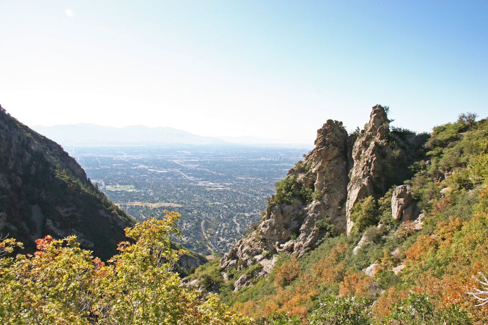
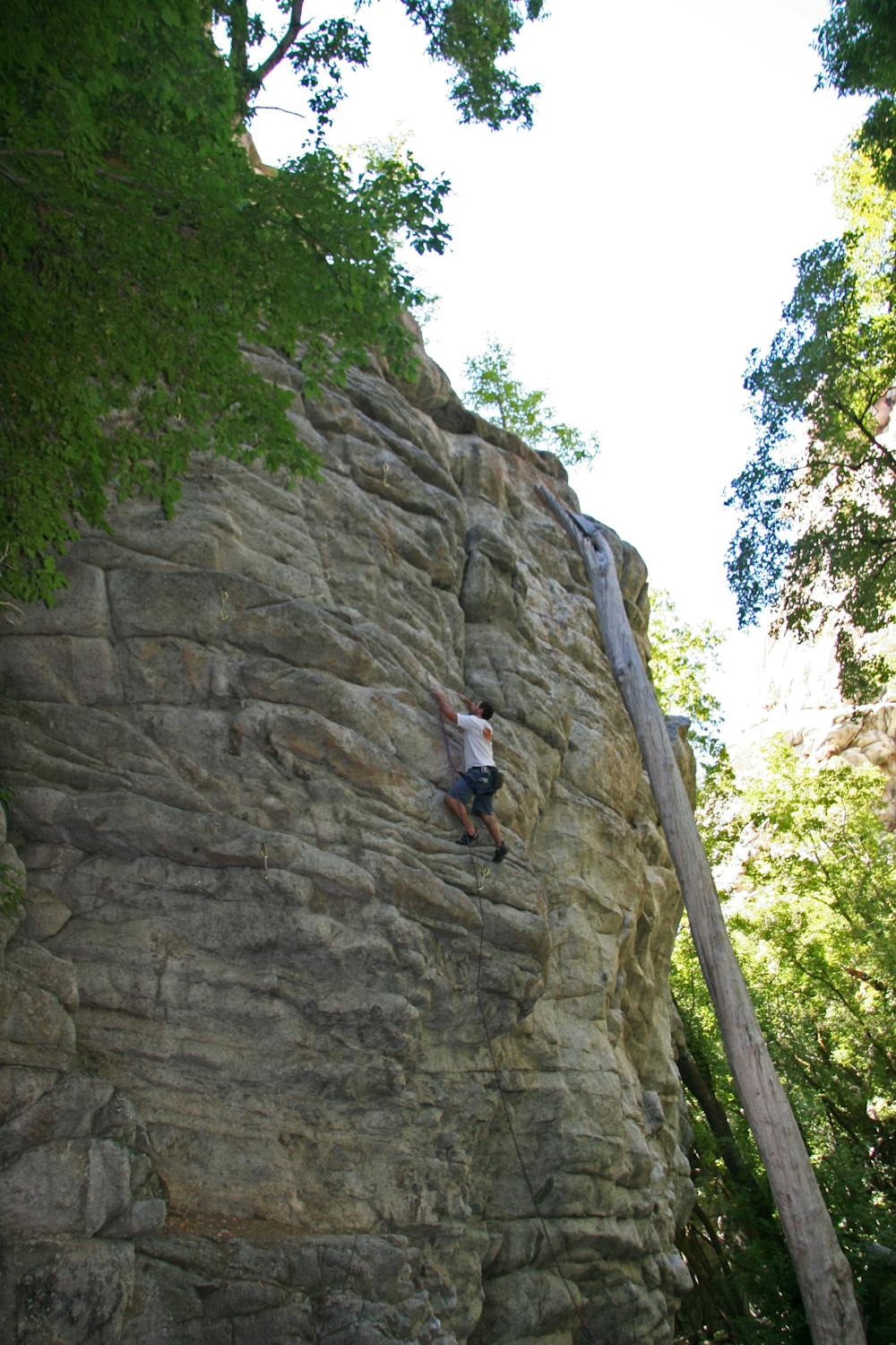

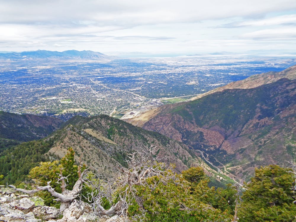
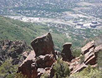
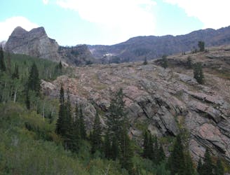
Hike up the road, through the gate and past the water tower. From here the trail drops down into the gully and long the creek. From here it continues up the canyon past some large rock cliffs where there are several good sport climbing routes. The trail can wander at times, but keep heading up canyon and it will consolidate. It crosses the creek a few times and has some steep and loose sections to navigate. Eventually, it will head to the north in some long switchbacks that depart from the canyon bottom. After several switchbacks, a large rock outcrop will appear.
From here the trail branches off with the more well-beaten trail continuing to the ridge and a lookout point, but the trail into the upper canyon cuts back up the canyon and into the brush. This will continue up the canyon on a faint, but easy to follow trail. The oak brush can be thick and annoying, but persevere up a steep gully and you'll enter a lush upper meadow.
From here you can access the summit of Storm Mountain to the north, or continue up and to the right (southwest) and gain the ridge to Storm Mountain and Twin Peaks.
Difficult
Hiking trails where obstacles such as rocks or roots are prevalent. Some obstacles can require care to step over or around. At times, the trail can be worn and eroded. The grade of the trail is generally quite steep, and can often lead to strenuous hiking.
3.2 km away
Short and easy hike right out of the valley. Great place to walk the dog, or enjoy the waterfall that's in existence through the spring and early summer.
Moderate Hiking
4.2 km away
This 7 mile out and back trail covers moderate ground as it climbs along the creek for 1,700 feet.
Moderate Hiking
4.3 km away
Bells Canyon is a very steep, long trail that takes you past beautiful waterfalls and into the rugged heart of the Wasatch Mountains.
Difficult Hiking
4.9 km away
Mount Olympus is one of the most visible and well known peaks along the Wasatch Front.
Extreme Hiking
6 km away
The mighty Twin Peaks are the most visible and prominent mountains in the Wasatch front.
Extreme Hiking
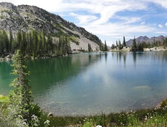
6.1 km away
This is a moderate hike that gains access to one of the most scenic lakes in the Wasatch.
Difficult Hiking
9.8 km away
White Pine trail is a classic moderate hike that follows an old jeep road high up into the central Wasatch to enjoy a quiet pristine lake in the rugged alpine landscape
Moderate Hiking
9.8 km away
This is a strenuous, but classic hike that contains a mix of shaded forrest and high alpine environments.
Extreme Hiking

10 routes · Hiking

10 routes · Hiking

10 routes · Alpine Climbing · Hiking