35 m away
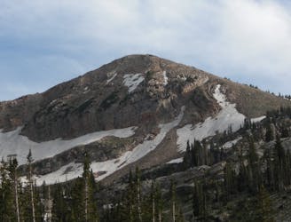
Pfeifferhorn Peak
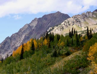
This is a strenuous, but classic hike that contains a mix of shaded forrest and high alpine environments.
Extreme Hiking
- Distance
- 15 km
- Ascent
- 1.2 km
- Descent
- 1.2 km
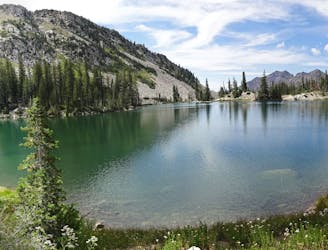
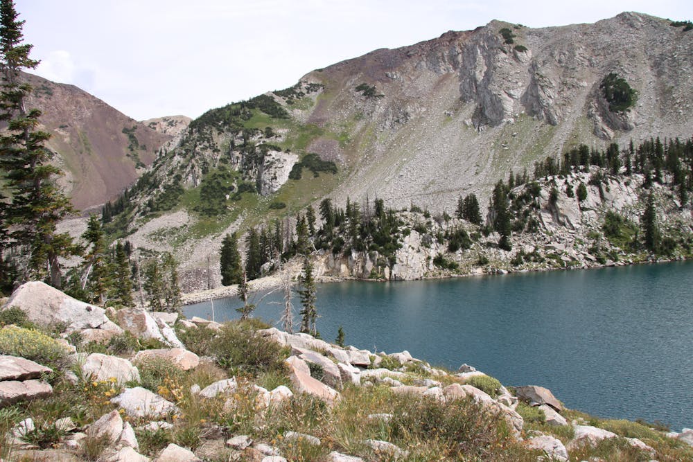
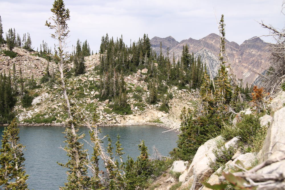
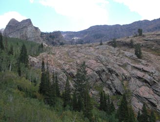
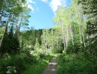
White Pine trail is a classic moderate hike that follows an old jeep road high up into the central Wasatch to enjoy a quiet pristine lake in the rugged alpine landscape
Hiking Moderate

The trail starts out moderate and continues as such for almost 5 miles until it reaches a lovely little alpine lake beneath some rugged granite peaks. The trail is well marked and heavily trafficked, but the scenery and surroundings will make it apparent why that is.
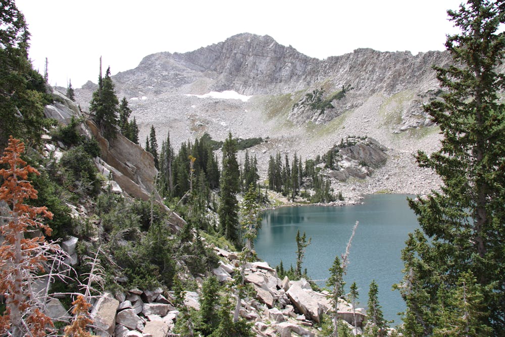
Park at the White Pine trailhead parking lot 5.5 miles up Little Cottonwood Canyon on the south side of the road. From here follow the well-beaten trail to the south where you'll cross a nice footbridge and head west, contouring down the canyon on an old road grade.
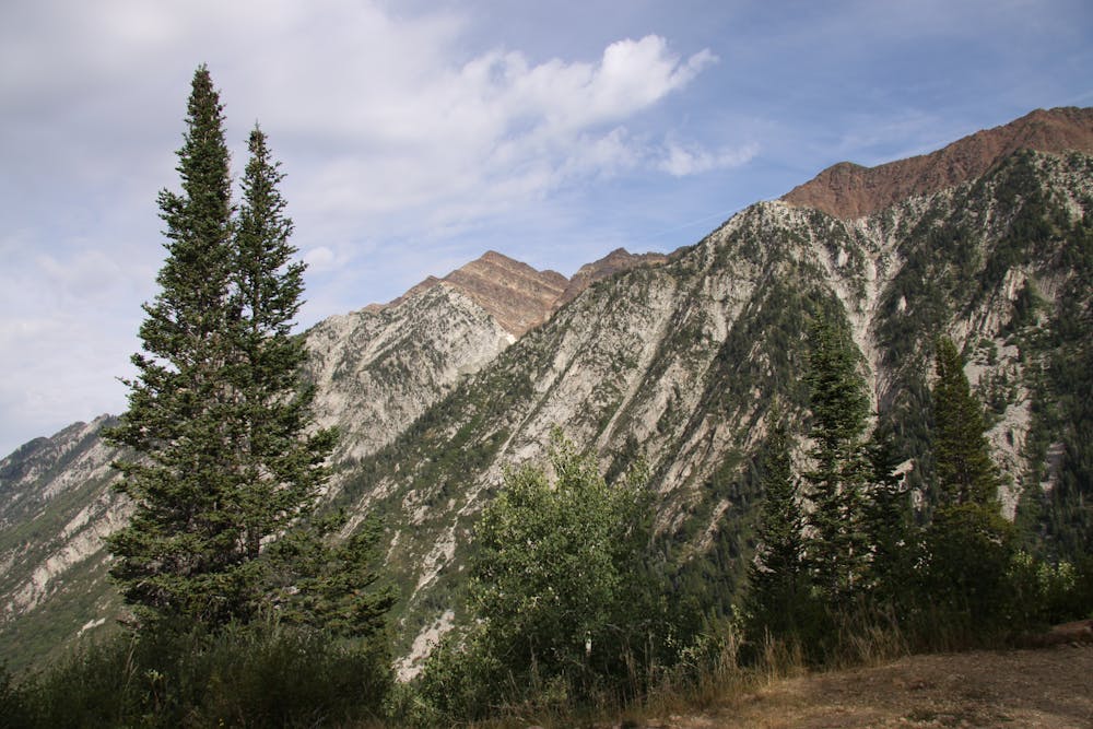
The road comes to an intersection with the stream and switches back. Follow the road and its switchbacks through the woods until it straightens out further up in the canyon.
Here you'll be surrounded by the massive Red Stack and White Baldy peaks. Continue on the road in the direction of White Baldy until you reach White Pine lake high up in the alpine valley.
Moderate
Hiking along trails with some uneven terrain and small hills. Small rocks and roots may be present.
35 m away
This is a strenuous, but classic hike that contains a mix of shaded forrest and high alpine environments.
Extreme Hiking
4.1 km away
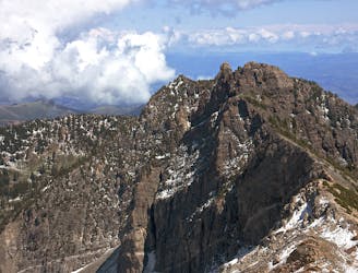
The most iconic and well-known peak in the Wasatch Mountains.
Severe Hiking
5.8 km away

A fun ridgeline traverse over Devils Castle to Sunset Peak at Alta Ski Area.
Extreme Hiking
5.8 km away
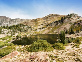
A short and family-friendly hike to a beautiful alpine lake
Moderate Hiking
5.8 km away
Hiking Devil's Castle is a difficult scramble on an iconic Wasatch peak high above Alta ski area.
Extreme Hiking
5.8 km away
Sugarloaf is a simple and relatively easy hike to the top of one of the Wasatch mountains 11,000 foot peaks.
Moderate Hiking
7.3 km away
This is a moderate hike that gains access to one of the most scenic lakes in the Wasatch.
Difficult Hiking
7.3 km away
The mighty Twin Peaks are the most visible and prominent mountains in the Wasatch front.
Extreme Hiking
8 km away
This 7 mile out and back trail covers moderate ground as it climbs along the creek for 1,700 feet.
Moderate Hiking
8.2 km away
The Days Fork trail is a little over 7 miles round trip with some good elevation gain through a heavily wooded canyon that opens up into the Alpine as you gain the Little Cottonwood Ridge.
Difficult Hiking

10 routes · Hiking

10 routes · Hiking

10 routes · Alpine Climbing · Hiking