Cecret Lake Trail
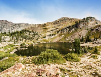
A short and family-friendly hike to a beautiful alpine lake
Moderate Hiking
- Distance
- 3.2 km
- Ascent
- 151 m
- Descent
- 151 m

Alta & Snowbird offers seriously deep powder snow, rugged terrain and spectacular scenery. Most of the area is perfect for intermediate abilities while more advanced can play in the powder.
Explore Alta & Snowbird with curated guides of the best hiking trails, ski routes, and more. With over 77 3D trail maps in FATMAP, you can easily discover and navigate the best trails in Alta & Snowbird.
No matter what your next adventure has in store, you can find a guide on FATMAP to help you plan your next epic trip.
Get a top trail recommendation in Alta & Snowbird from one of our 5 guidebooks, or get inspired by the 77 local adventures uploaded by the FATMAP community. Start exploring now!


A short and family-friendly hike to a beautiful alpine lake
Moderate Hiking
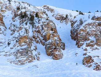
Early or late season uphill access at Alta, taking Collins Gulch toward Mount Baldy.
Moderate Resort Ski Touring

The typical uphill access at Alta, used for inbounds and backcountry terrain.
Easy Resort Ski Touring

A fun ridgeline traverse over Devils Castle to Sunset Peak at Alta Ski Area.
Extreme Hiking
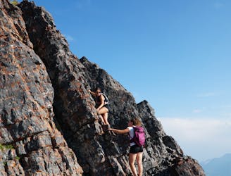
A fun ridgeline traverse over Devils Castle to Sunset Peak at Alta Ski Area.
Moderate Alpine Climbing
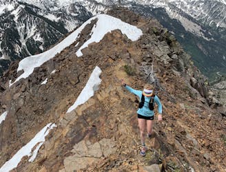
A fun and spicy ridgeline scramble to the top of Mount Superior, Little Cottonwood Canyon
Difficult Alpine Climbing
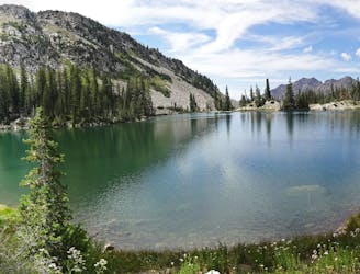
This is a strenuous but classic route that contains a mix of shaded forrest and high alpine environments.
Severe Trail Running
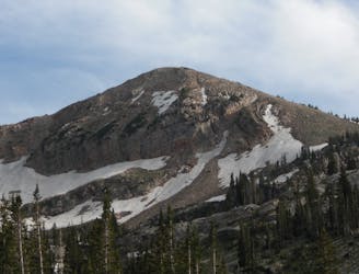
Sugarloaf is a simple and relatively easy hike to the top of one of the Wasatch mountains 11,000 foot peaks.
Moderate Hiking
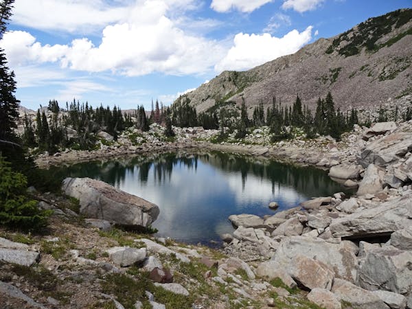
10 routes · Hiking
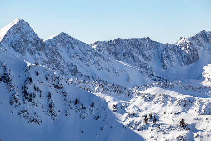
18 routes · Resort Ski Touring · Ski Touring
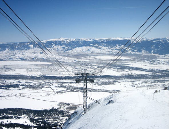
8 routes · Freeride Skiing · Ski Touring
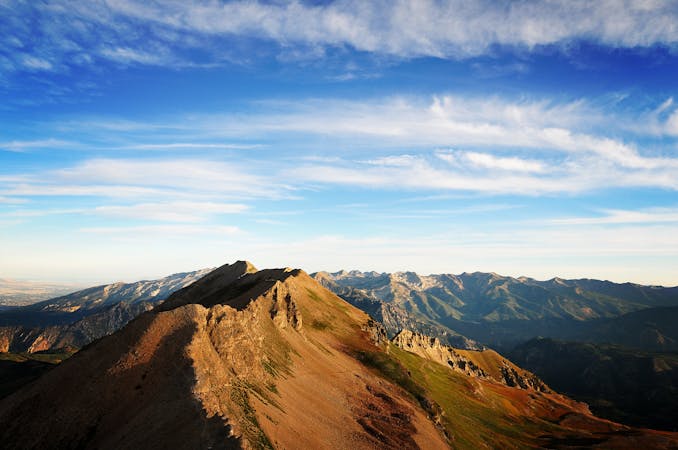
10 routes · Alpine Climbing · Hiking
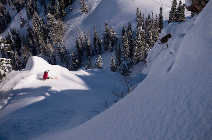
9 routes · Resort Ski Touring · Ski Touring