9.8 km away
The WURL

The complete outline of the WURL - Wasatch Ultimate Ridge Linkup.
Extreme Trail Running
- Distance
- 51 km
- Ascent
- 5.6 km
- Descent
- 5.6 km
This is a strenuous but classic route that contains a mix of shaded forrest and high alpine environments.
Trail Running Severe

This is a 9-mile round trip run through the heart of the Wasatch mountains. The pinnacle of the outing is the summit of the mighty Pfeifferhorn peak with almost 4,000 feet of elevation gain.
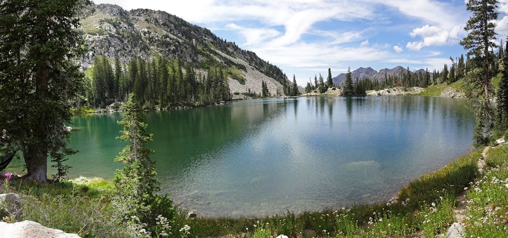
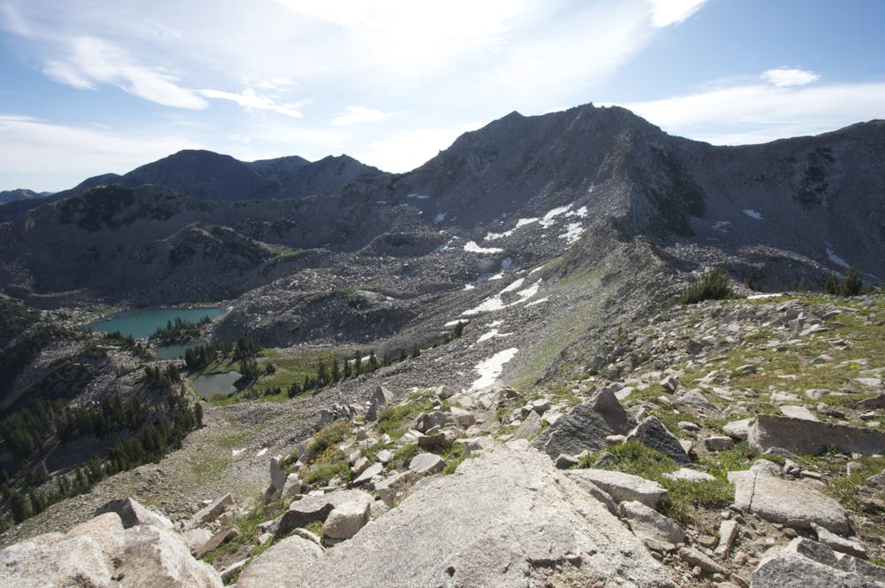
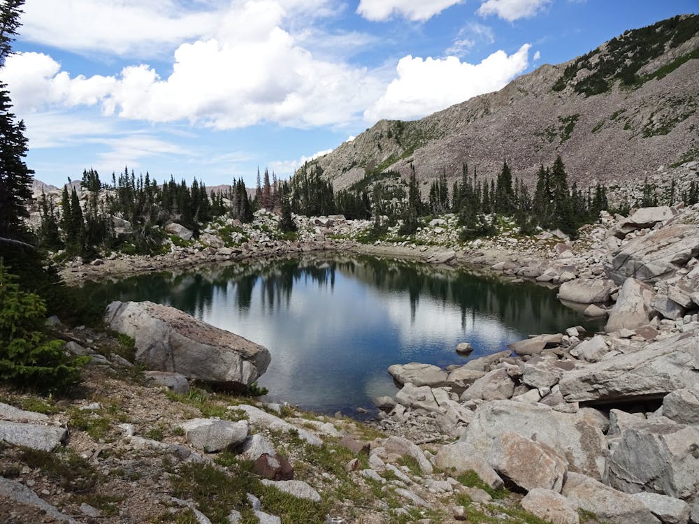
The route has it all with wooded and shady old road grades and singletrack trail through the upper alpine. There are some gorgeous lakes to enjoy along the way and fantastic views of the city from the top of the summit. It's well-marked but there are a few exposed sections where you'll need to focus as you scramble along a rocky ridge before reaching the final summit push.
Severe

Some trail sections have exposed ledges or steep ascents/descents where falling could cause serious injury.

In the high mountains or remote conditions, all individuals must be completely autonomous in every situation.
9.8 km away
The complete outline of the WURL - Wasatch Ultimate Ridge Linkup.
Extreme Trail Running