980 m away
Alta Collins Uphill
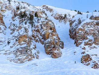
Early or late season uphill access at Alta, taking Collins Gulch toward Mount Baldy.
Moderate Resort Ski Touring
- Distance
- 2.3 km
- Ascent
- 563 m
- Descent
- 0 m
The typical uphill access at Alta, used for inbounds and backcountry terrain.
Resort Ski Touring Easy

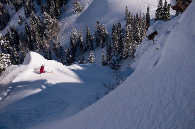
Alta does not typically allow uphill access during the operating season, but the exception is Summer Road, which is outside the main resort area. It can be used to ski some inbounds terrain that's hard to reach by lifts, and also to reach popular backcountry zones.
The road starts where State Road 210 ends at Alta resort. The first part of the road is generally groomed, turning into well-packed ski tracks the higher you go. Dropping anywhere from the road puts you into the resort, and skinning up anything to the north puts you in unpatrolled terrain. The road ends at Catherine's Pass in between Alta and Brighton. More backcountry zones can be reached from there, but it's most common for skiers to return through Alta to the car.
Summer Road can close periodically for avalanche control or other reasons. You can check for updates on Alta's Uphill Travel webpage.
Easy

Away from help but easily accessed.
980 m away
Early or late season uphill access at Alta, taking Collins Gulch toward Mount Baldy.
Moderate Resort Ski Touring
3.9 km away

Inbounds uphill route at Brighton Resort, with option to exit through a backcountry gate.
Moderate Resort Ski Touring

18 routes · Resort Ski Touring · Ski Touring
9 routes · Resort Ski Touring · Ski Touring