980 m away
Alta Summer Road

The typical uphill access at Alta, used for inbounds and backcountry terrain.
Easy Resort Ski Touring
- Distance
- 5.4 km
- Ascent
- 548 m
- Descent
- 28 m
Early or late season uphill access at Alta, taking Collins Gulch toward Mount Baldy.
Resort Ski Touring Moderate

Alta does not allow inbounds uphill travel during the operating season, but access is normally allowed in early and late season. During those times the resort is not patrolled, however, and should be treated as backcountry terrain.
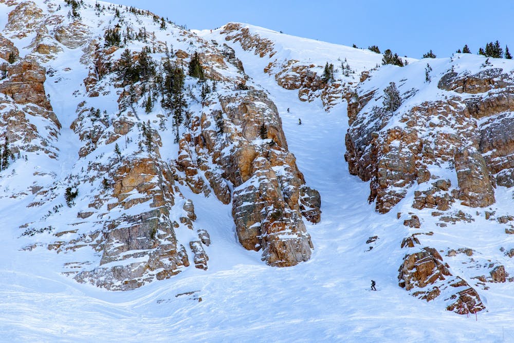
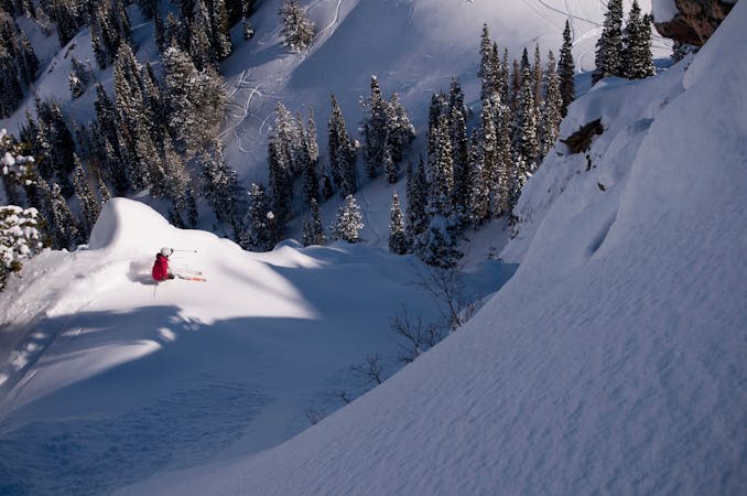
When the resort isn't open, Alta makes a local favorite destination for ski touring. Here at the head of Little Cottonwood Canyon, early-season storms can be frequent and deep, sometimes filling in steep lines that are normally off-limits during the winter. Then in the spring after the resort has closed, sheltered aspects can hold snow for a while, even long enough to find some summer turns.
Be sure to check Alta's uphill travel page for current status before you go. Even when uphill travel is open, certain areas may remain closed. The route mapped here is one possibility for skinning up to Germania Pass on Mount Baldy. From there you could ski back down Collins Gulch, cross over into Albion Basin, or even continue toward the top of Baldy and the chutes.
Moderate

Close to help in case of emergency.
980 m away
The typical uphill access at Alta, used for inbounds and backcountry terrain.
Easy Resort Ski Touring
4.9 km away

Inbounds uphill route at Brighton Resort, with option to exit through a backcountry gate.
Moderate Resort Ski Touring

18 routes · Resort Ski Touring · Ski Touring
9 routes · Resort Ski Touring · Ski Touring