1.8 km away
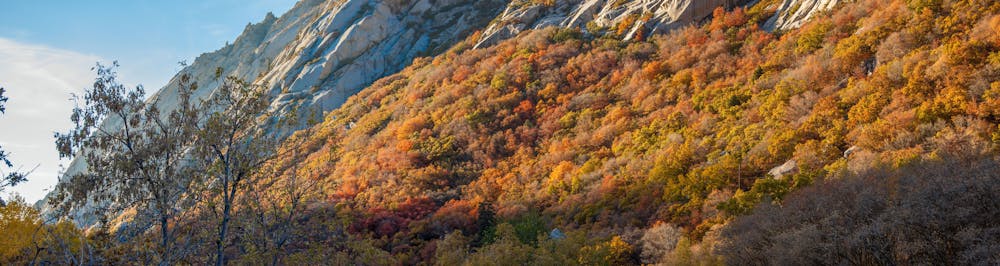
Bell Canyon
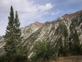
Bells Canyon is a very steep, long trail that takes you past beautiful waterfalls and into the rugged heart of the Wasatch Mountains.
Difficult Hiking
- Distance
- 15 km
- Ascent
- 1.3 km
- Descent
- 1.3 km
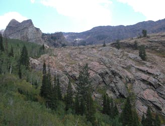
This 7 mile out and back trail covers moderate ground as it climbs along the creek for 1,700 feet.
Hiking Moderate

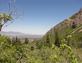
The Little Cottonwood trail is a moderate 7 miles of rocky road that runs along the creek through some nice, shady woods. From the parking lot, it follows some open doubletrack that then turns into a rocky old jeep road. There are several stream crossings using well-built bridges. This trail sees a ton of traffic, including mountain bikes, so stay alert for the downhill traffic.
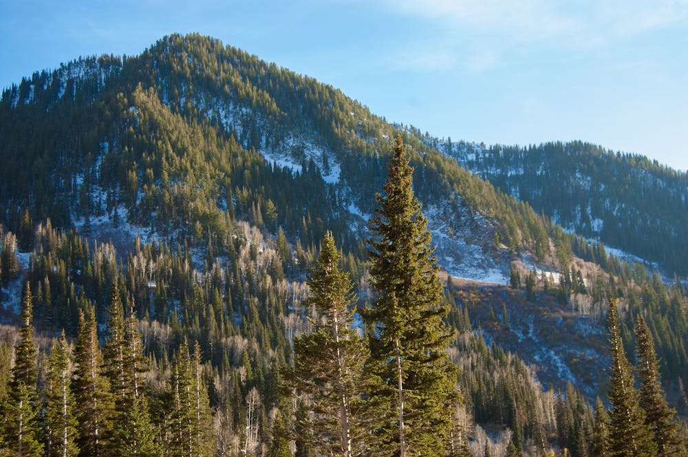
The trailhead is at the base of the Little Cottonwood Canyon on the south side of the road. Follow the trail to the east as it heads up canyon along a dirt road.
The road hits a short section of pavement as it works through the Wasatch Estates neighborhood. Stay left and then take the first right towards the large water treatment plant. Just left of this is a gate. Go through the gate and you'll be back on the dirt trail.
This is a well-traveled and well-beaten path that maintains a nice steady grade for the entire 7 miles until it terminates at a small opening right on the river. There is a cool old mining structure across the creek.
Moderate
Hiking along trails with some uneven terrain and small hills. Small rocks and roots may be present.
1.8 km away
Bells Canyon is a very steep, long trail that takes you past beautiful waterfalls and into the rugged heart of the Wasatch Mountains.
Difficult Hiking
4.2 km away
The Ferguson Canyon hike is a quick way to get out and away from the city.
Difficult Hiking
7.4 km away
Short and easy hike right out of the valley. Great place to walk the dog, or enjoy the waterfall that's in existence through the spring and early summer.
Moderate Hiking
8 km away
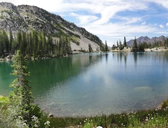
White Pine trail is a classic moderate hike that follows an old jeep road high up into the central Wasatch to enjoy a quiet pristine lake in the rugged alpine landscape
Moderate Hiking
8 km away
The mighty Twin Peaks are the most visible and prominent mountains in the Wasatch front.
Extreme Hiking
8 km away
This is a moderate hike that gains access to one of the most scenic lakes in the Wasatch.
Difficult Hiking
8 km away
This is a strenuous, but classic hike that contains a mix of shaded forrest and high alpine environments.
Extreme Hiking
9.1 km away
Mount Olympus is one of the most visible and well known peaks along the Wasatch Front.
Extreme Hiking
9.4 km away
The effort on this unique and worthwhile hike puts you on top of one of the tallest and most dramatic peaks in the Wasatch Range.
Extreme Hiking

10 routes · Hiking

10 routes · Hiking

10 routes · Alpine Climbing · Hiking