8.8 km away
Bell Canyon
Bells Canyon is a very steep, long trail that takes you past beautiful waterfalls and into the rugged heart of the Wasatch Mountains.
Difficult Hiking
- Distance
- 15 km
- Ascent
- 1.3 km
- Descent
- 1.3 km
The effort on this unique and worthwhile hike puts you on top of one of the tallest and most dramatic peaks in the Wasatch Range.
Hiking Extreme
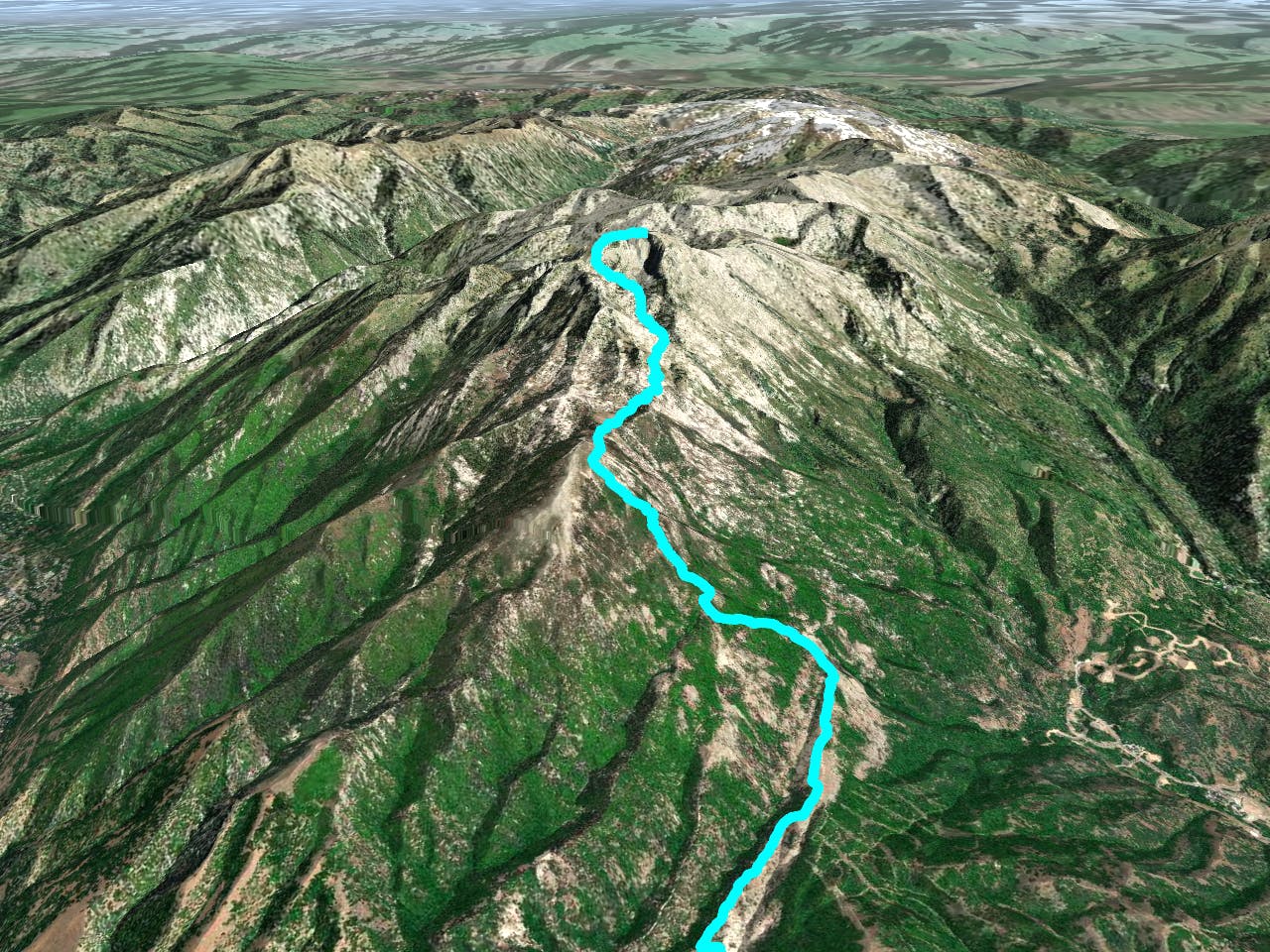
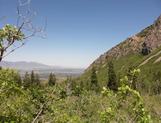
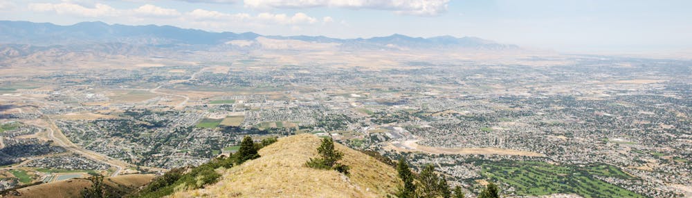
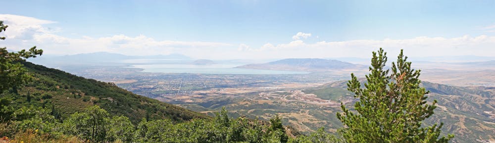
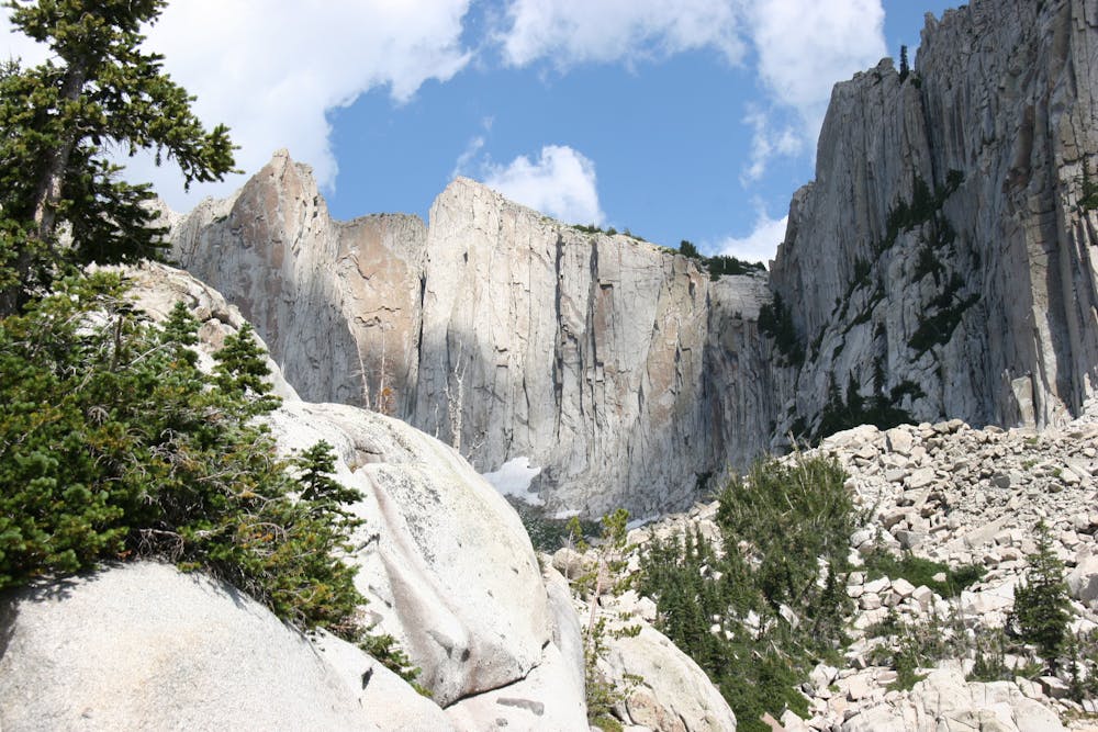
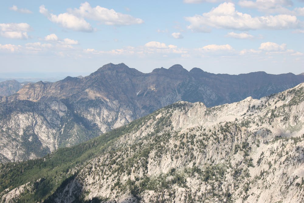
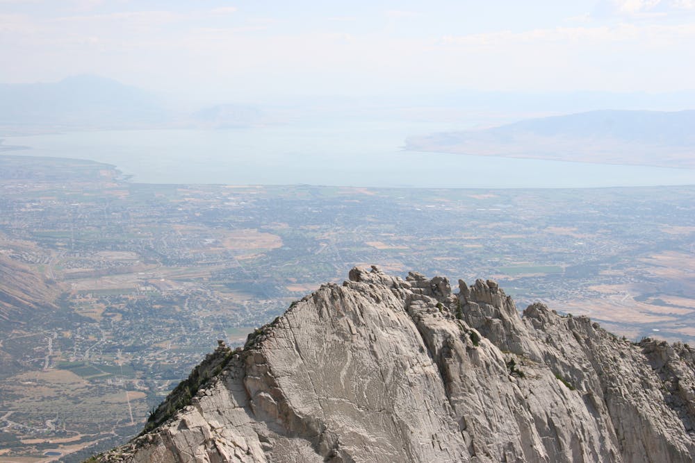
Hiking Lone Peak offers some of the most incredible views of the Salt Lake Valley, but you'll have to earn it. The trail is long at almost 12 miles round trip and the elevation gain is well over 5,000 feet. The trip starts in the brushy foothills of Draper and climbs steeply up onto a ridge that leads into the rocky and rugged alpine environment. Route finding is easy down low, but becomes tricky as you leave the well trod dirt paths and enter the rocky terrain. Follow the cairns and stay to the south of the giant cirque. There can be snow on the north face making summit access tricky without crampons until later in the season when the snow melts out. There is a short scramble to the summit that leaves you standing and staring right down the vertical walls of the cirque and out over the Salt Lake Valley.
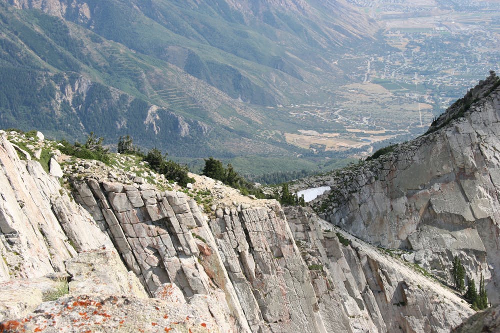
Extreme
Scrambling up mountains and along technical trails with moderate fall exposure. Handholds are necessary to navigate the trail in its entirety, although they are not necessary at all times. Some obstacles can be very large and difficult to navigate, and the grades can often be near-vertical. The challenge of the trail and the steepness of the grade results in very strenuous hiking. Hikes of this difficulty blur the lines between "hiking" and "climbing".
8.8 km away
Bells Canyon is a very steep, long trail that takes you past beautiful waterfalls and into the rugged heart of the Wasatch Mountains.
Difficult Hiking
9.4 km away
This 7 mile out and back trail covers moderate ground as it climbs along the creek for 1,700 feet.
Moderate Hiking

10 routes · Hiking

10 routes · Hiking

10 routes · Alpine Climbing · Hiking