1 m away
Sugarloaf
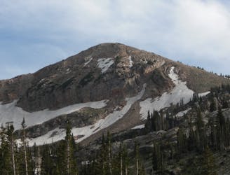
Sugarloaf is a simple and relatively easy hike to the top of one of the Wasatch mountains 11,000 foot peaks.
Moderate Hiking
- Distance
- 5.8 km
- Ascent
- 503 m
- Descent
- 503 m

Hiking Devil's Castle is a difficult scramble on an iconic Wasatch peak high above Alta ski area.
Hiking Extreme

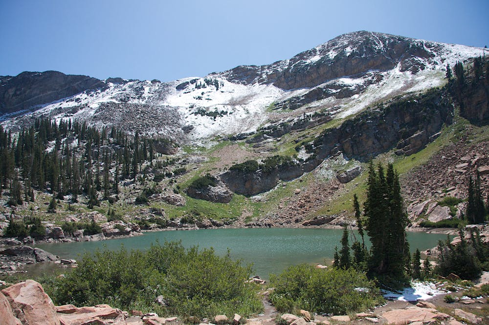
Devil's Castle is a 3.7-mile expert hike that passes Cecret Lake and then gains the ridge after 1,500 feet of climbing. The trail is pretty well marked, but turns into steep and exposed scrambling with some spectacular views from the summit.
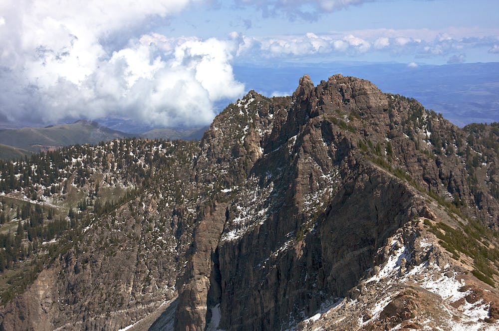
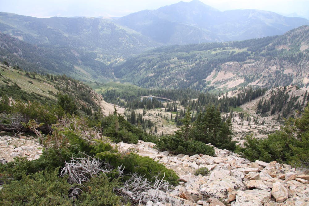
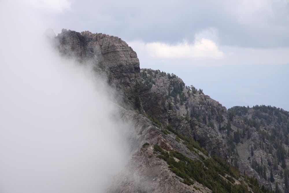
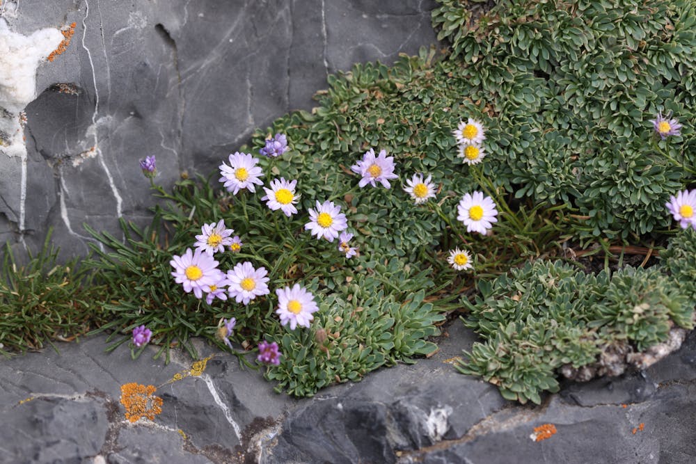
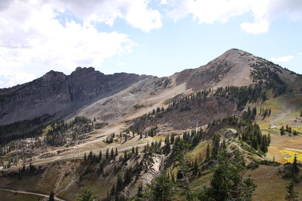
Making this into a loop can be a good idea instead of back tracking through the difficult exposed rock. The trail continues along the ridge and then drops back down into the Albion Basin and returns to the trailhead.
To get to the trailhead, drive up to the top of Little Cottonwood Canyon and follow the dirt road up to Albion Basin and park in the designated parking lot. From here take the trail to Cecret Lake, which follows a well marked and well-traveled trail.
From the lake take the east side of the lake and follow a faint trail that switches back and forth for almost 1000 feet to the saddle between Sugarloaf and the Devil's Castle. Take the left trail (east) and follow it along the ridge until it peters out onto the rocky ridge.
Stay on the ridge where possible, and when forced off of it climb back up onto it.
The westernmost summit is a fine place to finish for those who don't enjoy exposure and steep scrambling. For those who want to continue do so carefully because the rock can be loose, but there are plenty of good hand holds and no rope is necessary to tag the other high points along the ridge.
Extreme
Scrambling up mountains and along technical trails with moderate fall exposure. Handholds are necessary to navigate the trail in its entirety, although they are not necessary at all times. Some obstacles can be very large and difficult to navigate, and the grades can often be near-vertical. The challenge of the trail and the steepness of the grade results in very strenuous hiking. Hikes of this difficulty blur the lines between "hiking" and "climbing".
1 m away

Sugarloaf is a simple and relatively easy hike to the top of one of the Wasatch mountains 11,000 foot peaks.
Moderate Hiking
17 m away
A short and family-friendly hike to a beautiful alpine lake
Moderate Hiking
18 m away

A fun ridgeline traverse over Devils Castle to Sunset Peak at Alta Ski Area.
Extreme Hiking
2.4 km away
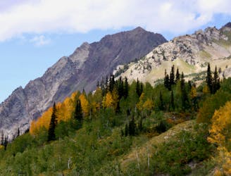
The most iconic and well-known peak in the Wasatch Mountains.
Severe Hiking
3.4 km away
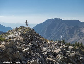
A mixed scramble, hike, and trail running loop in Big Cottonwood Canyon featuring Brighton Resort's Major Peaks
Extreme Hiking
5.8 km away
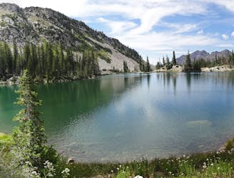
This is a strenuous, but classic hike that contains a mix of shaded forrest and high alpine environments.
Extreme Hiking
5.8 km away
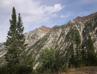
White Pine trail is a classic moderate hike that follows an old jeep road high up into the central Wasatch to enjoy a quiet pristine lake in the rugged alpine landscape
Moderate Hiking
7.5 km away
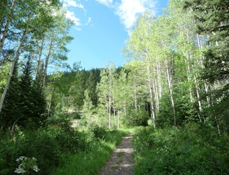
The Days Fork trail is a little over 7 miles round trip with some good elevation gain through a heavily wooded canyon that opens up into the Alpine as you gain the Little Cottonwood Ridge.
Difficult Hiking
8.5 km away
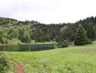
This is a lovely moderate hike through some large aspen groves reaching a quiet little lake.
Moderate Hiking
8.5 km away
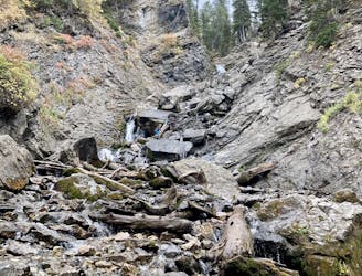
Scenic hike to a small waterfall in a narrow canyon.
Moderate Hiking
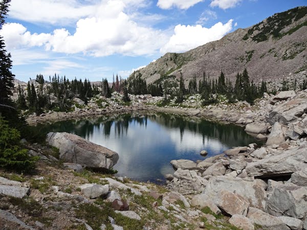
10 routes · Hiking
10 routes · Hiking
10 routes · Alpine Climbing · Hiking