3.4 km away
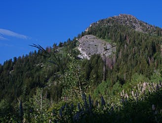
Sugarloaf
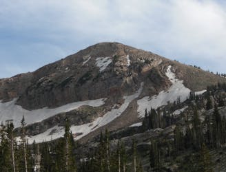
Sugarloaf is a simple and relatively easy hike to the top of one of the Wasatch mountains 11,000 foot peaks.
Moderate Hiking
- Distance
- 5.8 km
- Ascent
- 503 m
- Descent
- 503 m
A mixed scramble, hike, and trail running loop in Big Cottonwood Canyon featuring Brighton Resort's Major Peaks
Hiking Extreme

Note: this route warrants a "Moderate" Mountaineering difficulty rating.
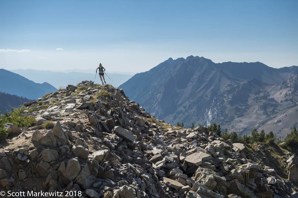
Start at the base of the Millicent Chairlift at Brighton Resort and make your way up the service road to the top of the lift. From the top of the chairlift, head towards Mount Millicent by scrambling through scree-fields and rock fields until reaching the summit.
Next descend towards Mount Wolverine and cross the large field/sidehill and hop on the ridgeline. Here there is the option to go up to summit Wolverine.
From the ridgeline, head to the summit of Mount Tuscarora and then over to Catherines Pass/ Rocky Point area. Here there is a large trail intersection with multiple options. Take either Option 1 and descend to the Brighton base area via the well-trafficked Brighton Lake Mary/Lake Catherine Trail, or take Option 2 and head over to sunset peak, or take option 3 and drop into Alta Ski Area via Catherine's pass to Little Cottonwood.
If you continue straight toward Sunset Peak (Option 2), you will hike up a sandy trail towards Sunset Peak. After reaching Sunset Peak, head back the way you came. Once you hit the trail intersection in Catherines again, head down towards Lake Catherine and then down the well-trafficked trail to the base of Brighton Resort.
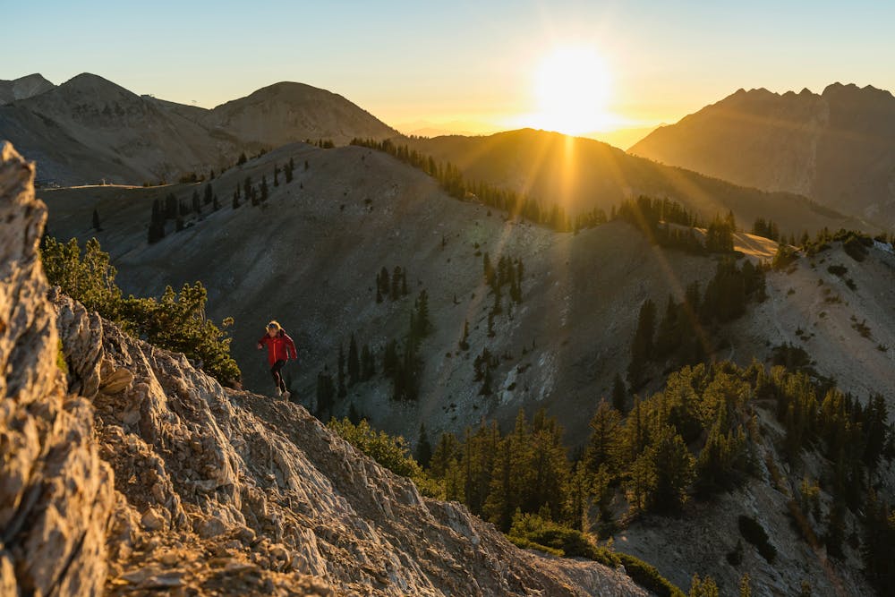
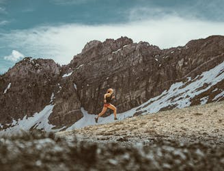
Extreme
Scrambling up mountains and along technical trails with moderate fall exposure. Handholds are necessary to navigate the trail in its entirety, although they are not necessary at all times. Some obstacles can be very large and difficult to navigate, and the grades can often be near-vertical. The challenge of the trail and the steepness of the grade results in very strenuous hiking. Hikes of this difficulty blur the lines between "hiking" and "climbing".

Some trail sections have exposed ledges or steep ascents/descents where falling could cause serious injury.

Away from help but easily accessed.
3.4 km away
Sugarloaf is a simple and relatively easy hike to the top of one of the Wasatch mountains 11,000 foot peaks.
Moderate Hiking
3.4 km away
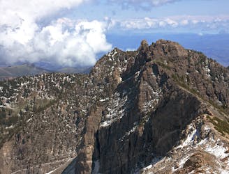
Hiking Devil's Castle is a difficult scramble on an iconic Wasatch peak high above Alta ski area.
Extreme Hiking
3.4 km away
A fun ridgeline traverse over Devils Castle to Sunset Peak at Alta Ski Area.
Extreme Hiking
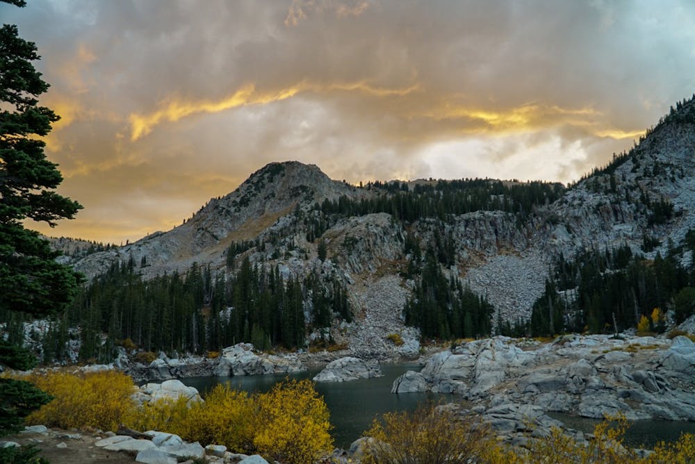
3.4 km away
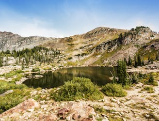
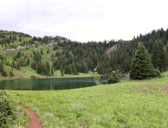
A short and family-friendly hike to a beautiful alpine lake
Moderate Hiking
4.4 km away
The most iconic and well-known peak in the Wasatch Mountains.
Severe Hiking
6.5 km away
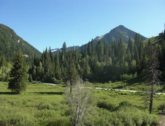
The Days Fork trail is a little over 7 miles round trip with some good elevation gain through a heavily wooded canyon that opens up into the Alpine as you gain the Little Cottonwood Ridge.
Difficult Hiking
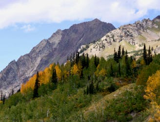
7.7 km away
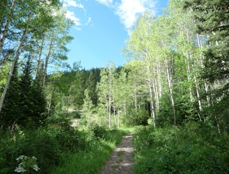
This is a lovely moderate hike through some large aspen groves reaching a quiet little lake.
Moderate Hiking
7.7 km away
This is an easy hike up an old road grade through a beautiful drainage lined by rugged alpine peaks.
Moderate Hiking
7.7 km away
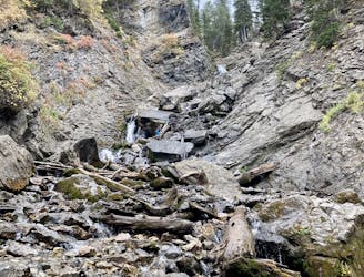
Scenic hike to a small waterfall in a narrow canyon.
Moderate Hiking
7.7 km away
A very steep hike to one of the most prominent peaks in Big Cottonwood Canyon
Extreme Hiking

10 routes · Hiking

10 routes · Hiking

10 routes · Alpine Climbing · Hiking