9.5 km away
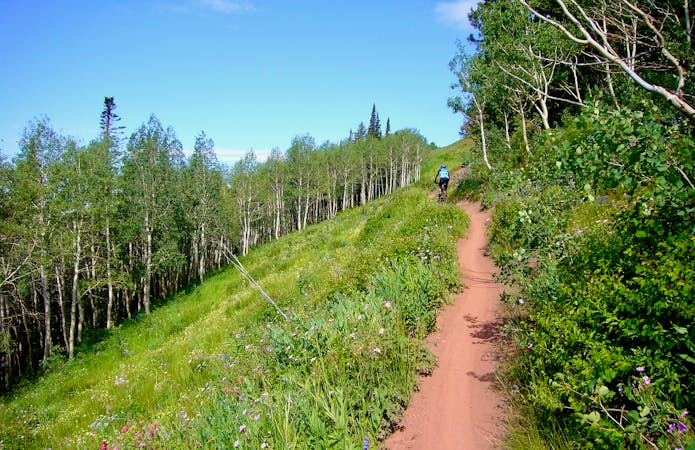
Corner Canyon Big Loop
The premiere mountain bike trail system accessible from the valley floor.
Difficult Mountain Biking
- Distance
- 25 km
- Ascent
- 752 m
- Descent
- 752 m
A short roadside trail that follows the lower portion of the creek in Little Cottonwood Canyon
Mountain Biking Difficult

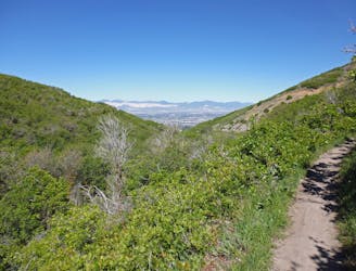
This is a fun little 7.1 mile out and back that follows an old jeep road along the river for almost 1,500 feet of climbing. The trail is very well traveled, sees tons of traffic, and is easy to navigate. There are some rocky steep sections that might challenge mid-level riders. The river and shade keep the temperatures cool.
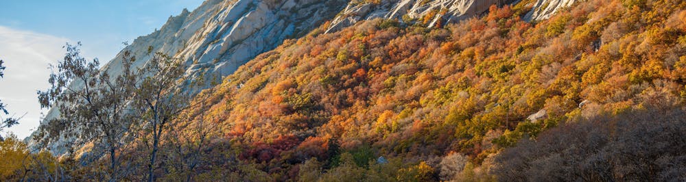
This trail can also make for a fun, short downhill by either car shuttle, or pedaling up the paved canyon road and dropping back onto the dirt.
Park at the designated trailhead at the mouth of Little Cottonwood Canyon. Head up canyon to the east and you'll be on the lower section of the trail. This continues for half a mile or so and pops out onto some paved roads for the small community of homes.
Stay to your left (north) and follow the pavement towards the large water treatment area. You'll pass through a gate and back onto the dirt road.
Continue on from here—the trail is well marked and continues along the creek until you reach a shady turnaround right next to the creek. Turn around here and descend.
Difficult
Mostly stable trail tread with some variability featuring larger and more unavoidable obstacles that may include, but not be limited to: bigger stones, roots, steps, and narrow curves. Compared to lower intermediate, technical difficulty is more advanced and grades of slopes are steeper. Ideal for upper intermediate riders.
9.5 km away
The premiere mountain bike trail system accessible from the valley floor.
Difficult Mountain Biking
5 routes · Mountain Biking