5.1 km away
Porcupine Rim
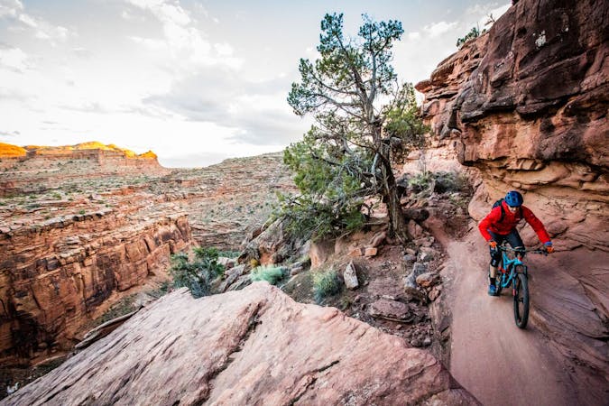
Porcupine Rim is a Moab classic in the true sense of the word. Mountain bikers have been braving Porcupine Rim's gnar since at least the 1980s.
Extreme Mountain Biking
- Distance
- 23 km
- Ascent
- 387 m
- Descent
- 953 m
A new, flowy, intermediate-friendly romp filled with swoopy singletrack and mellow rock slabs.
Mountain Biking Difficult

The Eagle Eye, Hawk's Glide, and Falcon Flow trails are the newest significant addition to the Moab mountain bike trail network and together are known as the "Raptor Route." The Raptor Route serves as a new finish to the iconic Whole Enchilada route. The Raptor Route comprises 10 miles of all-new singletrack descending into the Sand Flats Recreation Area.
The first stage to open was Falcon Flow, the longest of the three. The second stage was Eagle Eye, located at the top of the route. The third stage, Hawk's Glide, connects the previous two sections together, creating an almost continuous singletrack descent with just one short connection on the dirt road.
While the goal of the Raptor Route is to give rides an easier way to finish the grueling Whole Enchilada route, even on its own, the Raptor Route is a fantastic mini-shuttle. You can easily shuttle to the top of Eagle Eye using the Sand Flats Road or catch a commercial shuttle that will drop you just a bit higher up the mountain.
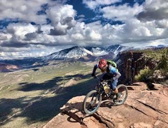
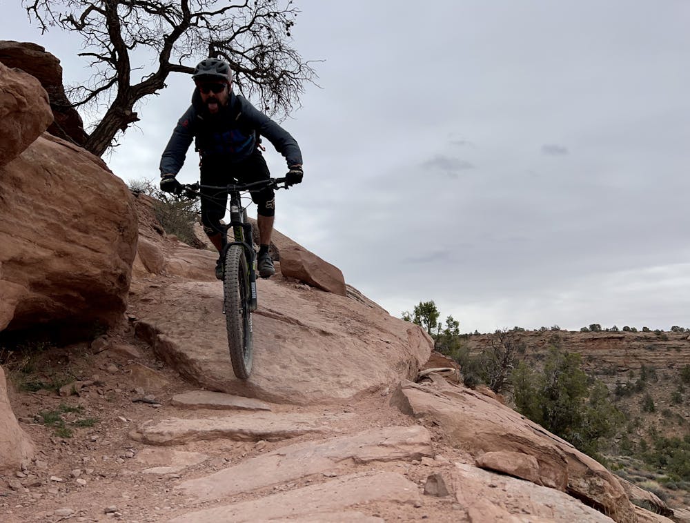
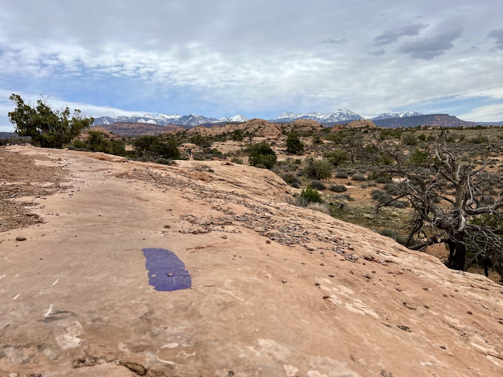
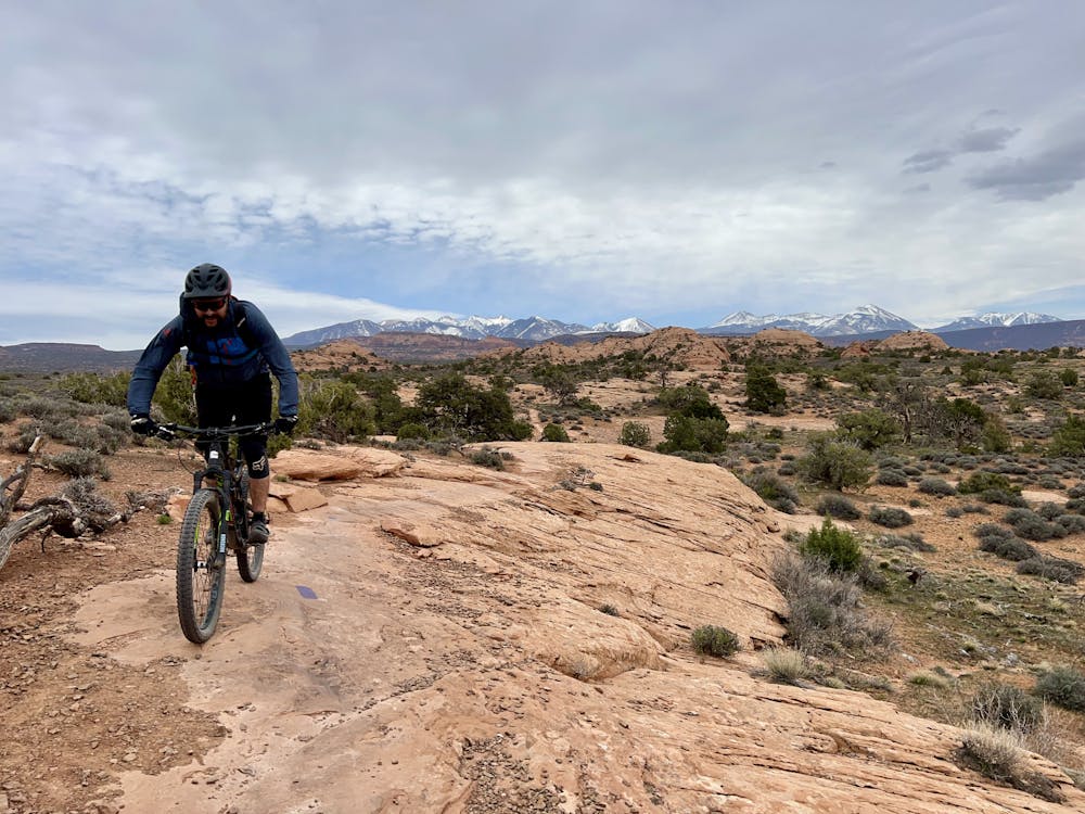
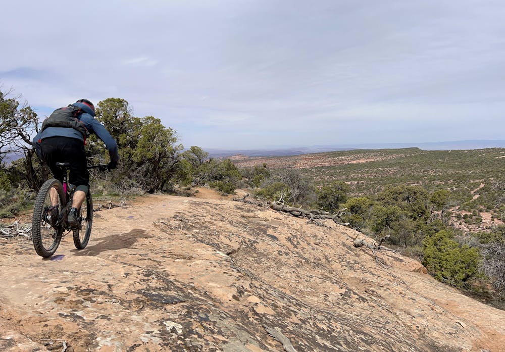
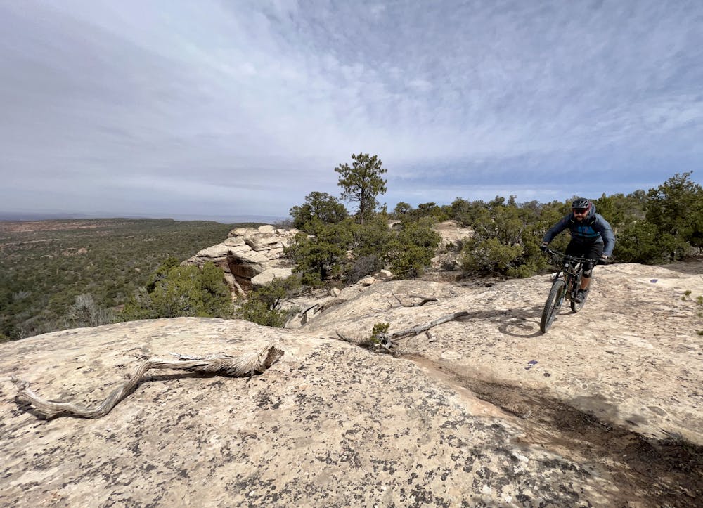
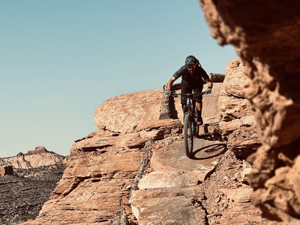
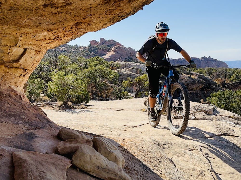
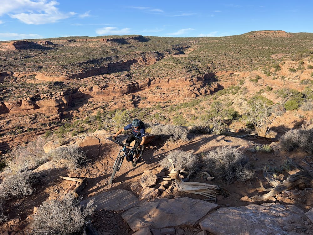
Upon dropping into Eagle Eye, you'll roll straight into sinuous singletrack swooping along the mountainside, funneling into Moab's iconic slickrock slabs. Short, steep rock rolls abound, and if you keep your eyes peeled, you'll even spot a few huckortunities along the way.
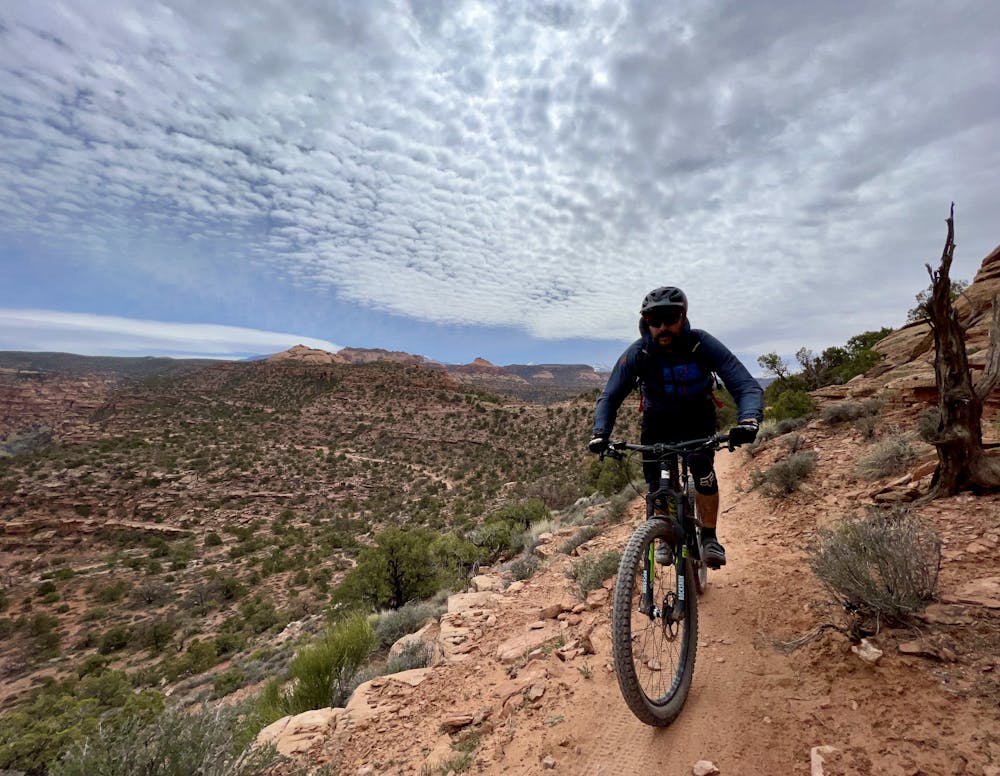
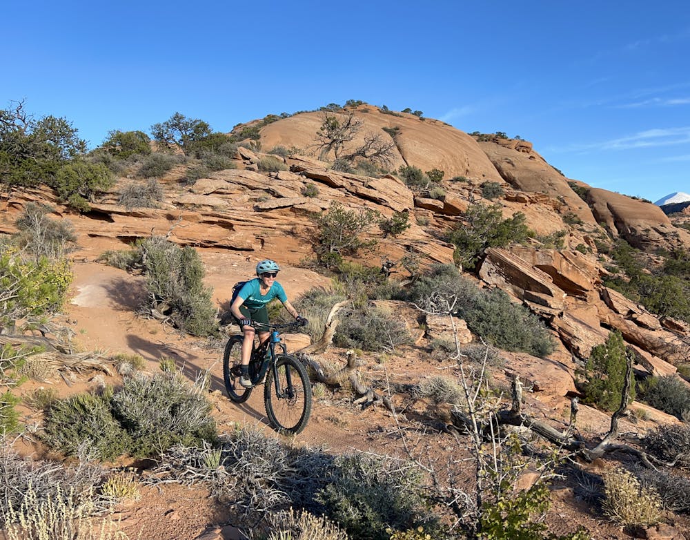
The trail character on Hawk's Glide is quite similar to what came before. According to UtahMountainbiking.com, "Hawk's Glide is 2.0 miles long, with 700 vertical feet of descending and almost no climbing. It runs along the ridgeline between Sand Flats Road and the Porcupine Rim trail." From this ridge, you can expect to enjoy more fantastic views that make it difficult to focus on the trail in front of your tire!
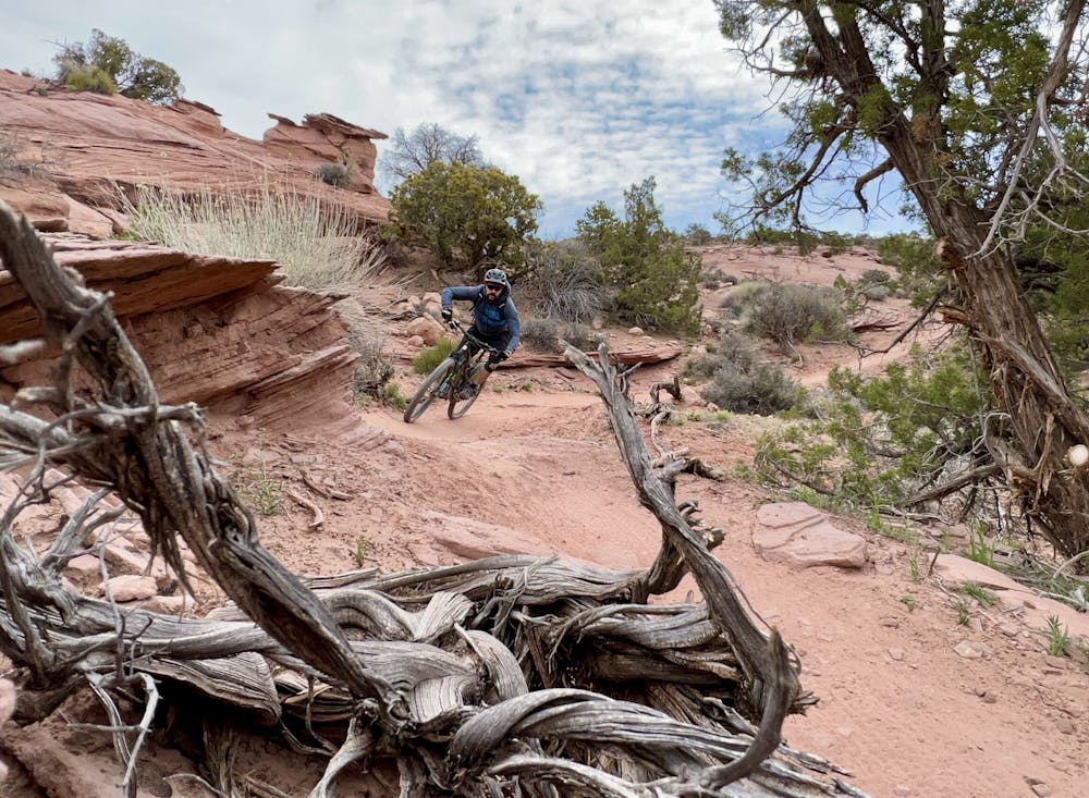
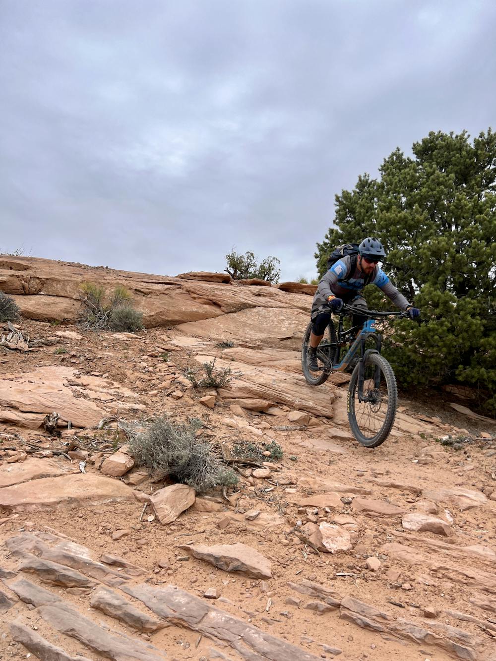
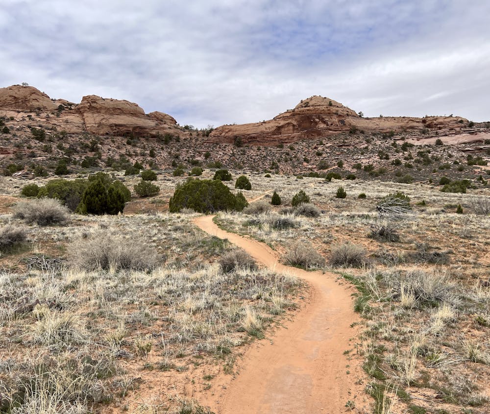
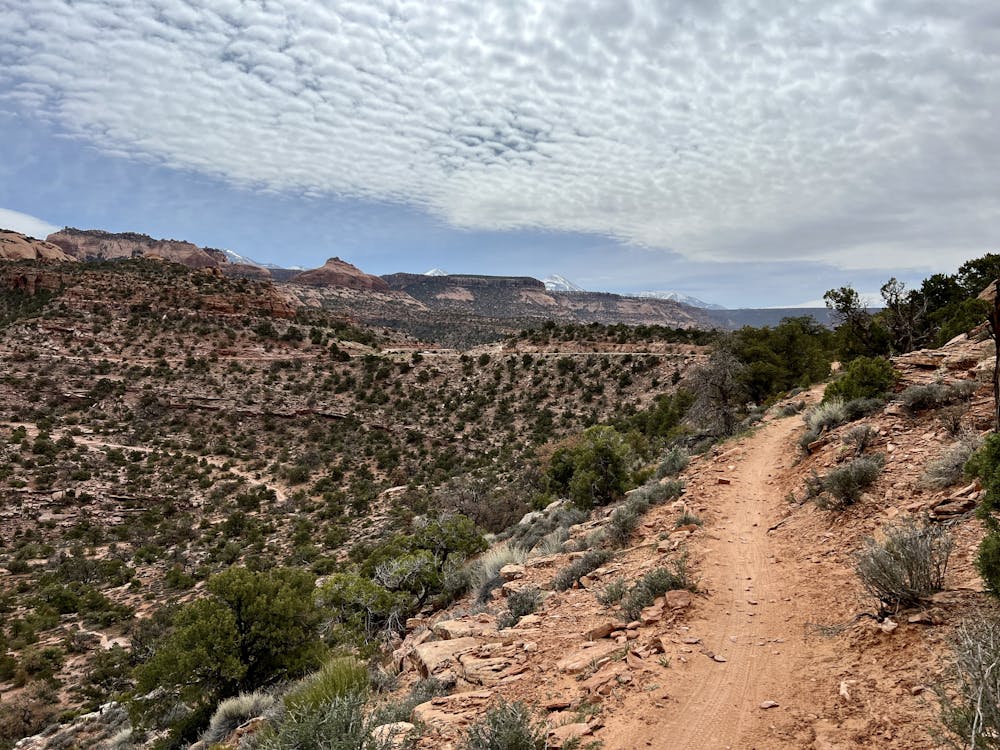
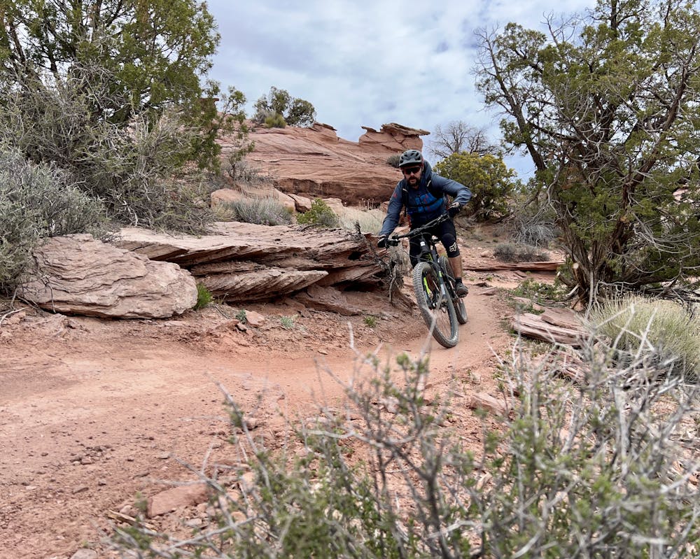
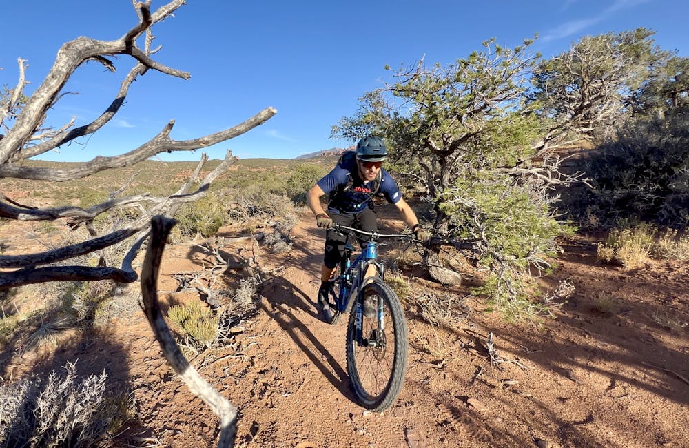
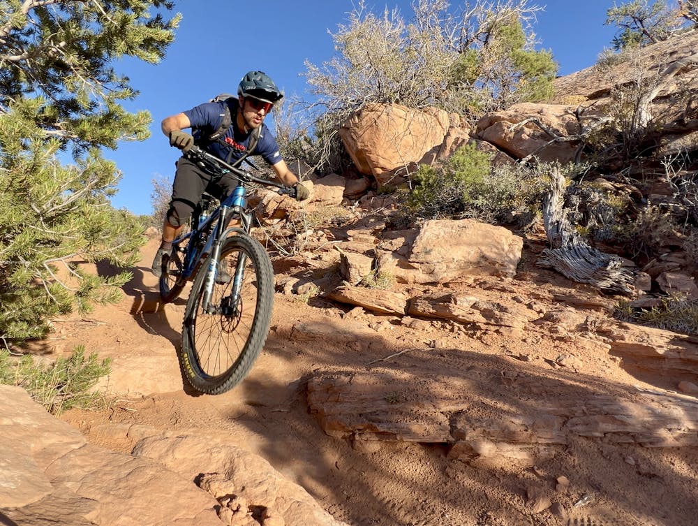
Once onto Falcon Flow, the swoopiness gets cranked up to 11! Moab's version of a flow trail doesn't have berms or jumps, but the artfully-crafted trail tread does indeed swoop and flow down the mountainside. Even when a few short climbs punctuate the flow, they are over quickly. The trail transitions through several zones, from exposed mountainside to pinon forest to grasslands, offering up breathtaking views the entire way.
This new addition to the Moab trail system is guaranteed to become a perennial crowd-pleaser!
Difficult
Mostly stable trail tread with some variability featuring larger and more unavoidable obstacles that may include, but not be limited to: bigger stones, roots, steps, and narrow curves. Compared to lower intermediate, technical difficulty is more advanced and grades of slopes are steeper. Ideal for upper intermediate riders.

The trail contains some obstacles such as outcroppings and rock which could cause injury.
Away from help but easily accessed.
5.1 km away
Porcupine Rim is a Moab classic in the true sense of the word. Mountain bikers have been braving Porcupine Rim's gnar since at least the 1980s.
Extreme Mountain Biking
20 routes · Mountain Biking

24 routes · Mountain Biking