5.1 km away
Raptor Route Shuttle
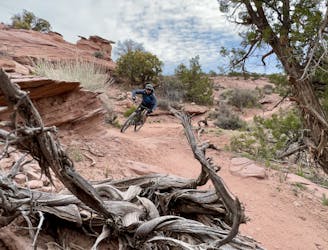
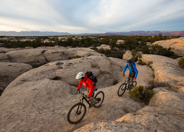
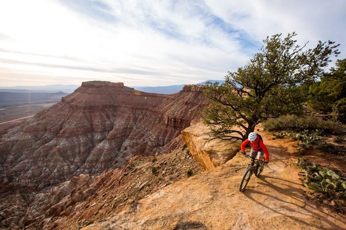
A new, flowy, intermediate-friendly romp filled with swoopy singletrack and mellow rock slabs.
Difficult Mountain Biking
- Distance
- 16 km
- Ascent
- 104 m
- Descent
- 766 m

Porcupine Rim is a Moab classic in the true sense of the word. Mountain bikers have been braving Porcupine Rim's gnar since at least the 1980s.
Mountain Biking Extreme

Porcupine Rim was originally a 4x4 route and as such, is a Moab classic. Along with nearby Slickrock and other 4x4 routes like Amasa Back, Porcupine Rim was one of the first trails that mountain bikers started riding in the 80s. Nowadays, most riders choose to ride Porcupine Rim as the final section of a shuttle run on The Whole Enchilada. That said, even if the higher sections of TWE are snowed in, odds are good that Porcupine Rim is still rideable.
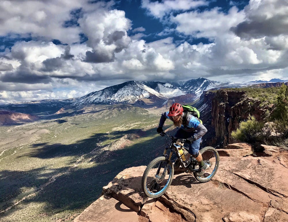
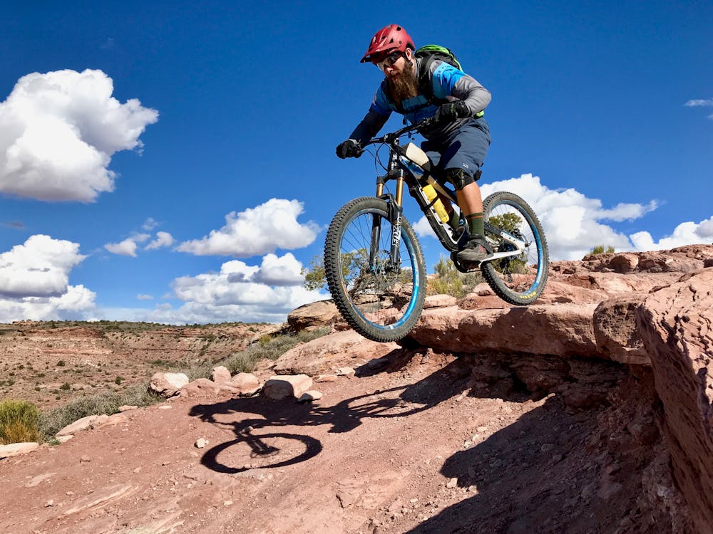
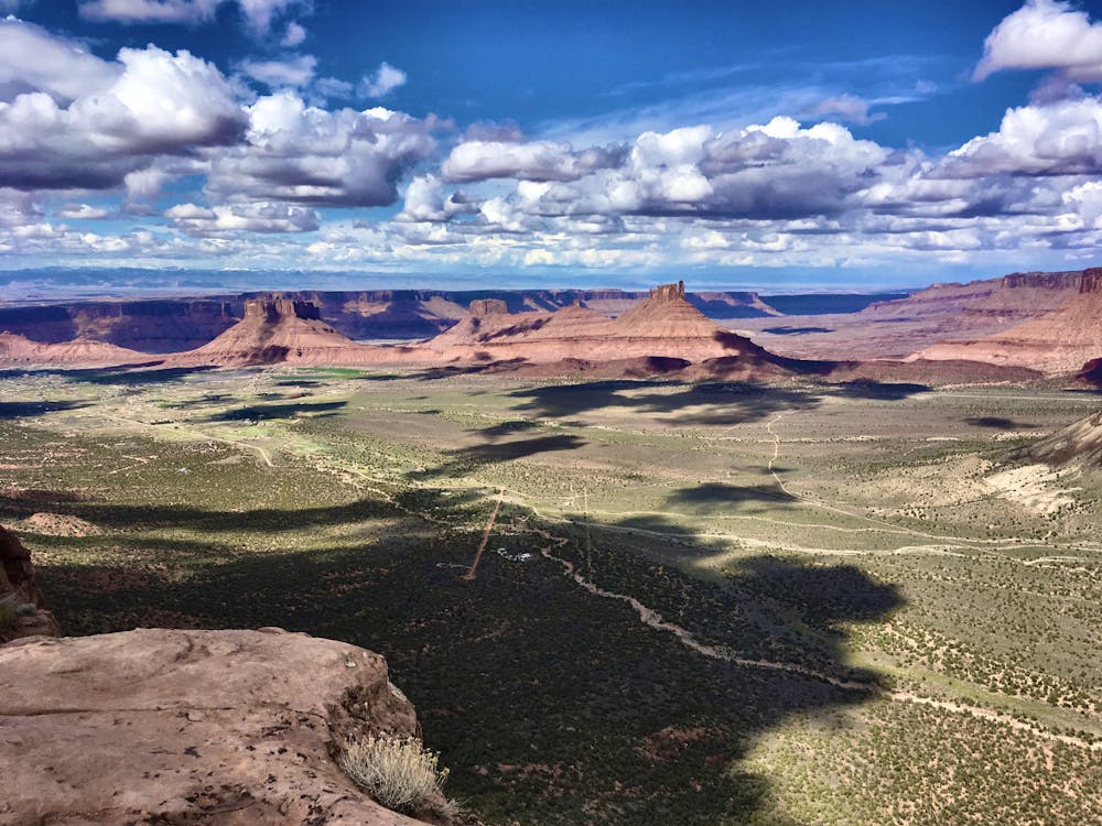
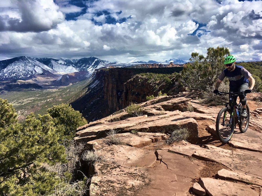
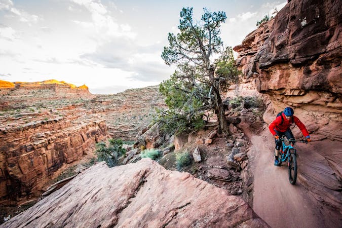
The first roughly 2/3 of this route is 4x4 road—but extremely gnarly 4x4 road. Massive ledge drops, deep sand pits, and never-ending rock gardens will challenge mountain bikers despite the width of the road. The harrowing technical challenges lead to drop-dead-gorgeous views off of the Rim itself.
Lower down, a singletrack portion of Porcupine Rim branches off the 4x4 road, and the technicality of this route goes through the roof. While a good bit of it is rideable by mere mortals, portions of this trail reach double black diamond difficulty—and beyond. A few corners and rock moves are only rideable by professional-level mountain bikers and will require less-skilled riders to carry their bikes. Some parts of this trail are also very exposed, but the gorgeous views of the canyon, and finally the Colorado River, are well-worth the challenge.
While Porcupine Rim is now best enjoyed with The Whole Enchilada, on its own it's still an epic mountain bike ride in every sense of the word!
Extreme
Very steep, difficult, narrow singletrack with widely variable and unpredictable trail conditions. Unavoidable obstacles could be 15in/38cm tall or greater, and unavoidable obstacles with serious consequences are likely to be present. Obstacles could include big rocks, difficult root sections, drops, jumps, sharp switchbacks, and more. Ideal for expert-level riders.
5.1 km away

A new, flowy, intermediate-friendly romp filled with swoopy singletrack and mellow rock slabs.
Difficult Mountain Biking
9 km away
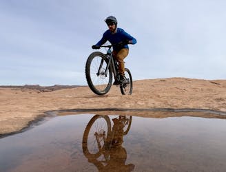
A fantastic change of pace from the classic Slickrock loop.
Severe Mountain Biking
9 km away
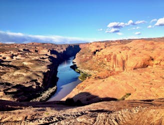
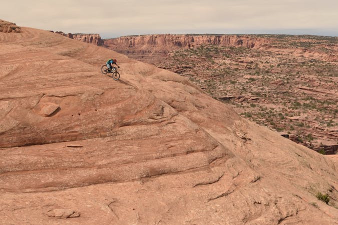
One of the original world-famous mountain bike trails, the unique slickrock slabs provide an otherworldly ride experience
Severe Mountain Biking
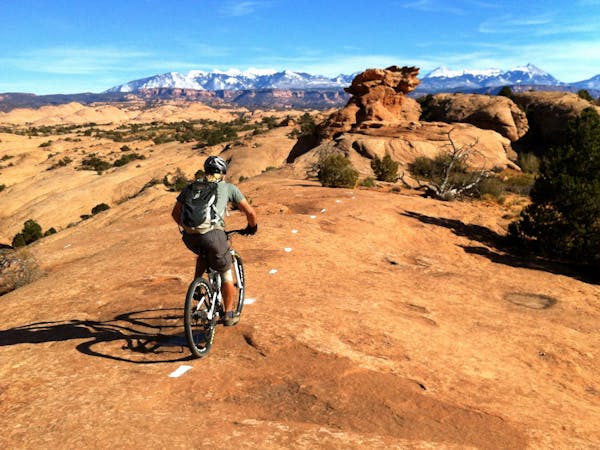
5 routes · Mountain Biking
20 routes · Mountain Biking
4 routes · Mountain Biking · Hiking
37 routes · Mountain Biking
25 routes · Mountain Biking
24 routes · Mountain Biking