1.8 km away
Red Cliffs Loop
An easy pedal linking sandy singletrack and old road grades, with stunning views of the red cliffs in the background.
Easy Mountain Biking
- Distance
- 7.9 km
- Ascent
- 148 m
- Descent
- 148 m
A long point-to-point shuttle that efficiently tags a slew of trails from Red Cliffs to Dino Cliffs.
Mountain Biking Severe

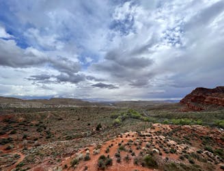
The trail network located just west of Interstate 15 offers several logical route combinations. The trails in the Red Cliffs National Conservation Area provide a great beginner ride all by themselves. The Prospector Trail provides a nice, long XC ride when ridden as an out-and-back. Church Rocks is a technical mountain biking playground. And if you want to combine all of these trails together and tack on Dino Cliffs in the most efficient way possible, you can pedal a point-to-point ride as mapped here.
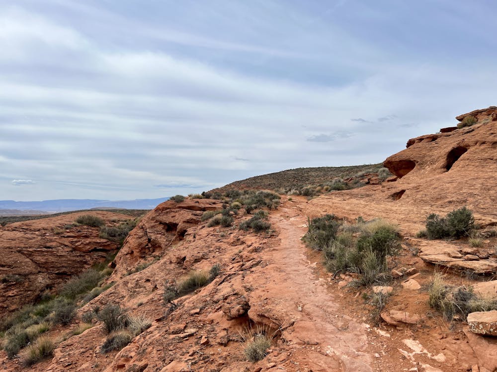
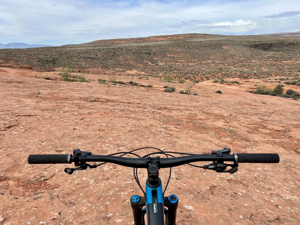
This ride begins from the Red Cliff Campground, although you could easily begin from the larger trailhead close to the interstate. The initial trails consist of smooth, sandy singletrack connected to old road grades that have since been gated and no longer see vehicle traffic. These old road grades are slowly narrowing down to singletrack as the years roll on.
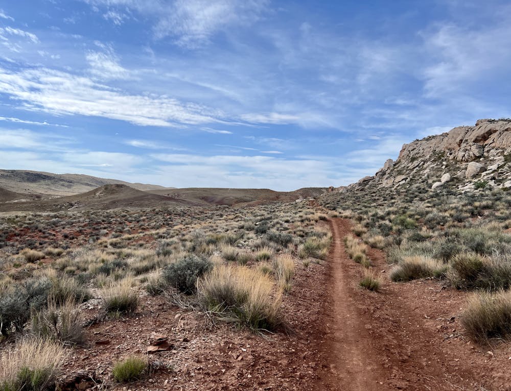
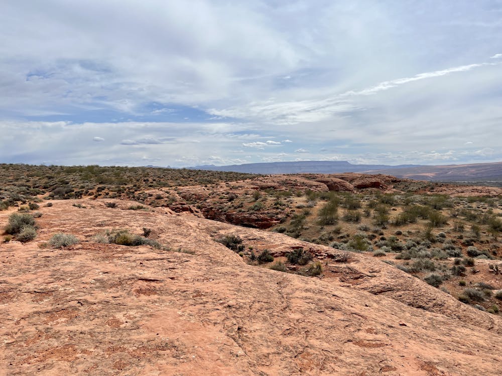
Once onto the Prospector Trail, the trail quality ratchets up a notch with miles and miles of singletrack stretching out into the distance. Even though this is a point-to-point shuttle, this is still definitely an XC trail ride with plenty of climbing. According to FATMAP, you'll gain about 1,400 vertical feet compared to losing 1,550 vertical feet... so you only get about 150 free feet of elevation from the shuttle. A few of the most substantial hills that you'll have to scale are found here on Prospector.
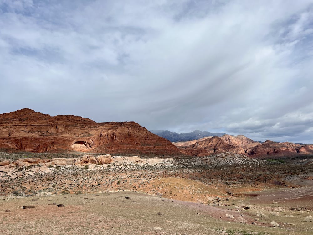
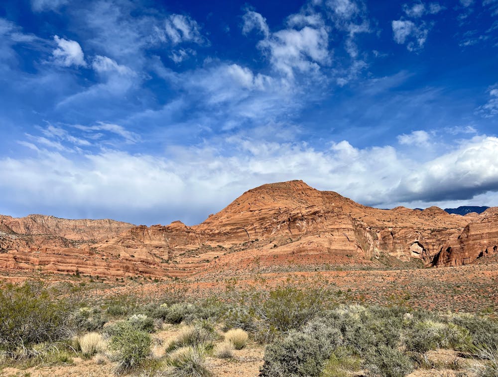
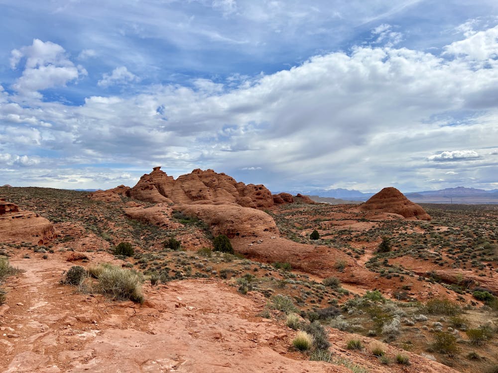
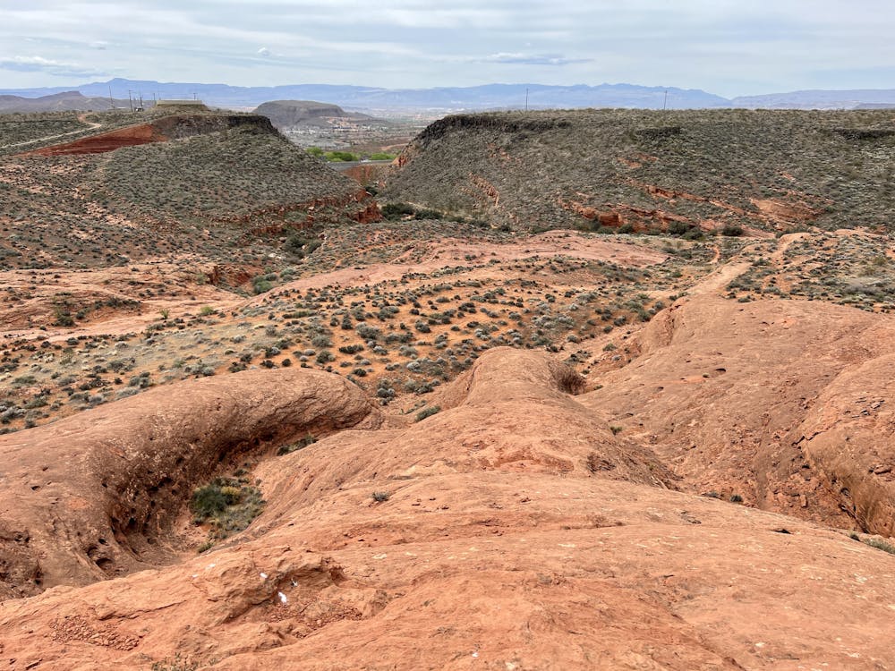
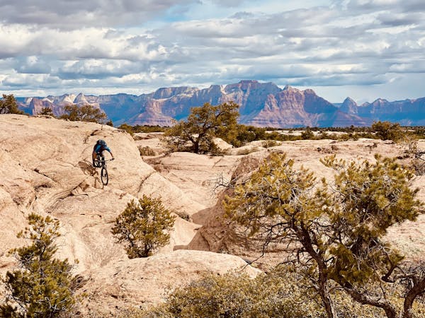
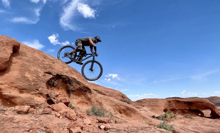
The trail character changes dramatically when you reach Church Rocks, and it is here that this mountain bike route earns its "Severe" rating. To make a logical point-to-point ride, you'll climb some steep sections of rippled red rock with steep ledges and rock gardens. But once on top, you'll get to pedal along incredible upthrust sandstone bedrock, with impressive views across the northern reaches of St. George.
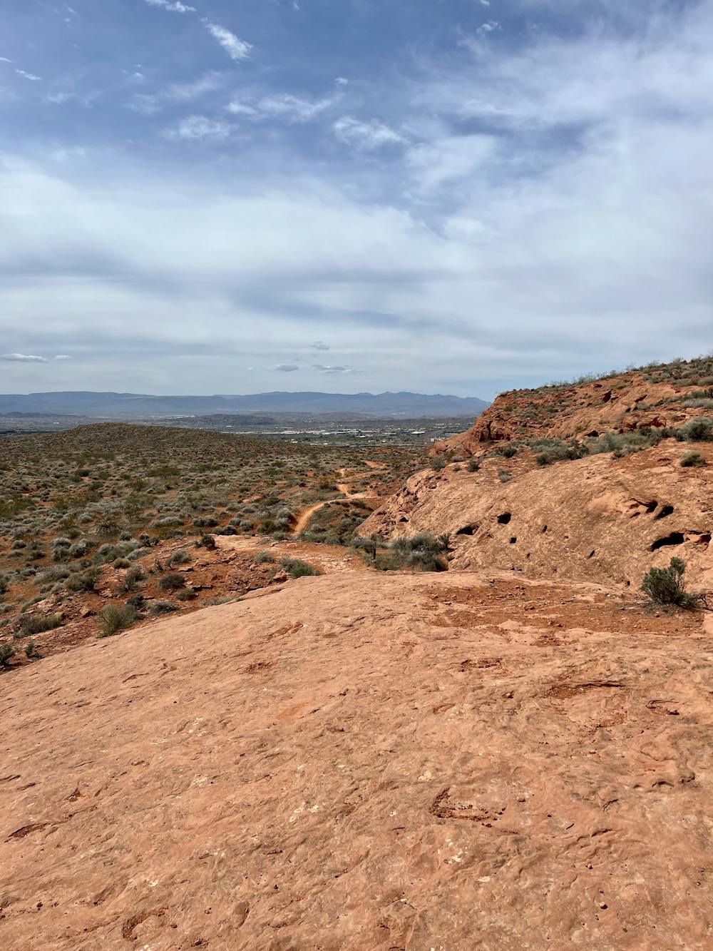
After pedaling along the top, it's time to rip down! You'll have two different options: an easier route to the right, and a more difficult one to the left. The "more difficult" line is still easily achievable for advanced riders, featuring steep rock rolls with some exposure.
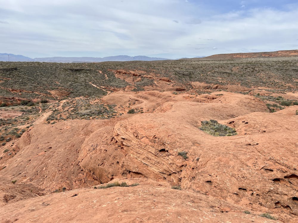
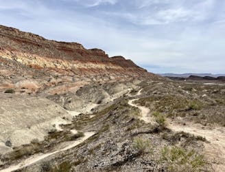
After climbing up out of the valley at the end of Church Rocks, you'll connect to the Dino Cliffs area, where more chunky trail and rock slabs await. Dino Cliffs rolls on quickly with a series of chundery rock gardens, ledge drops, and beautiful sandstone slickrock unfurling before you. The climb back out is a kick in the pants, but it's over quickly.
Finish the ride with a quick road spin back to the Grapevine Trailhead.
Severe
Widely variable, narrow trail tread with steeper grades and unavoidable obstacles of 15in/38cm tall or less. Obstacles may include unavoidable bridges 24in/61cm wide or less, large rocks, gravel, difficult root sections, and more. Ideal for advanced-level riders.

Some trail sections have exposed ledges or steep ascents/descents where falling could cause serious injury.

Away from help but easily accessed.
1.8 km away
An easy pedal linking sandy singletrack and old road grades, with stunning views of the red cliffs in the background.
Easy Mountain Biking
5.6 km away
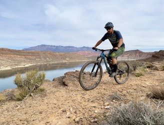
A popular intermediate-friendly trail near Quail Creek Reservoir.
Moderate Mountain Biking
6 km away

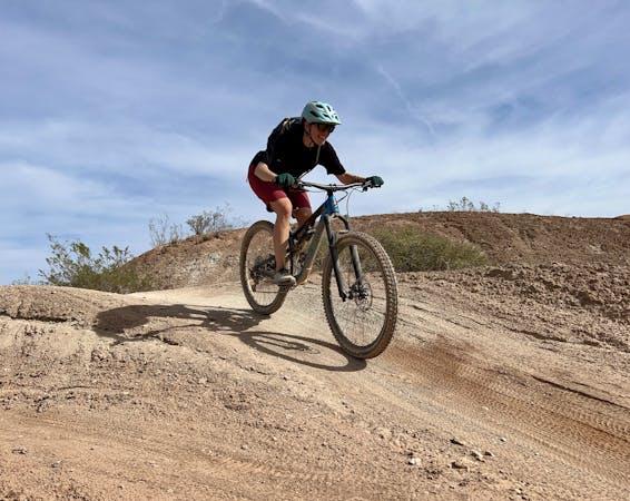
Twist & Shout is an excellent short lap for beginner rides, with a fantastic downhill flow trail section!
Easy Mountain Biking
6.3 km away
These rocky, rugged trails are the first to dry in Hurricane after a rain or snow.
Extreme Mountain Biking
9 routes · Mountain Biking
8 routes · Mountain Biking
9 routes · Mountain Biking