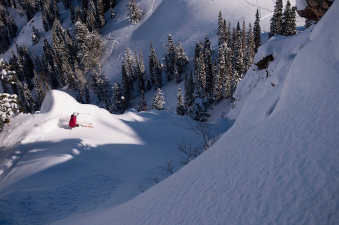
9 routes · Resort Ski Touring · Ski Touring
Designated uphill travel route at Snowbasin ski resort.
Resort Ski Touring Moderate

At Snowbasin, you can skin uphill before or after hours, but an uphill pass is required, and you must stay on the designated route going both uphill and down. There is a variation to the track mapped here, however, which swings wide on cat tracks instead of taking the blue runs, making an easier ascent.
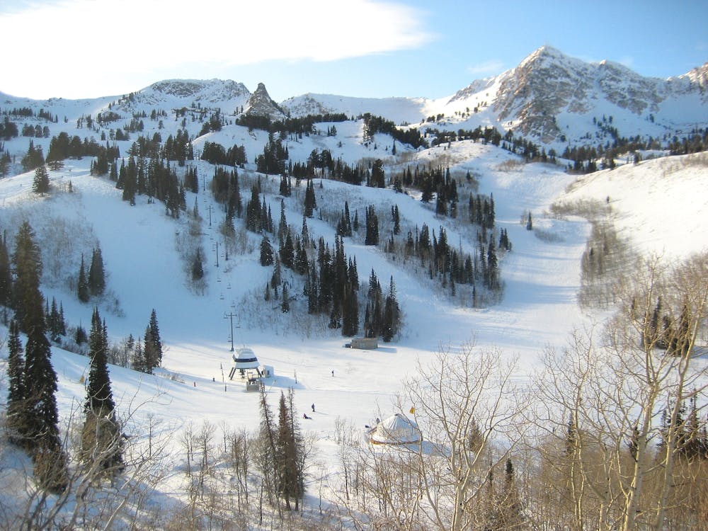
If you take this route all the way to the top at Needles Lodge, it's a respectable 2,300 feet of gain. This makes a doable dawn patrol workout for skiers in Ogden, but Snowbasin is quite a journey from most other places.
Before you go, you'll need to know the uphill travel policy and secure your access pass in advance. You can also check the daily conditions on Snowbasin's website. The full route shown here is only available on a "green day" when access is allowed all the way to Needles. On a "yellow day," it's allowed just to the base of Middle Bowl Express, about halfway up the mountain. A "red day" means uphill is closed.
Moderate

Close to help in case of emergency.
9 routes · Resort Ski Touring · Ski Touring