524 m away
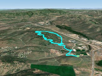
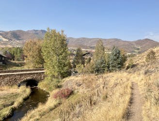
Lost Prospector Loop
An enjoyable Park City locals’ trail, easily accessible from Old Town and the resort.
Moderate Trail Running
- Distance
- 5.7 km
- Ascent
- 178 m
- Descent
- 178 m
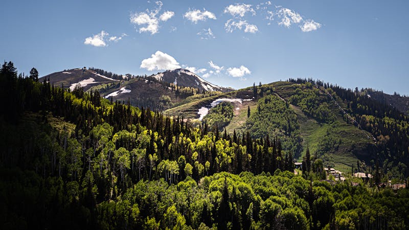
A mountain run that starts from Park City’s Main Street, through aspen forest and alongside relics of the mining days.
Trail Running Difficult

This is a great leg-burning workout that begins from Old Town Park City. The climb is quite sustained, but not super steep thanks to the switchbacks. It makes a stout challenge and will be a real ass-kicker if you’re not accustomed to the altitude here. Spend a few days running less-steep trails if you’ve just arrived from low elevation.
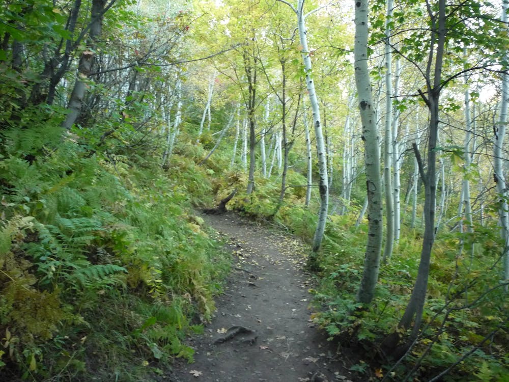
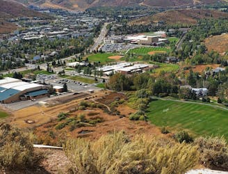
As mapped, the run begins from the center of town, near the base of Town Lift. You can access it from other points, however, including the trailhead parking area at the south end of Main Street. It begins as a dirt road but soon turns to singletrack. You’ll start uphill right away, and the grade doesn’t lessen much until you reach the top. The trail has plenty of roots and rocks to keep things interesting, but for the most part, the surface is firm dirt. You’ll likely share it with mountain bikers, most of them riding in the downhill direction, but it’s not an especially high-traffic trail.
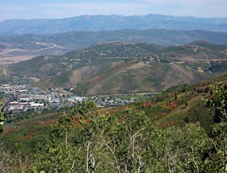
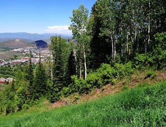
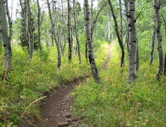
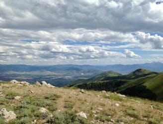
The lower section tends to be sunny and warm, with well-spaced trees and some open ski runs. Soon enough, you’ll enter a dense stand of aspen, and stay there pretty much all the way to the top. Sweeney’s feeds into John’s Trail (intersections are well marked), and John’s ends at the top of Bonanza Lift, in a clearing that gives quite a good view.
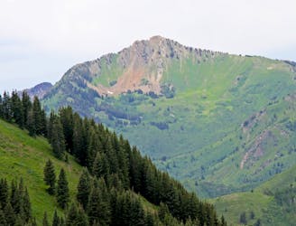
You’ll notice this mini-summit is nowhere near the top of the mountain, so you can keep running upward on other trails if you still have it in you. The historic Silver King Mine is just over the hill from this spot, so with a slight detour, you can see an impressive relic of Park City’s past. When you’re ready to go down, return the way you came (mapped) or make a loop with the ski run that follows the ridgeline.
Sources: https://www.trailsisters.net/2018/06/20/where-to-run-park-city-utah/
Difficult

The trail contains some obstacles such as outcroppings and rock which could cause injury.

Close to help in case of emergency.
524 m away
An enjoyable Park City locals’ trail, easily accessible from Old Town and the resort.
Moderate Trail Running
1.1 km away

Excellent training run that begins from the Park City base area, among a host of other summer activities.
Moderate Trail Running
1.9 km away
Sustained climb through leafy forest, then a fast descent with wide-open views over Park City.
Moderate Trail Running
2.9 km away
One section of a long trail that’s particularly well-suited for running, and connects with practically all the other trails in the ski resorts.
Moderate Trail Running
2.9 km away
A climb and descent with a rewarding summit, on hiker-only trails at Deer Valley Resort.
Moderate Trail Running
3.1 km away
Short and sweet hill run to a view over Park City.
Moderate Trail Running
4.4 km away
The perfect morning or evening training run in the hills outside of town.
Moderate Trail Running
6.4 km away
Epic ridge run along the backbone of Utah.
Difficult Trail Running
7.3 km away
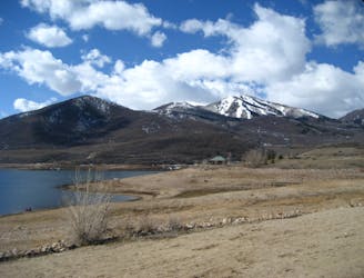
Rolling terrain above the shore of a large lake.
Easy Trail Running
9.6 km away
An ideal running loop in a network of trails just up the road from Park City.
Moderate Trail Running
10 routes · Trail Running