27 m away
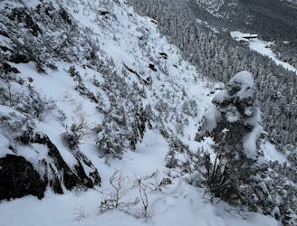
Profanity Chute

The most popular descent on Mount Mansfield.
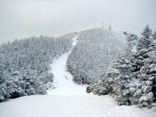
Difficult Freeride Skiing
- Distance
- 1 km
- Ascent
- 0 m
- Descent
- 382 m
The right way to do Profanity.
Freeride Skiing Difficult

This is a popular freeride skiing route which is generally considered to be difficult. It's remote, it features medium exposure (e2) and is typically done between January and February. From a low point of 1 km to the maximum altitude of 1.3 km, the route covers 592 m, 0 vertical metres of ascent and 260 vertical metres of descent. It's graded 5.1 and Labande grade 5. You'll need skins to complete it safely.
The left is easy the right is harder.
Difficult
Serious gradient of 30-38 degrees where a real risk of slipping exists.

As well as the slope itself, there are some obstacles (such as rock outcrops) which could aggravate injury.
Away from help but easily accessed.
27 m away
The most popular descent on Mount Mansfield.
Difficult Freeride Skiing
123 m away

An hourglass shaped chute for expert skiers only.
Difficult Freeride Skiing
132 m away

Technical ridge skiing that is not easy to access.
Severe Freeride Skiing
370 m away

The crown jewel of Smugglers Notch.
Difficult Freeride Skiing
407 m away

A very straight forward chute, directly above the Gondola.
Difficult Freeride Skiing
420 m away

A complex mess of boulders, trees and chutes that makes perfect freerider terrain.
Severe Freeride Skiing
535 m away

Climbing Gully serves as the approach for Mount Mansfield, but it also makes a great ski line.
Difficult Freeride Skiing
740 m away

A popular glade involving a mandatory icefall
Moderate Freeride Skiing
903 m away

A long traverse, under a massive icefall leads to some fun low angle glades
Moderate Freeride Skiing
922 m away
A hero line with wild exposure
Extreme Freeride Skiing
12 routes · Freeride Skiing