13 m away
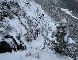
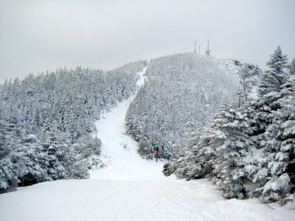
Cliff Trail Gully

A very straight forward chute, directly above the Gondola.
Difficult Freeride Skiing
- Distance
- 342 m
- Ascent
- 0 m
- Descent
- 137 m

A complex mess of boulders, trees and chutes that makes perfect freerider terrain.
Freeride Skiing Severe

Rock Garden refers to the area on the Kitchen Wall where many rocks have tumbled from the cliffs above, forming a massive boulder field. This area fills in better than you would expect, making for an incredible playground by mid winter. The area is filled with cliffs, pillow lines and chutes. There are endless ways to hit it and you can go as big as you want. To access the Rock Garden, hike up the Cliff Trail Gully until you reach the ridge, then hike south along the top. Accessing the Rock Garden is much more difficult than the summit of Mansfield, it requires some rock scrambling at first, then a downhill hike that can sometimes be icy. When there has been recent snow with little wind, sometimes it can be skied. The Rock Garden is marked by a large crest of rock that differs from the surrounding terrain. Climb up and over this crest and begin looking for drop ins to the skiers left. There are 2 obvious entrances and many others that are less defined. The top of Rock Garden is very steep and rocky, this can be icy at times. Take it slow, a fall would be very costly here. Once you get about half way down, the pitch mellows and hittable cliffs become more abundant. It’s good to do a scoping run before going full send, but once you know the terrain, there are plenty of cliffs, chutes and straightlines to hit. Rock Garden drains into tight woods that exit onto the Kitchen Wall traverse. Be mindful that skiers may be coming across it as you merge on.
Severe
Steep skiing at 38-45 degrees. This requires very good technique and the risk of falling has serious consequences.
13 m away

A very straight forward chute, directly above the Gondola.
Difficult Freeride Skiing
351 m away

Climbing Gully serves as the approach for Mount Mansfield, but it also makes a great ski line.
Difficult Freeride Skiing
409 m away

The most popular descent on Mount Mansfield.
Difficult Freeride Skiing
442 m away

A popular glade involving a mandatory icefall
Moderate Freeride Skiing
525 m away

A hero line with wild exposure
Extreme Freeride Skiing
539 m away

An hourglass shaped chute for expert skiers only.
Difficult Freeride Skiing
548 m away

Technical ridge skiing that is not easy to access.
Severe Freeride Skiing
577 m away

A long traverse, under a massive icefall leads to some fun low angle glades
Moderate Freeride Skiing
789 m away

The crown jewel of Smugglers Notch.
Difficult Freeride Skiing
1 km away

A frozen riverbed that’s almost as wide as a ski trail.
Moderate Freeride Skiing

12 routes · Freeride Skiing