14 m away
Henry Lanum Memorial Trail

A phenomenal hike through the Virginia Blue Ridge with incredible views atop Mount Pleasant.
Difficult Hiking
- Distance
- 9.4 km
- Ascent
- 396 m
- Descent
- 396 m
An epic hike off of the Appalachian Trail with astonishing views atop Cole Mountain.
Hiking Moderate

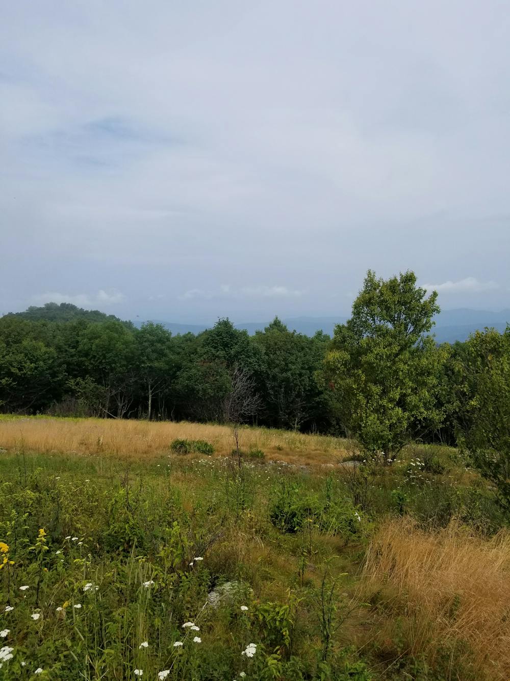
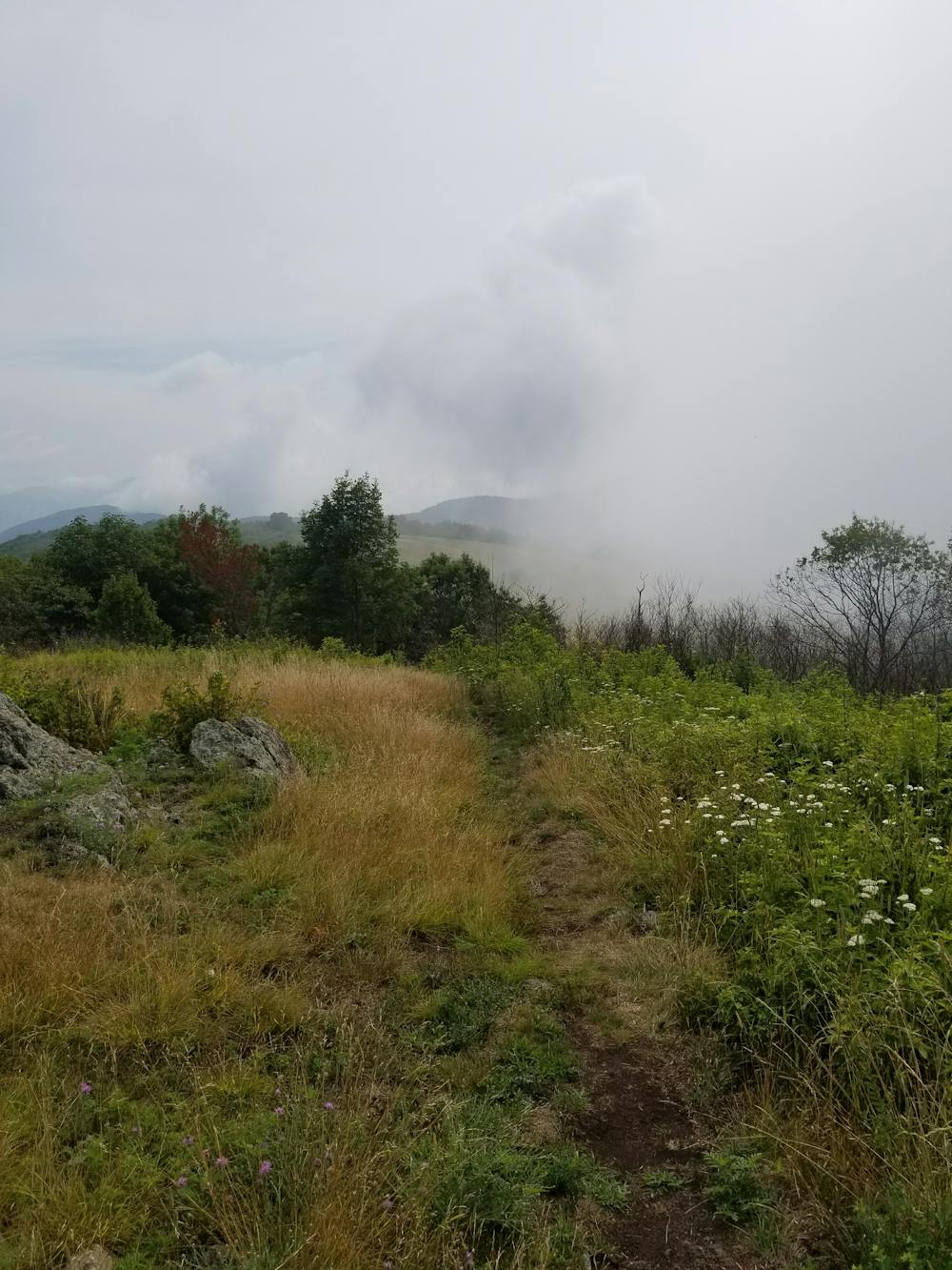
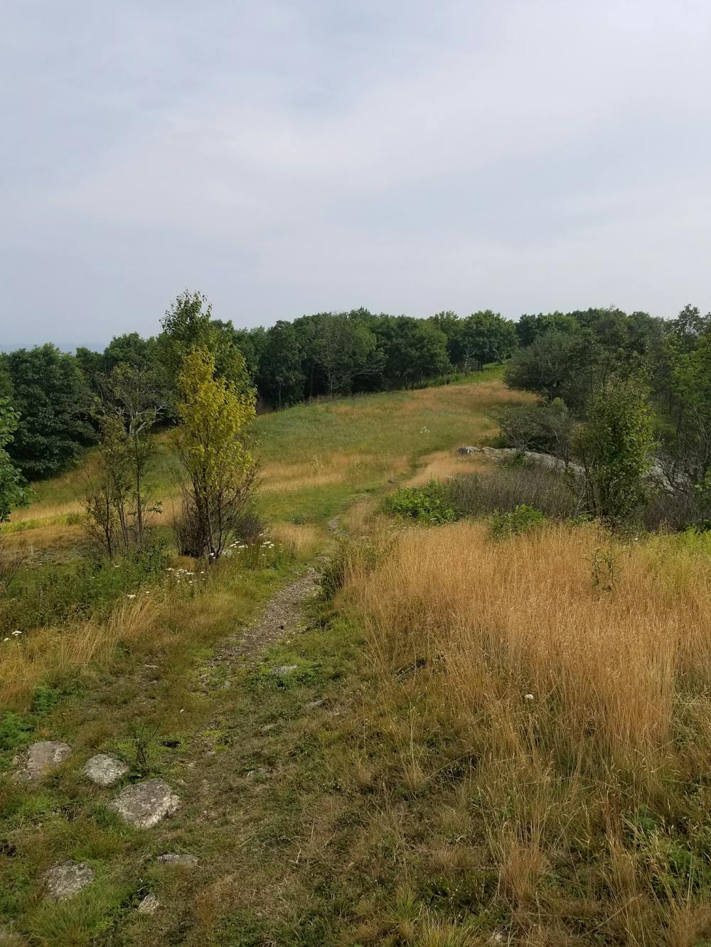
Cole Mountain is arguably one of the most underrated spots on the AT in Virginia. As the 2,200-mile long Appalachian Trail leaves the comfort of the Blue Ridge Parkway, it spirals around Lynchburg Reservoir, crosses the Lexington Turnpike, then begins a demanding climb into remote high country. Hovering around 4,000', the views atop the bald ridge rival those of the Roan Highlands and other summits in Southern Appalachia.

This loop begins at a small trailhead just off of Wiggins Spring Road. Cell reception is extremely limited and should not be relied upon for any reason. Plan accordingly and make sure to tell someone of your plan and when you expect to return. Additionally, the gravel road to the trailhead is particularly rough and a higher-clearance vehicle is recommended.
From the trailhead, you have the option to complete the loop in either direction. Cole Mountain can also be the destination for a shorter out-and-back hike.
This loop pairs the Old Hotel Trail with the Appalachian Trail. Little history can be found about the area, but evidence of farming can still be seen. As the AT passes over Cole Mountain (sometimes referenced as Cold Mountain), it crosses through a high, open meadow where you are welcomed with incredible views and a vast array of wildflowers in the spring and summer. On a hot summer day, this is an excellent hike to escape the heat of the valley below.
There are multiple opportunities for camping along the way and this is an excellent route to prepare for a longer backpacking route along the AT. For an even longer hike or trail run, the Henry Lanum Memorial Trail also begins from the trailhead and two defined vistas provide incredible views of their own.
Moderate
Hiking along trails with some uneven terrain and small hills. Small rocks and roots may be present.

The trail contains some obstacles such as outcroppings and rock which could cause injury.

Little chance of being seen or helped in case of an accident.
14 m away
A phenomenal hike through the Virginia Blue Ridge with incredible views atop Mount Pleasant.
Difficult Hiking