5 routes · Mountain Biking
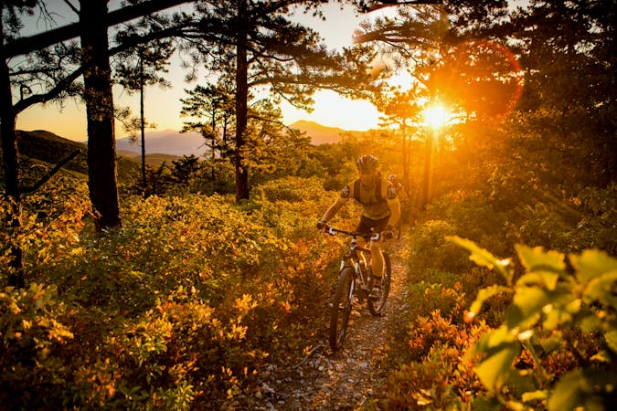
Roanoke's favorite in-town singletrack hit.
Mountain Biking Moderate

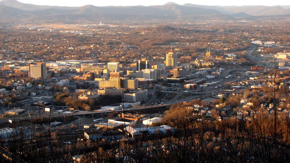
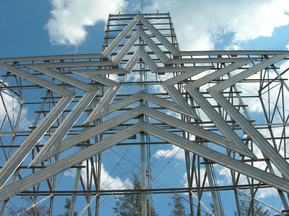
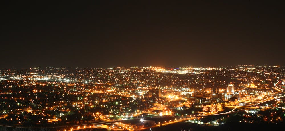
Mill Mountain is a small mountain rising directly above downtown Roanoke, Virginia. Climbing to a height of almost 1,700 feet above sea level, the views of the city flanked by the Blue Ridge Mountains make Mill Mountain a popular tourist attraction. Adding to the attraction is "the largest freestanding illuminated man-made star in the world,” standing 88 feet tall above the mountaintop (Source).
With 650 acres of protected open space, Mill Mountain is home to about 10 miles of singletrack trails. While a couple of the trails are designated as hiking only, the vast majority are open to mountain biking, providing a superb in-town singletrack hit for locals and visitors alike.
The technical difficulty of most of the trails on Mill Mountain clocks in at “intermediate,” but rocks and roots help keep the East Coast spice alive. While the technical difficulty may be low, the aerobic difficulty can feel significant, even on such a short ride. The trails on Mill Mountain tend to climb and descend quite quickly, and can very well force you to redline right out of the gate!
The route mapped here attempts to make the most of the trail system by climbing and descending the mountain twice. It is possible to loop in a couple of other trails if desired, but most riders will generally pedal just one quick loop up and down the mountain. With this map as your guide, you can easily piece together a route with the perfect length for you.
Sources: https://www.playroanoke.com/wp-content/uploads/2017/04/Mill-Mountain-Trail-Map-April-2017.pdf https://www.youtube.com/watch?v=-9rbZF8sD44 https://www.eastcoasters.com/articles/mill-mountain-mountain-biking-pg202.htm https://www.visitroanokeva.com/biking/mountain-biking/mill-mountain-park/
Moderate
Mostly stable trail tread with some variability, with unavoidable obstacles 8in/20cm tall or less. Other obstacles such as rock gullies and steep sections may exist. Ideal for lower intermediate riders.

The trail contains some obstacles such as outcroppings and rock which could cause injury.

Close to help in case of emergency.
5 routes · Mountain Biking