1 m away
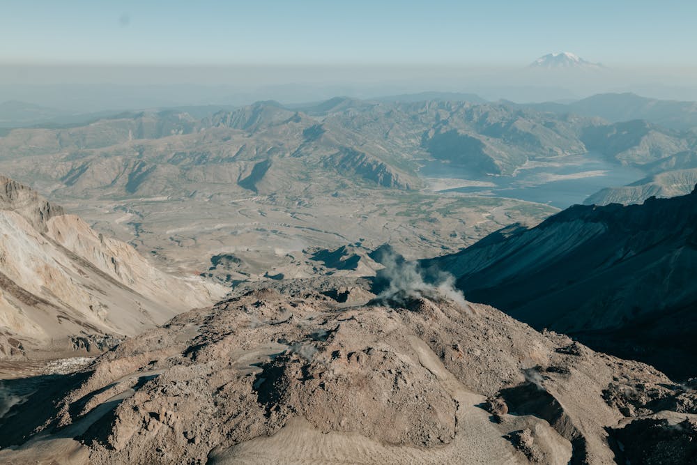
Mount St. Helens: Monitor Ridge Route
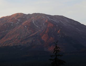
The most popular summer route to the top of Mount St. Helens.
Severe Hiking
- Distance
- 14 km
- Ascent
- 1.5 km
- Descent
- 1.5 km
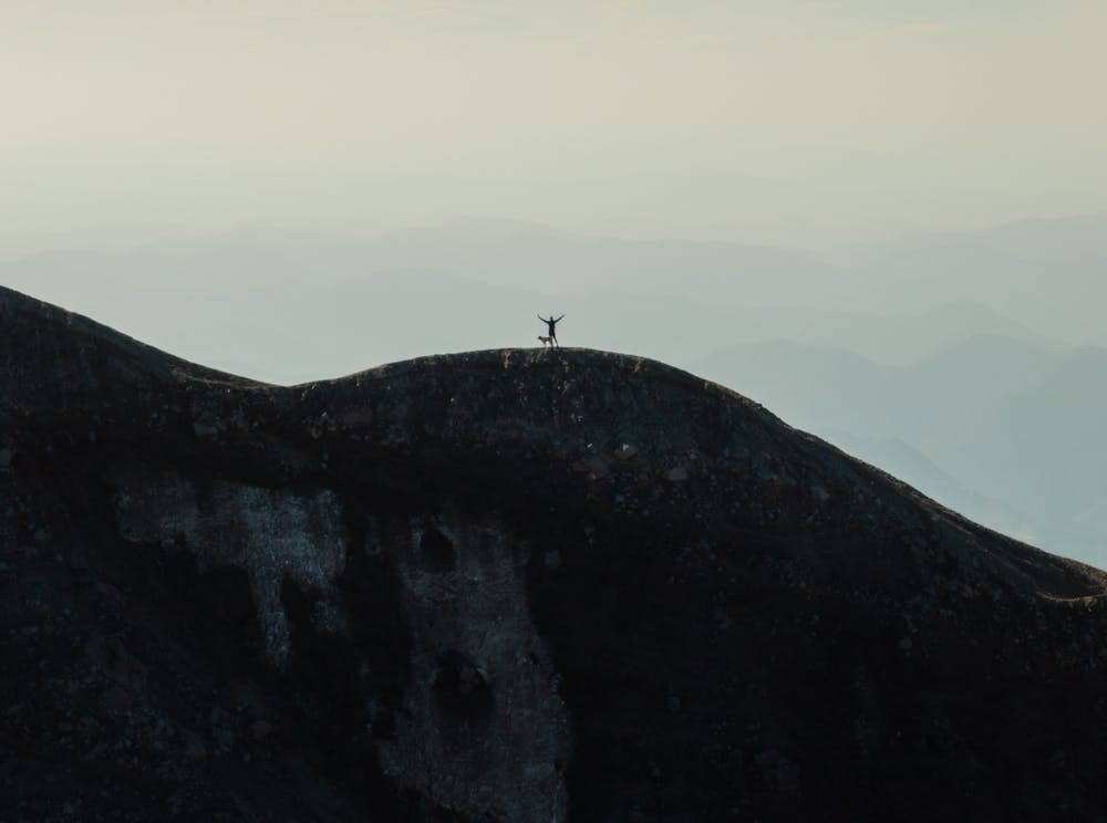
Hike up to the summit & crater of one of the most iconic volcanoes in the PNW!
Hiking Difficult

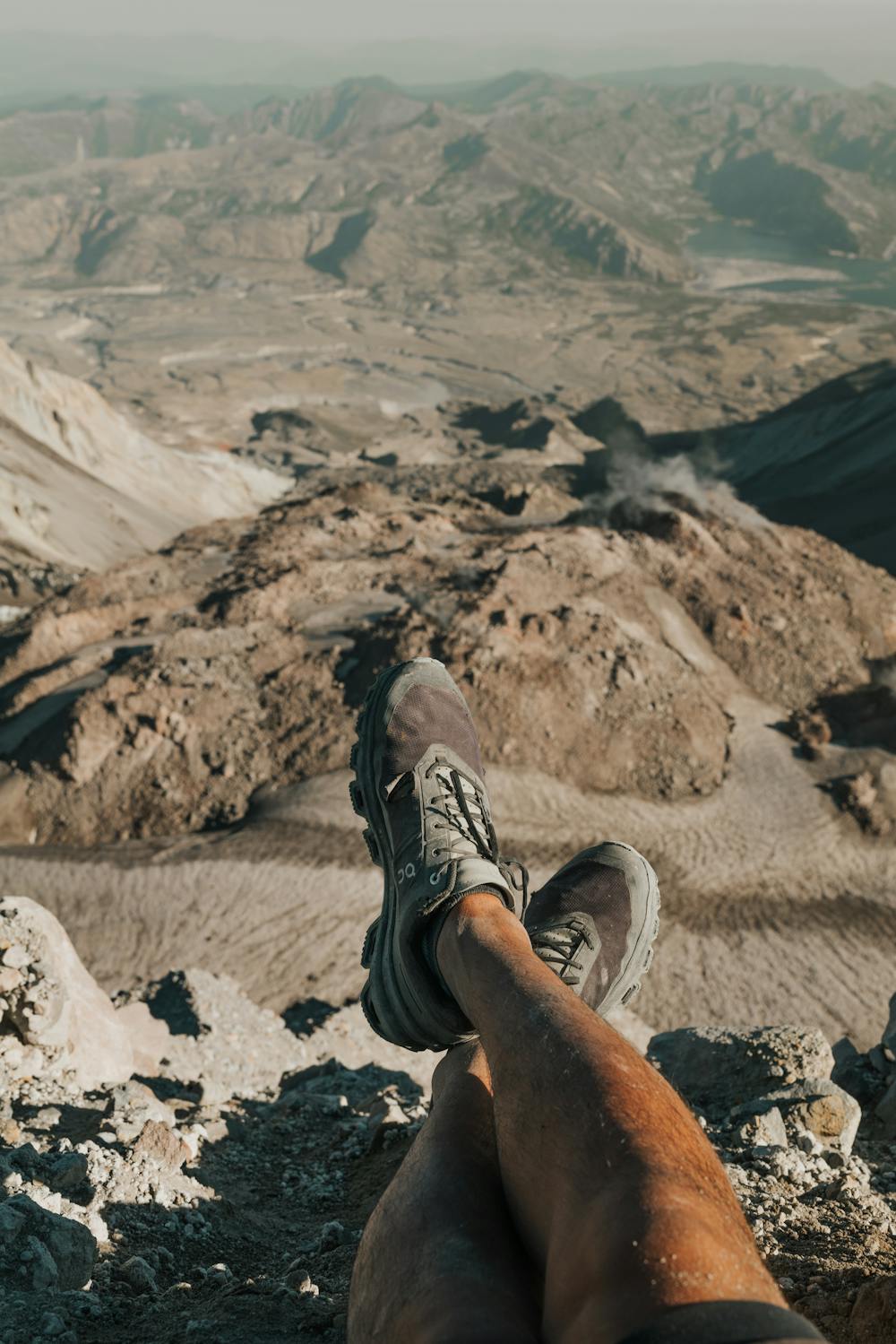
Mount St. Helens is a popular climb to an ever-changing landscape / active volcano. The 13.2 km out-and-back goes through a 2nd growth forest with the some scrambling up scree / volcanic ash required.
Remember to grab your permit and a parking tag. Permits can sell out months in advance, so plan ahead!
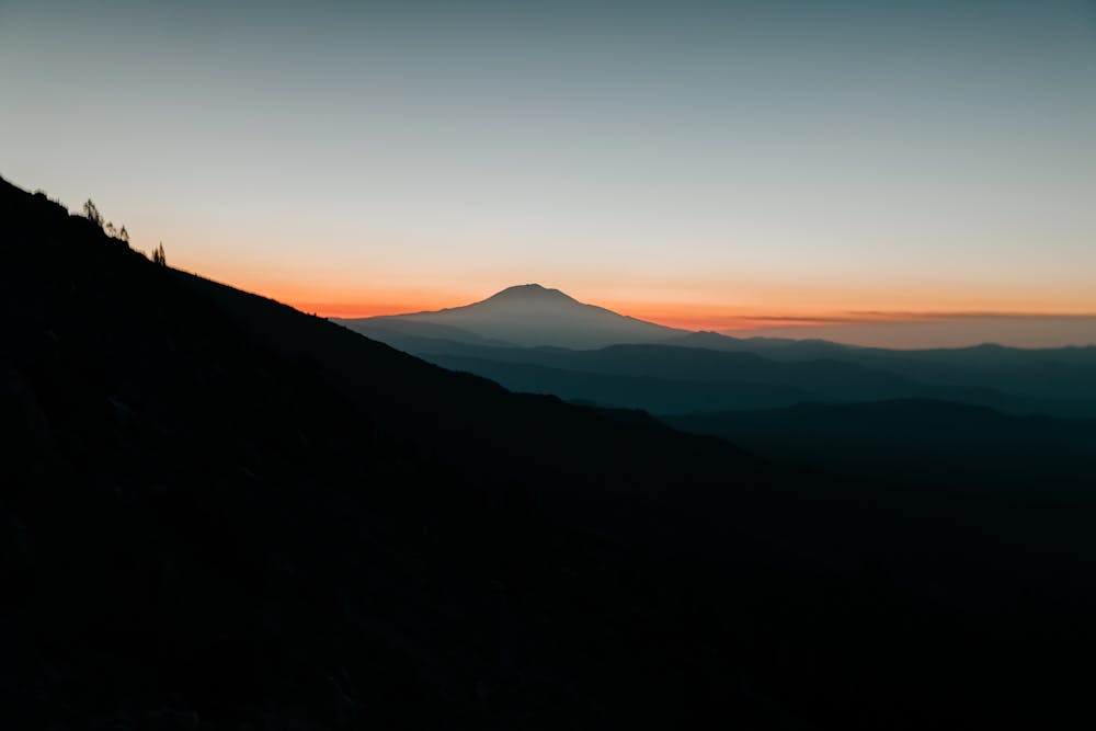
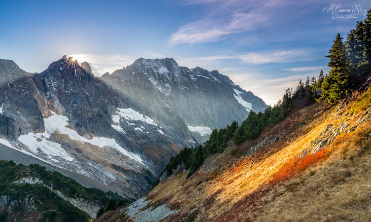
An alpine start is HIGHLY recommended to avoid the heat of the late afternoon, and to catch the epic sunrise behind Rainier on the way up! Aim to reach the tree-line by sunrise if you want to see it!
You'll want to also make sure you bring enough water, as pushing through the ash field at the top is like taking 2 steps backwards for every step forwards!
Dogs: YES, this trail is dog friendly, however keep in mind that the volcanic rock may be hard on their paws. Booties are recommended as the rock can be sharp.
NOTE: Bears are common in this area, do NOT leave food where you are sleeping.
Difficult
Hiking trails where obstacles such as rocks or roots are prevalent. Some obstacles can require care to step over or around. At times, the trail can be worn and eroded. The grade of the trail is generally quite steep, and can often lead to strenuous hiking.

Some trail sections have exposed ledges or steep ascents/descents where falling could cause serious injury.

Away from help but easily accessed.
1 m away
The most popular summer route to the top of Mount St. Helens.
Severe Hiking
5 routes · Hiking
7 routes · Hiking