5.9 km away
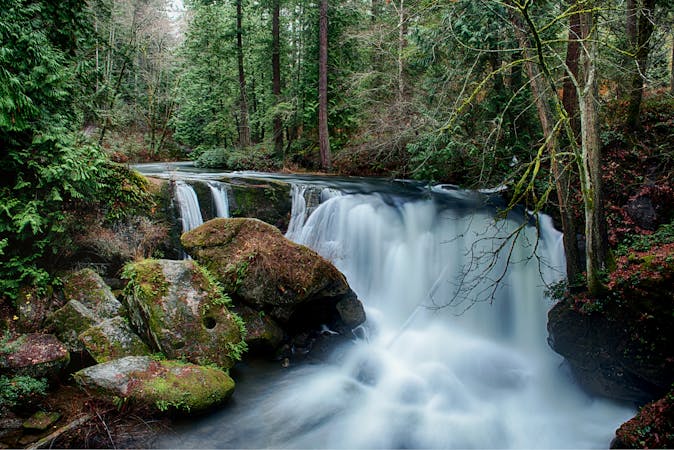
Fern Falls
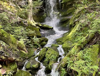
Hike to one of Bellingham's little-known waterfalls.
Easy Hiking
- Distance
- 4 km
- Ascent
- 214 m
- Descent
- 214 m
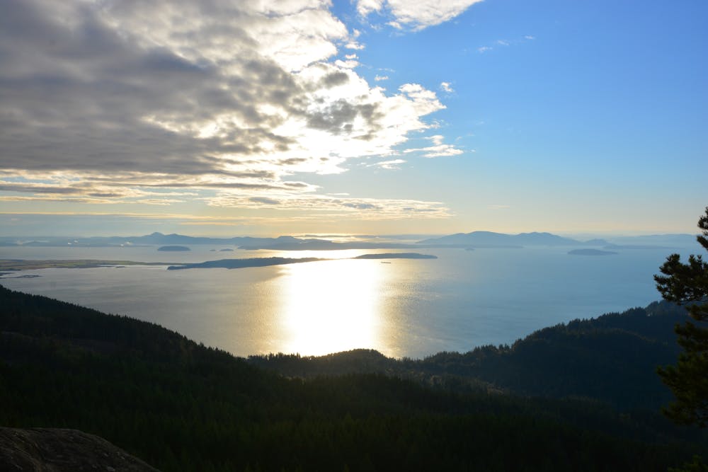
Climb to a stunning view of Puget Sound.
Hiking Severe

If you are looking for a challenging hike with stunning views of Puget Sound and the San Juan Islands, look no further than the Oyster Dome Trail. This 6-mile roundtrip hike takes you through lush forests, past giant boulders, and up to a rocky cliff that overlooks Samish Bay and the Olympic Mountains.
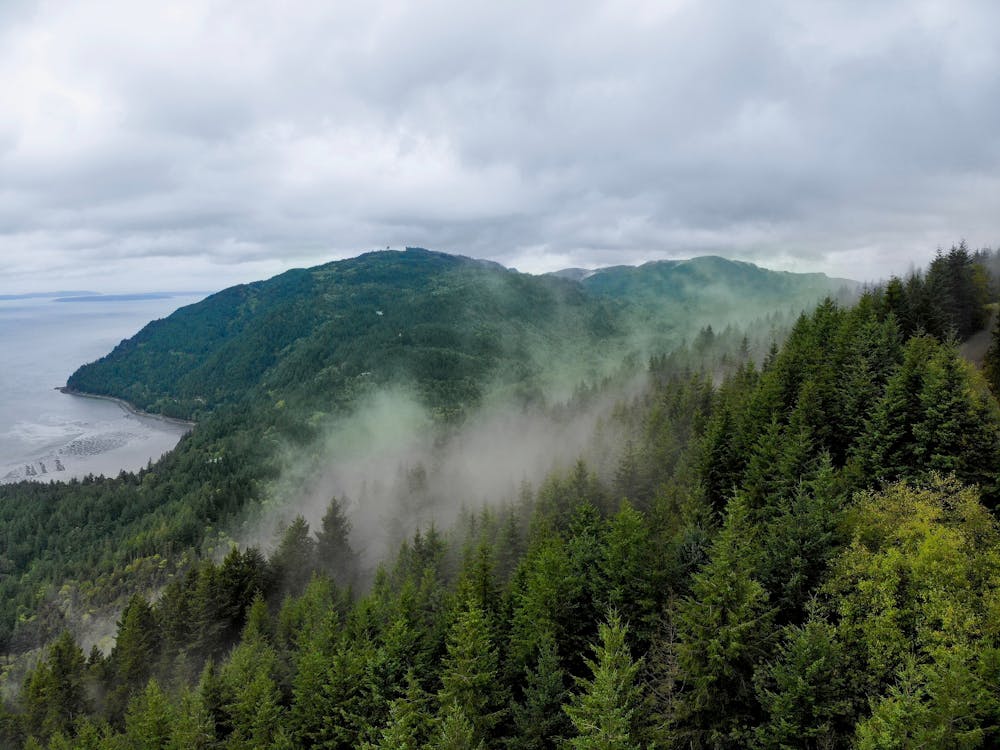
The trail starts at the Samish Overlook parking area, where you can enjoy a panoramic view of the Skagit Valley and the islands. You will follow a section of the Pacific Northwest Trail, descending to a junction with the Samish Bay Connector. Turn right and begin your ascent, switchbacking through second-growth forest that was once logged for oyster fishing. Along the way, you will see remnants of logging history, such as old stumps and artifacts.
The trail becomes steeper and rockier as you approach the Oyster Dome, passing by some impressive boulders that were left behind by glaciers. The final stretch is a short but steep scramble to the top of the dome, where you will be rewarded with a breathtaking view of the water and the mountains. On a clear day, you can see Mount Baker, Mount Rainier, and even Vancouver Island.
Sources: Oyster Dome — Washington Trails Association. https://www.wta.org/go-hiking/hikes/oyster-dome. Quick Answer: How Many Hours Would It Take To Hike Oyster Dome. https://bikehike.org/how-many-hours-would-it-take-to-hike-oyster-dome/. Conversation with Bing Chat
Severe
Hiking challenging trails where simple scrambling, with the occasional use of the hands, is a distinct possibility. The trails are often filled with all manner of obstacles both small and large, and the hills are very steep. Obstacles and challenges are often unexpected and can be unpredictable.

Some trail sections have exposed ledges or steep ascents/descents where falling could cause serious injury.

Away from help but easily accessed.
5.9 km away
Hike to one of Bellingham's little-known waterfalls.
Easy Hiking
4 routes · Hiking