5.9 km away
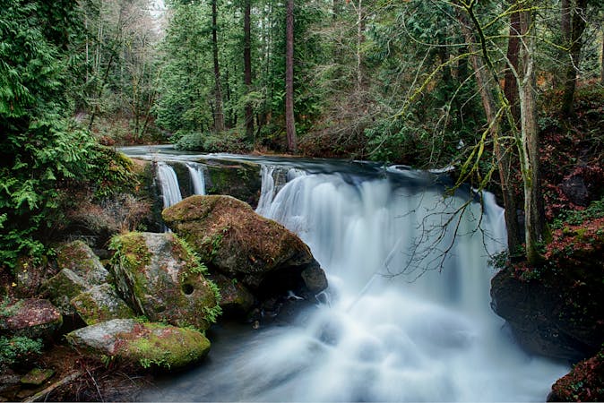
Chuckanut Falls
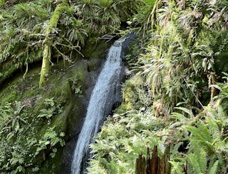
Discover beautiful Chuckanut Falls, just outside of downtown Bellingham.
Moderate Hiking
- Distance
- 3.8 km
- Ascent
- 140 m
- Descent
- 140 m
Hike to one of Bellingham's little-known waterfalls.
Hiking Easy

This waterfall doesn't appear on many maps, but according to some sources, it's called "Fern Falls." The lack of renown is probably due to the access. In order to hike to Fern Falls, you'll essentially have to walk up a gated forest road. Hiking along a gravel road isn't always the most enjoyable experience, but due to the gate at the bottom, you won't have to deal with vehicle traffic—only bicycles.
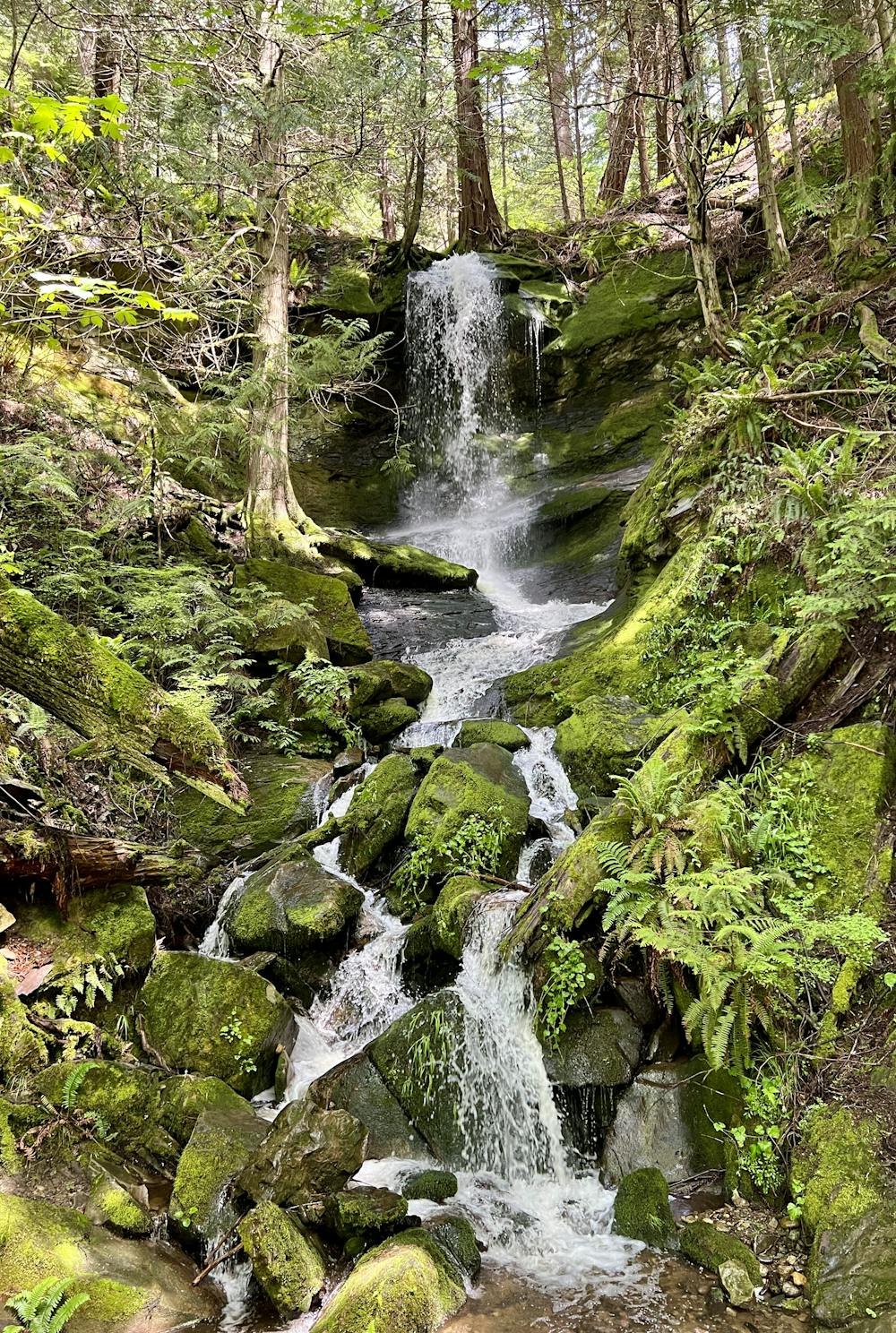
The hike to the falls covers 2.5 miles round-trip, and you'll climb about 700 vertical feet on the 1.25 miles up to the falls. While the grade is consistent and the footing is reliable, the climb is relentless. When you reach the base of the falls, you'll be ready for a break!
It's a shame that this waterfall isn't better-known, as this impressive cascade is one of the more visually-stunning waterfalls in the Bellingham area. Like all of the regional waterfalls, it's best to visit this in the springtime when the water levels are high—and when they are, you'll be treated to the impressive boom and crash of water breaking on the rocks below!
Once done at the falls, the most efficient route is to return to your car the same way you came. It is possible to hike all the way up to Fragrance Lake and return via the hiking-only Fragrance Lake trail, but that would make for a longer day out.
Easy
Walking along a well-kept trail that’s mostly flat. No obstacles are present.

The path is on completely flat land and potential injury is limited to falling over.
Close to help in case of emergency.
5.9 km away
Discover beautiful Chuckanut Falls, just outside of downtown Bellingham.
Moderate Hiking
5.9 km away
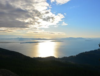
Climb to a stunning view of Puget Sound.
Severe Hiking
4 routes · Hiking