5.9 km away
Fern Falls
Hike to one of Bellingham's little-known waterfalls.
Easy Hiking
- Distance
- 4 km
- Ascent
- 214 m
- Descent
- 214 m
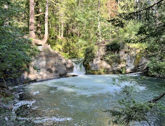
Discover beautiful Chuckanut Falls, just outside of downtown Bellingham.
Hiking Moderate

Chuckanut Mountain is an area of incredible beauty, even compared to the rest of Bellingham's fabulous riches of stunning rainforests. For a fantastic waterfall hike from the North Chuckanut Trailhead, follow this route to Chuckanut Falls.
The hike to Chuckanut Falls begins climbing straight from the trailhead, but don't worry: it definitely levels off in a few places. But despite the occasional flat spot, this hike does continue to surge up and down short, steep climbs.
The trail tread consists of smooth black dirt punctuated by manmade bridges over especially wet areas. The only true challenge to the footing is when the dirt is wet, which can make the steeper areas slippery and treacherous. Especially when heading down to the falls, the trail gets a bit steeper and narrower and can be slick when wet.
To reach the falls, you'll have to connect several different trails together, but at all of the junctions, you should be able to spot a trail sign with an arrow pointing the way to Chuckanut Falls. But if in doubt, be sure to download this map for offline navigation.
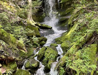
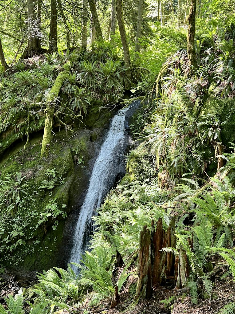
The eventual destination is a beautiful cascade down a rock face in Bellingham's stunning rainforest. The cascade is surrounded by ferns and shaded by towering trees. This idyllic oasis is only marred by the traffic noise from nearby Interstate 5, but at least the highway is hidden from view by the thick forest.
Once done enjoying the waterfall, you can either return to the car the same way you came (for the most direct route), or you can choose to hike some more bonus miles on Chuckanut Mountain. But be warned: heading further past Chuckanut Falls will lead to a steep ascent up the mountainside!
Moderate
Hiking along trails with some uneven terrain and small hills. Small rocks and roots may be present.

The path is on completely flat land and potential injury is limited to falling over.
Close to help in case of emergency.
5.9 km away
Hike to one of Bellingham's little-known waterfalls.
Easy Hiking
7.2 km away
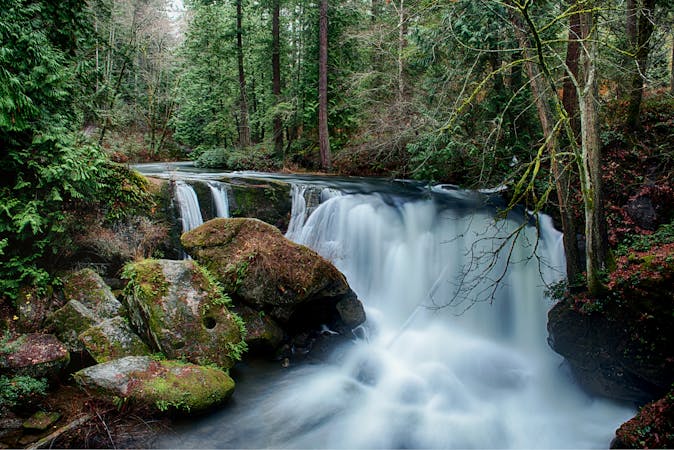
Whatcom Falls is by far the easiest waterfall to access in Bellingham, yet this impressive two-part cascade is well-worth the visit!
Easy Hiking
4 routes · Hiking