6.5 km away
Lookout Mountain Forest Preserve: Waterfall Trail

Enjoy two different waterfalls along Austin Creek.
Easy Hiking
- Distance
- 4.2 km
- Ascent
- 111 m
- Descent
- 111 m
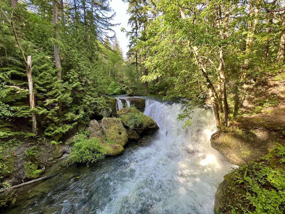
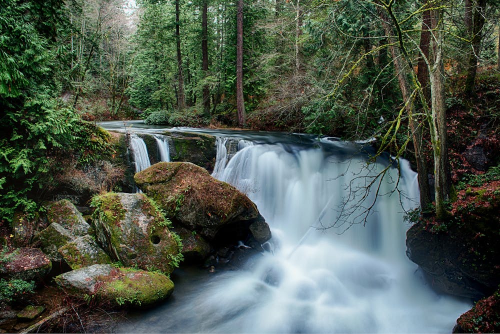
Whatcom Falls is by far the easiest waterfall to access in Bellingham, yet this impressive two-part cascade is well-worth the visit!
Hiking Easy

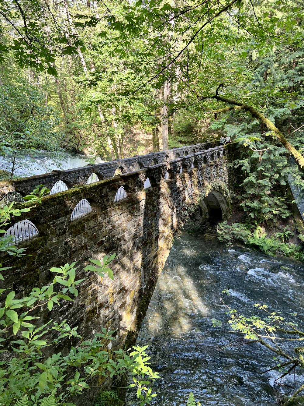
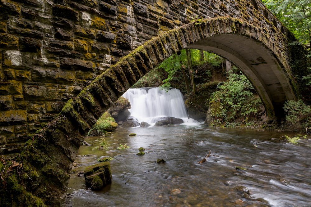
To reach Whatcom Falls, you'll walk directly from the trailhead and descend a paved path to reach the stone bridge that crosses the stream. From the vaulted bridge, you'll enjoy a jaw-dropping view of the thundering falls just upstream. This is the main falls, and it's an impressive sight to behold!
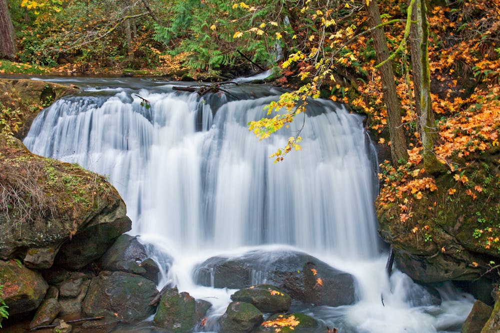
While you just accessed the main falls in mere seconds, there are over three and a half miles of trails winding through Whatcom Falls Park, and it's well worth exploring more of these wide, easy paths. If you follow the route as mapped, you'll visit the lower Whirlpool Falls as well.
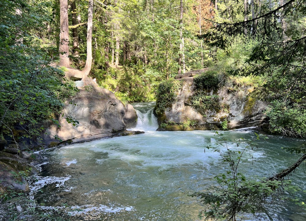
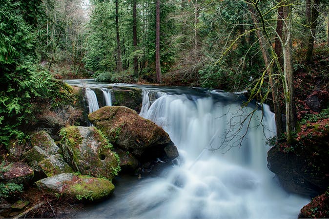
Whirlpool Falls isn't nearly as tall as the upper falls, but this beautiful cascade drops into a gorgeous pool that swirls in a rock basin, with impressive trees towering overhead. "Whirlpool Falls is a very popular swimming hole within the park," according to Wikipedia. "The falls themselves are only about ten feet in height, but the cliffs adjacent to the falls reach to about 30 feet (9.1 m) high. During the summer, one can usually watch swimmers jumping from these tall cliffs into the punchbowl pool below," the writer continues.
Once done at Whirlpool Falls, you can either retrace your steps to your car as mapped or continue exploring the other trails in this incredible city park.
Easy
Walking along a well-kept trail that’s mostly flat. No obstacles are present.

The path is on completely flat land and potential injury is limited to falling over.
Close to help in case of emergency.
6.5 km away
Enjoy two different waterfalls along Austin Creek.
Easy Hiking
7.2 km away
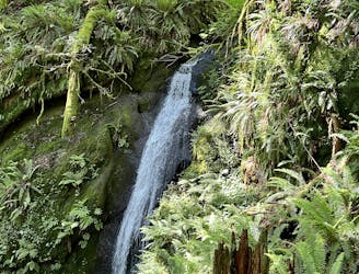
Discover beautiful Chuckanut Falls, just outside of downtown Bellingham.
Moderate Hiking
9.2 km away
A technically easy but aerobically difficult climb to an elevated overlook of Lake Whatcom.
Moderate Hiking
4 routes · Hiking