645 m away
Cascade Pass Trail
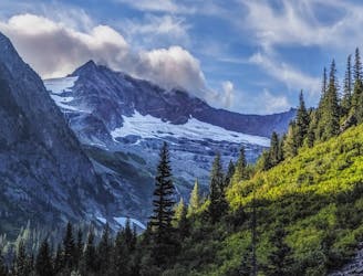
The full Cascade Pass Trail in all its glory!
Difficult Hiking
- Distance
- 25 km
- Ascent
- 680 m
- Descent
- 1.1 km
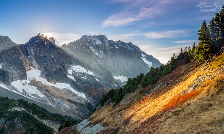
Sahale Peak via Qien Sabe Glacier. This route is feasible in July and after.
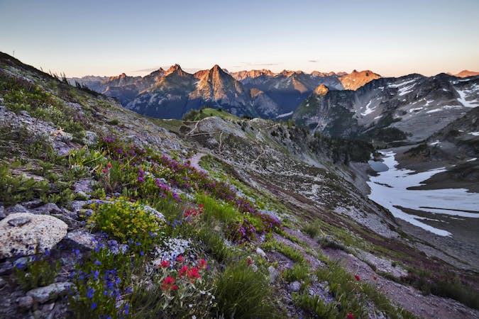
Hiking Extreme

This is a popular hiking route which is generally considered to be extreme. It's extremely remote, it features extreme exposure and is typically done between June and September. From a low point of 990 m to the maximum altitude of 2.7 km, the route covers 19 km, 1713 vertical metres of ascent and 1715 vertical metres of descent.
Sahale Peak via Qien Sabe Glacier
Extreme
Scrambling up mountains and along technical trails with moderate fall exposure. Handholds are necessary to navigate the trail in its entirety, although they are not necessary at all times. Some obstacles can be very large and difficult to navigate, and the grades can often be near-vertical. The challenge of the trail and the steepness of the grade results in very strenuous hiking. Hikes of this difficulty blur the lines between "hiking" and "climbing".

Some trail sections are extremely exposed where falling will almost certainly result in serious injury or death.
In the high mountains or remote conditions, all individuals must be completely autonomous in every situation.
645 m away
The full Cascade Pass Trail in all its glory!
Difficult Hiking
645 m away
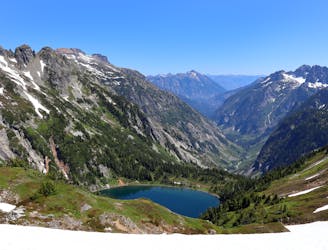
The best trail in North Cascades for a day hike into the alpine, making a determined ascent to stand eye-level glaciers.
Difficult Hiking
5 routes · Hiking
7 routes · Hiking

63 routes · Alpine Climbing · Hiking