6.3 km away
Copper Ridge Loop
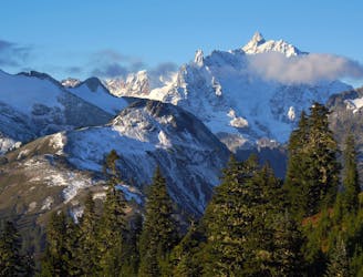
A one or two-night trek, through a deep river valley and along a soaring ridge, with views stretching across peaks of the North Cascades.
Difficult Hiking
- Distance
- 52 km
- Ascent
- 3.1 km
- Descent
- 3.1 km
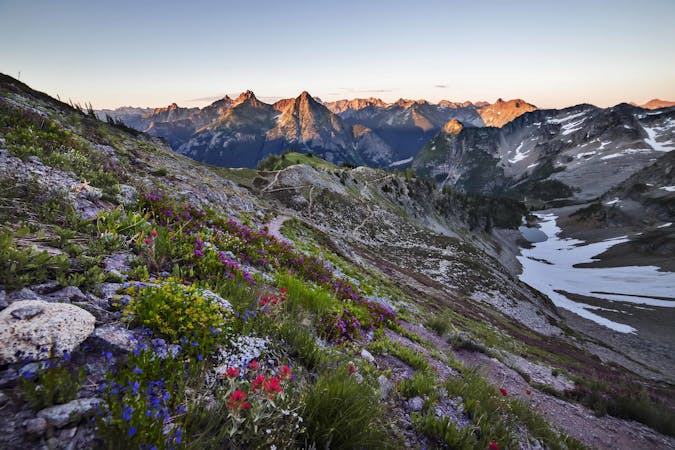
Yellow Aster Butte is a day hike in the Mt. Baker-Snoqualmie National Forest
Hiking Moderate

This is a popular hiking route which is generally considered to be moderate. It's remote, it features medium exposure and is typically done between July and October. From a low point of 1.1 km to the maximum altitude of 1.9 km, the route covers 13 km, 848 vertical metres of ascent and 854 vertical metres of descent.
A hike in the Mt. Baker-Snoqualmie National Forest
Moderate
Hiking along trails with some uneven terrain and small hills. Small rocks and roots may be present.

The trail contains some obstacles such as outcroppings and rock which could cause injury.
Away from help but easily accessed.
6.3 km away
A one or two-night trek, through a deep river valley and along a soaring ridge, with views stretching across peaks of the North Cascades.
Difficult Hiking
7 routes · Hiking