36 m away
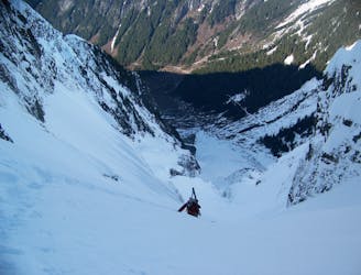
The Magic S Loop
A great way to get away from the crowds and link up some steep lines
Difficult Ski Touring
- Distance
- 16 km
- Ascent
- 2.9 km
- Descent
- 2.9 km
A great alternative to the standard decent on Sahale Peak
Ski Touring Moderate

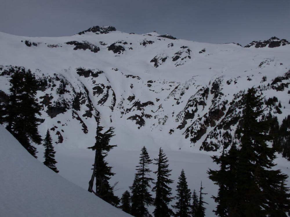
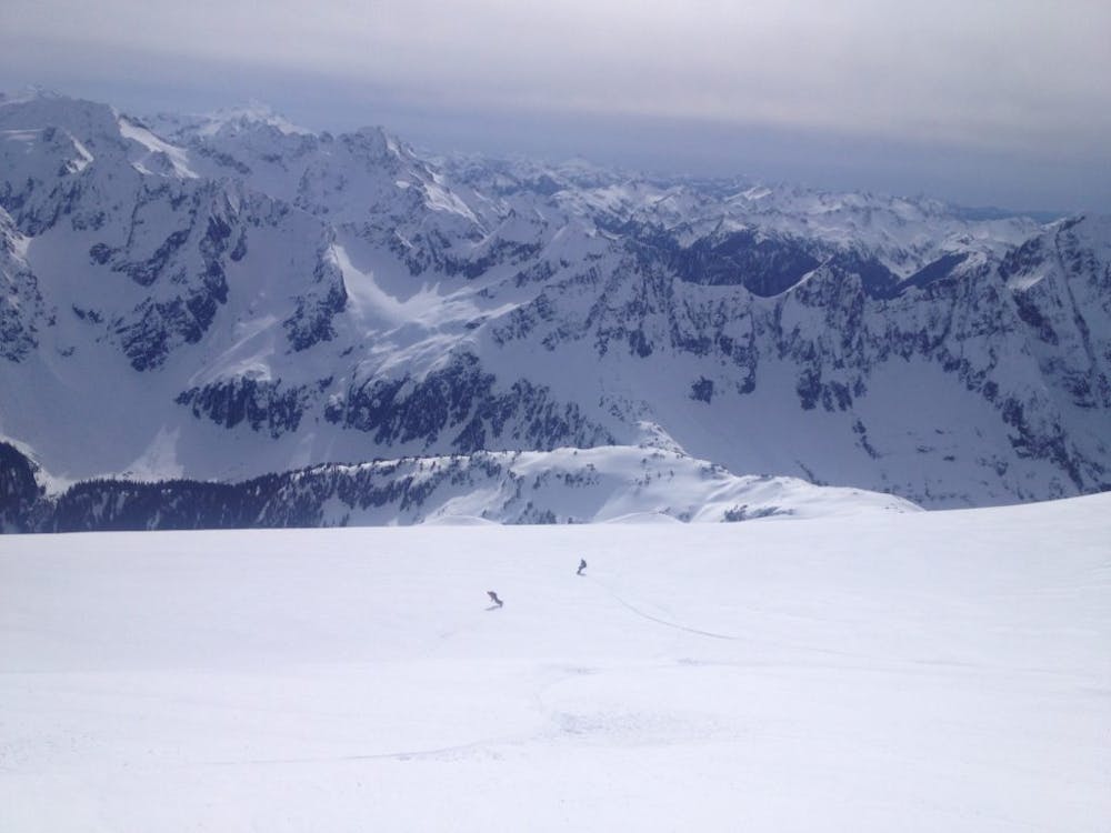
Sahale Mountain has some of the best views in all of the Cascades and the Doubtful Lake Chutes is the icing on the cake. Being that the ascent route is straightforward but pretty mellow this makes what would be a mundane ski run a much more enjoyable descent. Since this is a cirque dropping into the Lake Basin there are more than enough variations so each group can find fresh tracks from top to bottom. There aren’t many ski tours in the North Cascades that offer a comparable to view to the summit of Sahale Peak.
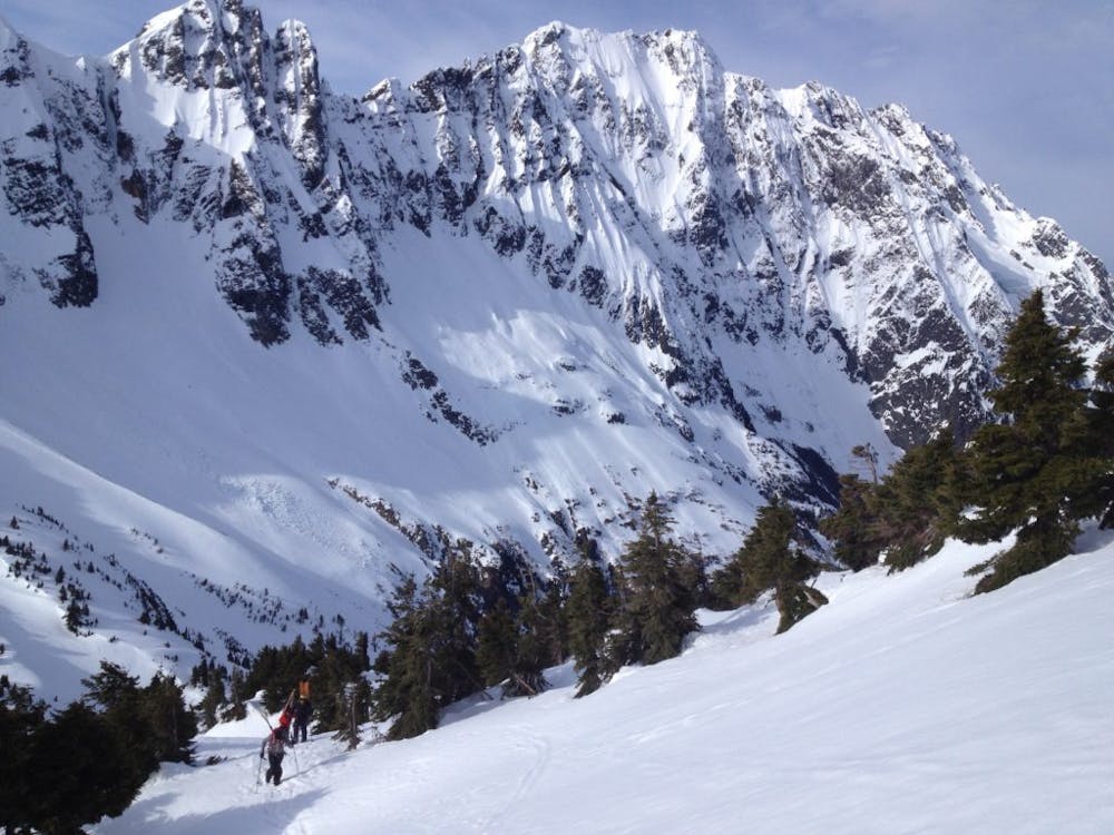
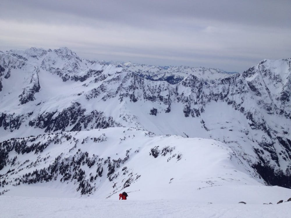
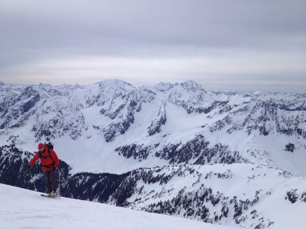

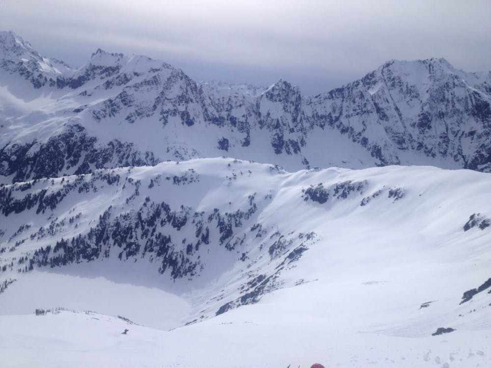
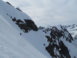
If you are heading into this zone in the early spring the best way to climb up to Cascade Pass is by dropping into the North Fork of Cascade River Valley and skinning to the main headwall. There is a weakness on the western side which allows you to get to the upper slopes before traversing east and arriving on Cascade Pass. Once there you can pretty much skin up the lower ridge loosely following the Summer trail and before long you will be standing on the Sahale Arm. From here it wraps around the Doubtful Lake cirque where this is a great spot to snap a photo of different descent options. Heading up the Arm you will soon pass the Sahale Glacier Camp and just below the summit you can find an easy route via the southwestern ridge.
Being on the summit of Sahale just drop into the Glacier riding fall line. After a while it will give a more gully feel, if you have a photo of the route this is a good spot to look at it for reference. Arriving around 7,100 feet the terrain gets a bit steeper and with a bit of skill you can easily ride all the way down to Doubtful Lake. For the exit head for the outflow of the lake before climbing up the Western ridge loosely following the summer trail to get back onto the Arm. Now it is time to follow your ascent tracks back down to Cascade Pass before descending into the Cascade River Valley and hiking back up to the car.
To see my trip in the area and more photos check out this link https://www.whereiskylemiller.com/highway-20/sahale-mountain/
Moderate
Slopes become slightly steeper at around 25-30 degrees.

As well as the slope itself, there are some obstacles (such as rock outcrops) which could aggravate injury.
Away from help but easily accessed.
36 m away
A great way to get away from the crowds and link up some steep lines
Difficult Ski Touring
1 km away
A rowdy and intense line on the Cascade River Road
Difficult Ski Touring