2 m away
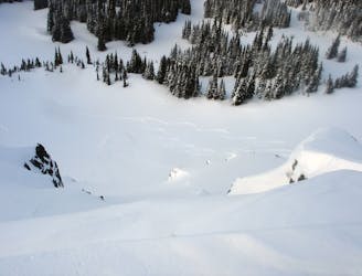
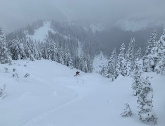
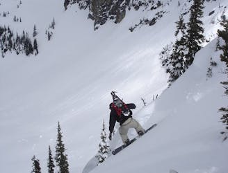
The Suicide Chute
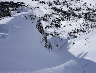
A sketchy line made even sketchier by its remoteness
Difficult Ski Touring
- Distance
- 9.3 km
- Ascent
- 1.3 km
- Descent
- 1.3 km
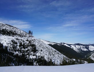
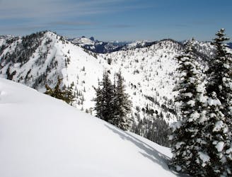
A sheltered and low angle route into Bullion Basin
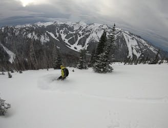
Ski Touring Moderate

This is a popular ski touring route which is generally considered to be moderate. It's remote, it features medium exposure (e2) and is typically done between December and May. From a low point of 1.3 km to the maximum altitude of 2 km, the route covers 3.1 km, 712 vertical metres of ascent and 15 vertical metres of descent. It's graded 3.2 and Labande grade 3. You'll need skins to complete it safely.
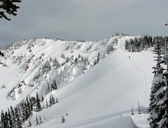
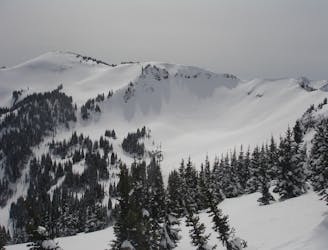
An easy track that follow the Bullion Basin Trail before making a left to the summit of East Peak
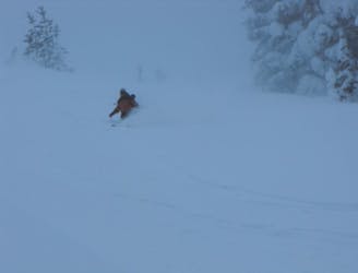
Moderate
Slopes become slightly steeper at around 25-30 degrees.

As well as the slope itself, there are some obstacles (such as rock outcrops) which could aggravate injury.
Away from help but easily accessed.
2 m away
A sketchy line made even sketchier by its remoteness
Difficult Ski Touring
3 m away
A 4 day trip though dense forests in an area usually only used in Summer
Difficult Ski Touring
3 m away
A classic link up of some great lines in Lake Basin
Difficult Ski Touring
4 m away
A brutal journey to a nice north facing basin
Difficult Ski Touring
4 m away
The perfect day ski touring on East Peak
Moderate Ski Touring
5 m away
Making the most out of a day around Norse Peak
Moderate Ski Touring
6 m away
The perfect ski tour within the Crown Point area
Moderate Ski Touring
10 m away
A scenic tour following the border of Norse Peak Wilderness
Moderate Ski Touring
18 m away
These are the two main ski tours off of Bullion Peak
Moderate Ski Touring
58 m away
Linking up 3 great runs in a single day
Moderate Ski Touring

11 routes · Ski Touring