1.4 km away
East Peak and Cement Basin
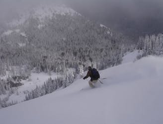
Ski Touring in the Crystal Mountain Backcountry
Moderate Ski Touring
- Distance
- 11 km
- Ascent
- 1.6 km
- Descent
- 1.6 km

After a strenuous hike, this open run through trees makes for a spectacular day.
Ski Touring Difficult

This long, rolling, wide-open face sits above the Crystal Mountain base area, across from the ski area. East Peak faces the sun, offering spring-like conditions even when the rest of the peaks are still in powder. Watch for avalanches and carry the proper equipment. This is true backcountry and avalanche mitigation is not done. If rescue is necessary, you may be charged. Follow a cat track from the base area into the trees to the climber's left of the Gold Hills chair. After a two switchbacks, look for the summer trail leading to the left. Use the trail to get above the road to an old ski trail. Avoid the summer trail to the left for the uptrack as it traverses under avalanche terrain. Instead, stay to the right on the old ski run and make your way through the thick trees in the creek below East Peak. Once above the steep creek bed, the view opens again. The best terrain for skinning can be found on either the far climber's left or right, avoiding the cliffs in the middle. Once at the top, enjoy the spectacular view of Crystal Mountain. On a clear day Mount Rainier rises above the ski area. On a calm night, locals often camp out at the top of the peak. Once at the top the fun is only beginning. Choose from a myriad of lines in the wide-open face. During storms or right after a big snowfall, avoid the cross-loaded cornice that builds on the north flank of the face, known locally as Ted's Buttress. Return to the base area along the same cat track you used on the way up. Look out for snowmobiles and snowcats accessing the private homes at the top of Gold Hills.
Difficult
Serious gradient of 30-38 degrees where a real risk of slipping exists.
1.4 km away

Ski Touring in the Crystal Mountain Backcountry
Moderate Ski Touring
1.6 km away
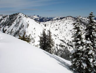
The perfect ski tour within the Crown Point area
Moderate Ski Touring
1.6 km away
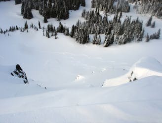
Making the most out of a day around Norse Peak
Moderate Ski Touring
1.6 km away
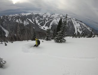
The perfect day ski touring on East Peak
Moderate Ski Touring
1.6 km away
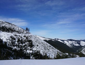
A 4 day trip though dense forests in an area usually only used in Summer
Difficult Ski Touring
1.6 km away
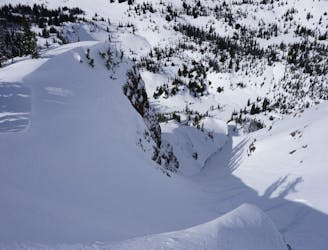
A sketchy line made even sketchier by its remoteness
Difficult Ski Touring
1.6 km away
A classic link up of some great lines in Lake Basin
Difficult Ski Touring
1.6 km away
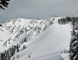
A brutal journey to a nice north facing basin
Difficult Ski Touring
1.6 km away
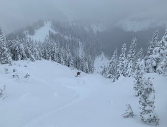
These are the two main ski tours off of Bullion Peak
Moderate Ski Touring
1.6 km away
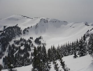
A scenic tour following the border of Norse Peak Wilderness
Moderate Ski Touring
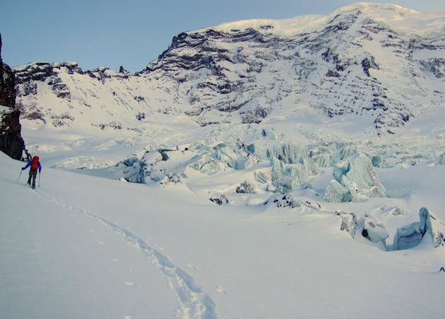
11 routes · Ski Touring