8 m away
Summerland
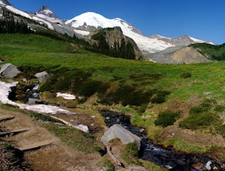
One of the most stunning trail runs in the state of Washington!
Moderate Trail Running
- Distance
- 14 km
- Ascent
- 717 m
- Descent
- 717 m
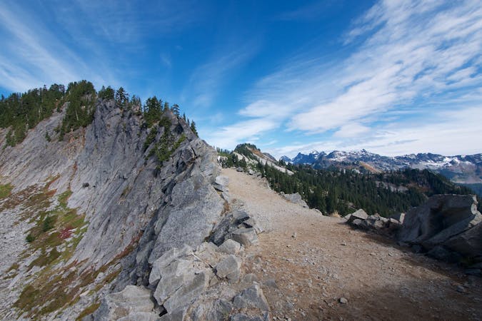
Day 2 Wonderland Trail in 3 days
Trail Running Severe

This is a popular trail running route which is generally considered to be severe. It's remote, it features low exposure and is typically done in undefined. From a low point of 781 m to the maximum altitude of 2.1 km, the route covers 44 km, 2282 vertical metres of ascent and 2535 vertical metres of descent.
Day 2 of this nutty idea
Severe

The path is on completely flat land and potential injury is limited to falling over.

Away from help but easily accessed.
8 m away
One of the most stunning trail runs in the state of Washington!
Moderate Trail Running
7 routes · Trail Running