Hoyt Park
Hike along the refreshing Menomonee River.
Hiking Easy
- Distance
- 3.3 km
- Ascent
- 14 m
- Descent
- 14 m
- Duration
- 0-1 hrs
- Low Point
- 199 m
- High Point
- 206 m
- Gradient
- 0˚

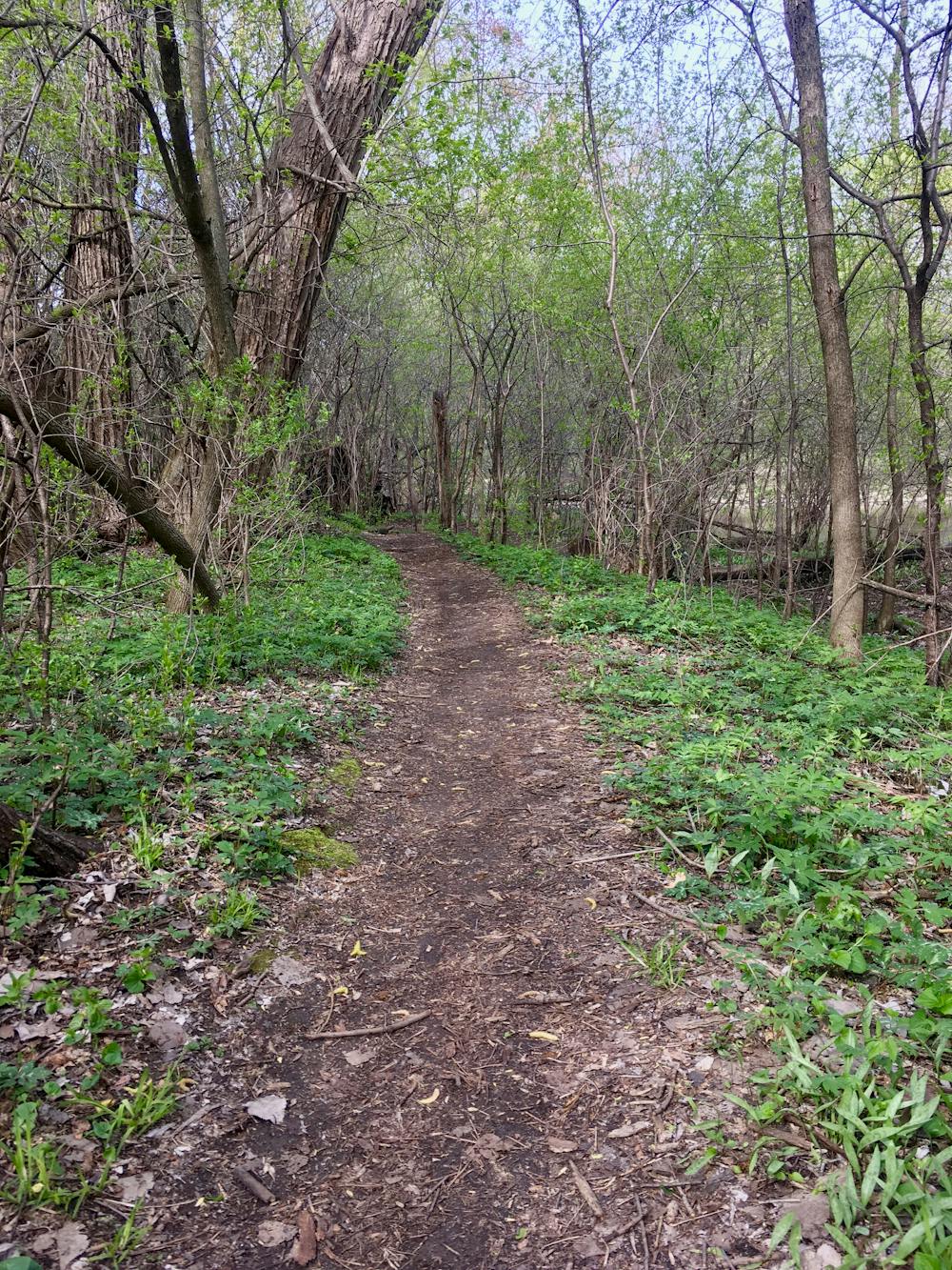
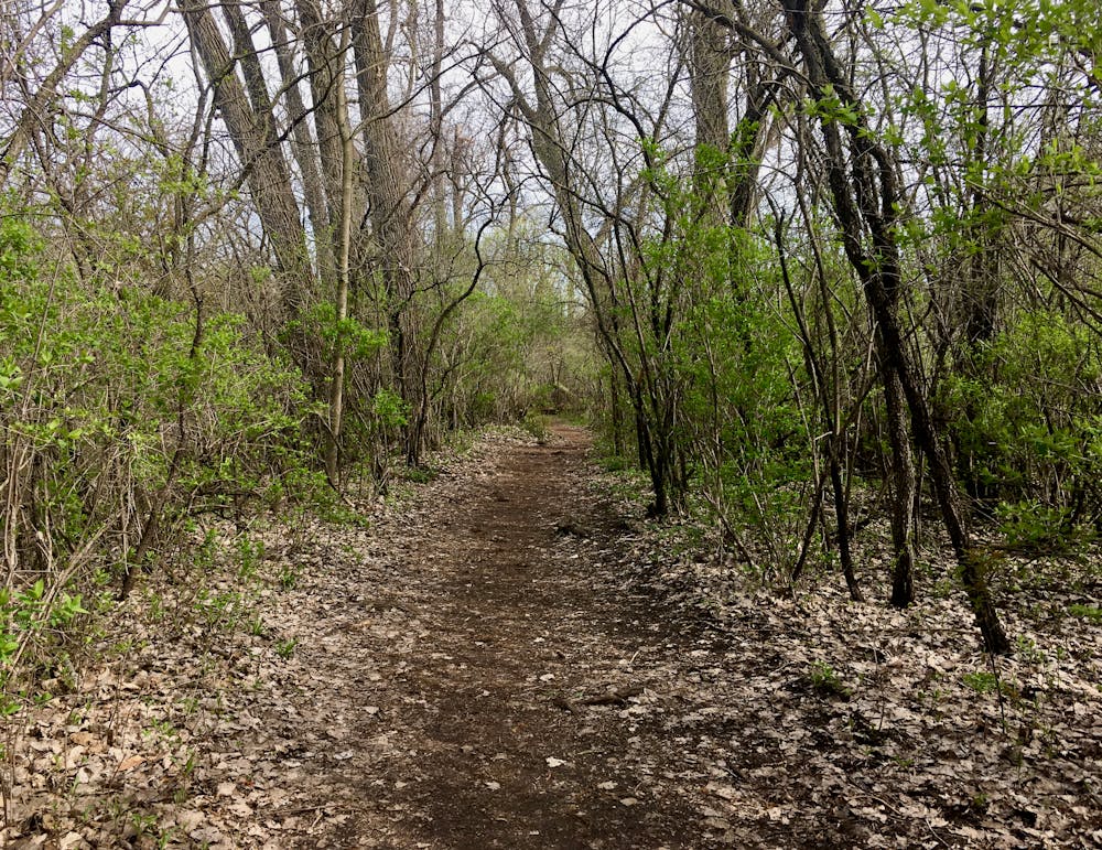
For a quick hiking hit on the western side of the city of Milwaukee, consider Hoyt Park. With easy access, relatively safe and secure parking, and well-built trails that loop around the park, Hoyt offers a very achievable escape from the press of the city on beautiful, narrow singletrack.
- •
- •
- •
- •
- •
Description
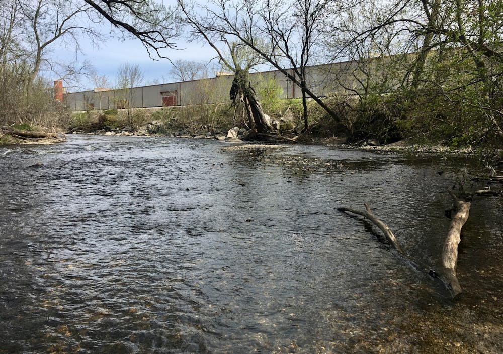
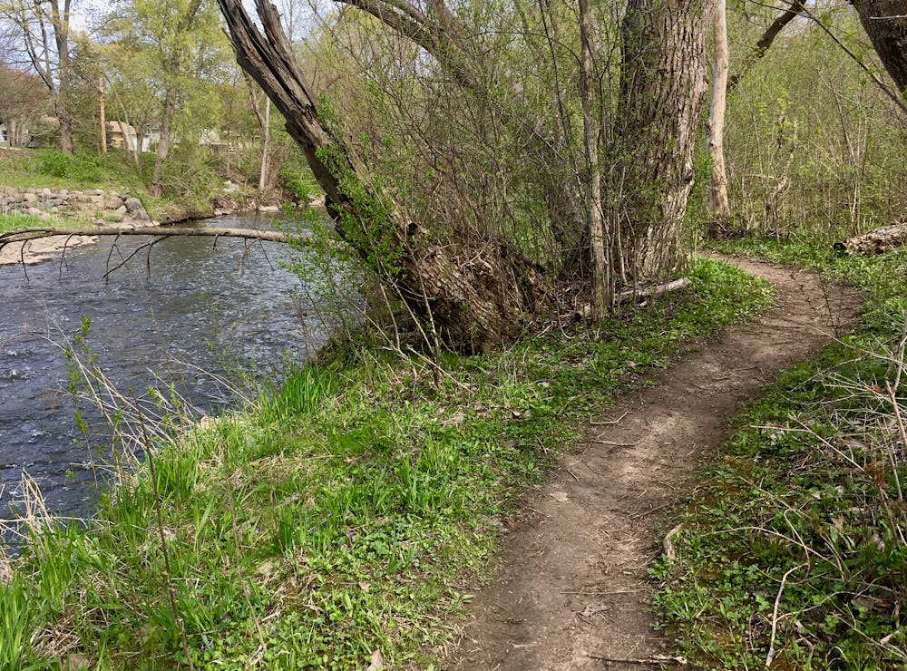
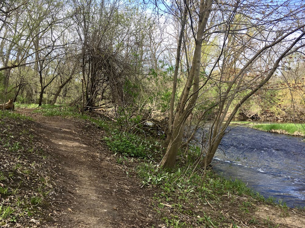
Most of the singletrack here runs along or near the Menomonee River. Along your hike you’ll find places to stop and sit on the banks of the river, to watch the water as it flows by. At the furthest reaches of the trail on the southeastern end of the network, river shoals provide the perfect shallow spot to wade out and enjoy the flow of cool water, especially during a hot, muggy Wisconsin summer.
If you want to add on extra mileage, consider crossing the bridge at the northwestern end of the network, turning right under the bridge, and following the singletrack further north and west. Mapped as both a trail running and a mountain biking route in FATMAP, this additional mileage continues to follow the banks of the river, providing a logical extension if you are so inclined.
The beauty of the Menomonee River, running through an idyllic green space seemingly in the heart of Milwaukee, provides a delightful relief from the press of traffic, the honking of horns, and the stress of milling around with a million other people. Listen to the rush of the water, watch the sun filter through the trees overhead, and breath deep of the sweet smell of nature. This is exactly what you need to maintain your sanity, and Hoyt Park provides the perfect access to this sweet escape.
Difficulty
Easy
Walking along a well-kept trail that’s mostly flat. No obstacles are present.
Low Exposure

The path is on completely flat land and potential injury is limited to falling over.
Remoteness
Close to help in case of emergency.
Best time to visit
Features
- Water features
- Family friendly
- Forestry or heavy vegetation