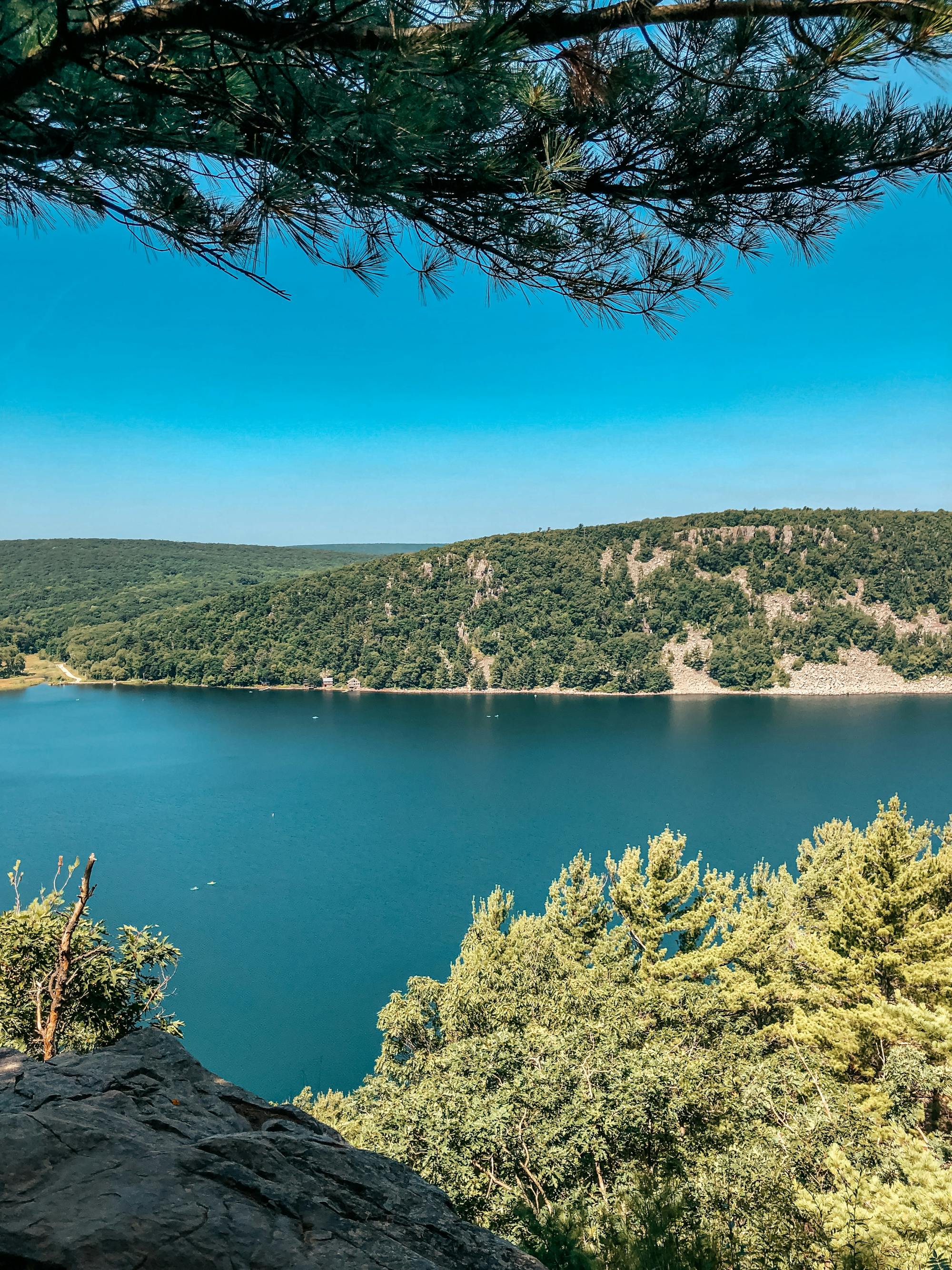
The Ice Age Trail
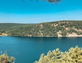
A long, varied and beautiful journey through the finest scenery in Wisconsin.
Difficult Hiking
- Distance
- 1796 km
- Ascent
- 3.7 km
- Descent
- 3.8 km
Go hiking in Wisconsin with curated guides of the best hikes across the region. With over 40 3D trail maps in FATMAP, you can easily discover and navigate the best trails in Wisconsin.
No matter what your next adventure has in store, you can find a guide on FATMAP to help you plan your next epic trip.
Get a top hiking trail recommendation in Wisconsin from one of our 5 guidebooks, or get inspired by the 40 local adventures uploaded by the FATMAP community. Start exploring now!
A long, varied and beautiful journey through the finest scenery in Wisconsin.
Difficult Hiking
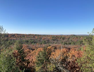
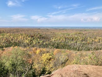
Hike to stunning views of Central Wisconsin from the tallest cliffs in the Clark County Forest.
Difficult Hiking
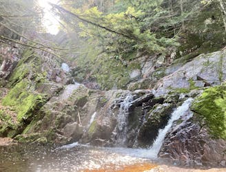
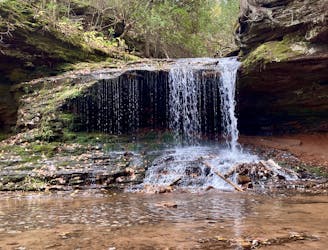
Easy, wheelchair-accessible trail to a beautiful waterfall tucked away in the Chequamegon National Forest.
Easy Hiking
Hike to the highest point in Chequamegon National Forest.
Moderate Hiking
A short, easy hike to a hidden waterfall.
Easy Hiking
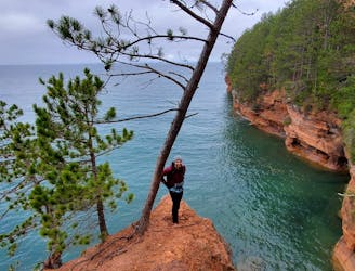
The best hike on the mainland for viewing Lake Superior's sea caves.
Difficult Hiking
Hike to Wisconsin's highest point
Easy Hiking
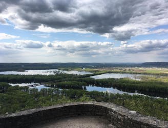
Enjoy expansive views of the confluence of the Wisconsin and Mississippi rivers from this trail in Wyalusing State Park.
Difficult Hiking

10 routes · Hiking