The Ice Age Trail
A long, varied and beautiful journey through the finest scenery in Wisconsin.
Hiking Difficult
- Distance
- 1796 km
- Ascent
- 3.7 km
- Descent
- 3.8 km
- Duration
- 1 day +
- Low Point
- 177 m
- High Point
- 551 m
- Gradient
- 1˚

One of only 11 National Scenic Trails in the country, this 1000+ mile hike leads you through everything from city centres to forests, prairies and lake fronts.
- •
- •
- •
Description
Doing the whole Ice Age Trail in one go is a huge undertaking, but the number of towns which dot the route make it slightly less daunting and logistically easier than many other big thru-hikes. Accommodation and supplies can be found on virtually every day of the trip, and the lack of vertical height gain/loss on the hike means that you can cover large distances each day, further opening up your options. There are numerous campsites along the way too, so combining hotels and camping all along the route keeps things nicely varied.
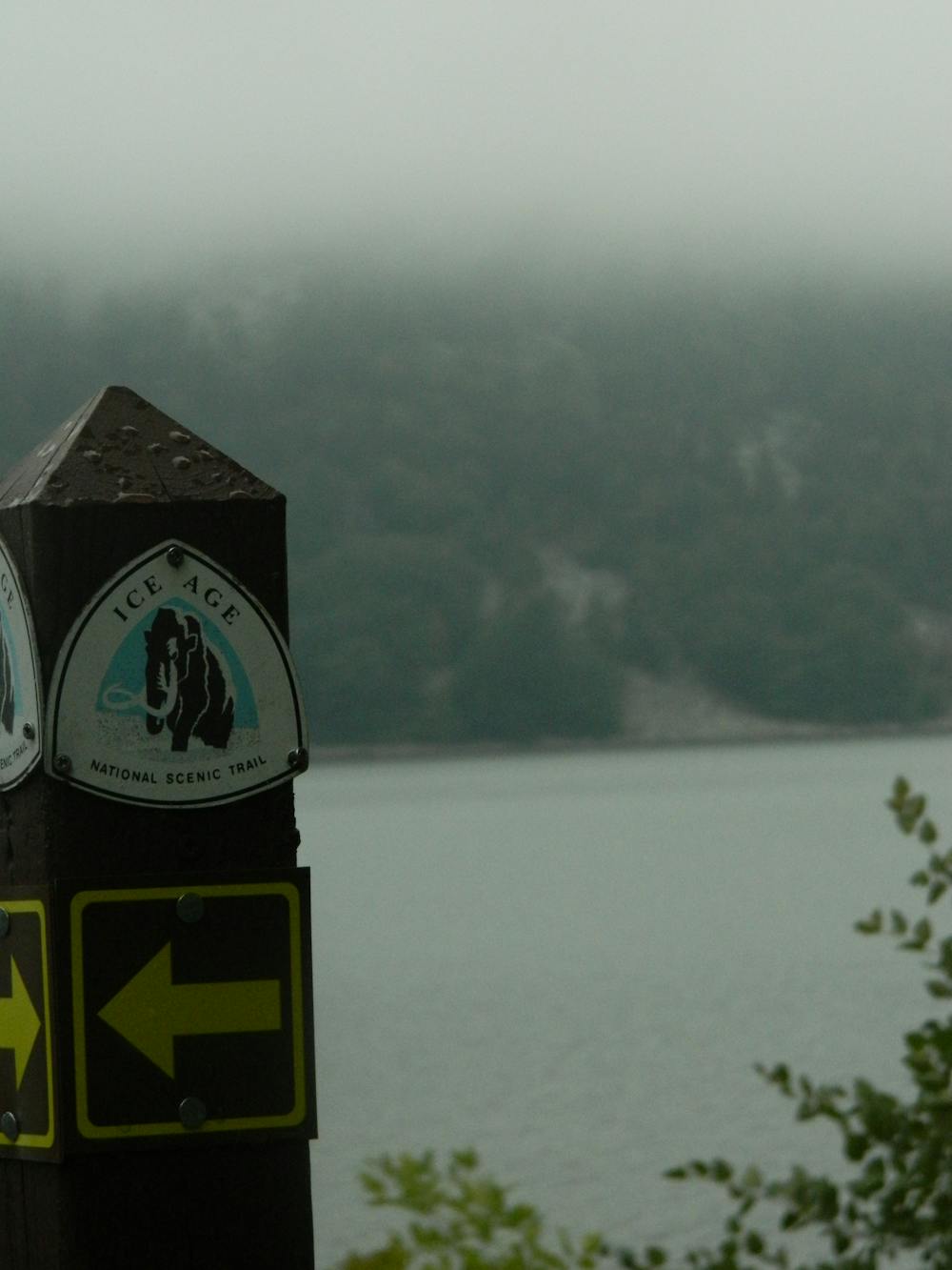
The trail itself is well maintained and - for most of its length - well signposted and easy to follow. The distinctive trail markers (see photos above) dot the route, and navigation will rarely be too much of an issue. Even if you were to get lost at any stage, the amount of roads which criss-cross the trail mean that getting back on route is simple enough most of the time. Sadly much of the trail is on roads, but the Ice Age Trail Association are constantly adding sections of "real" trail so as to reduce the amount of road walking thru-hikers have to do. The roads are generally quiet, rural affairs so it's not too much of a hardship having to walk along them!
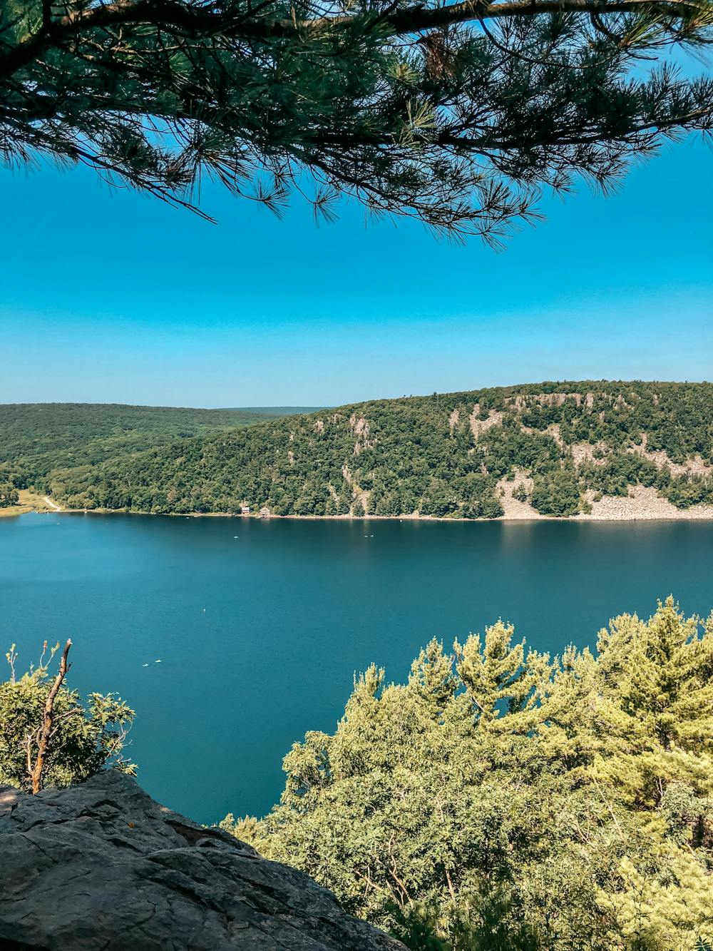
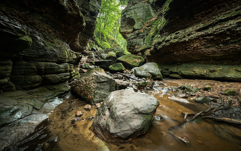
The scenery on the Ice Age Trail is spectacular, with the famous Wisconsin prairies making up most of the views, but with long sections of quiet forests and rolling hills thrown in too. There are also hundreds of lakes along the route, ranging from 100 feet wide little ducks ponds right through to the mighty Lake Michigan. Experiencing these amazing lakes is a huge part of the Ice Age Trail.
If you don't want to tackle the Ice Age Trail in its entirety, picking out an individual section and doing it as a day hike is an excellent option. Most sections of the trail can be accessed easily enough and provide some excellent short hikes.
Difficulty
Difficult
Hiking trails where obstacles such as rocks or roots are prevalent. Some obstacles can require care to step over or around. At times, the trail can be worn and eroded. The grade of the trail is generally quite steep, and can often lead to strenuous hiking.
Medium Exposure

The trail contains some obstacles such as outcroppings and rock which could cause injury.
Remoteness

Little chance of being seen or helped in case of an accident.
Best time to visit
Features
- Wildlife
- Historical
- Picturesque
- Forestry or heavy vegetation