Timms Hill
Hike to Wisconsin's highest point
Hiking Easy
- Distance
- 533 m
- Ascent
- 30 m
- Descent
- 30 m
- Duration
- 0-1 hrs
- Low Point
- 556 m
- High Point
- 586 m
- Gradient
- 8˚

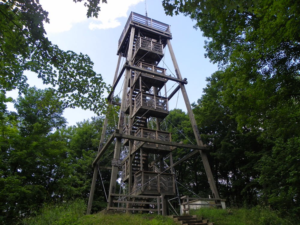
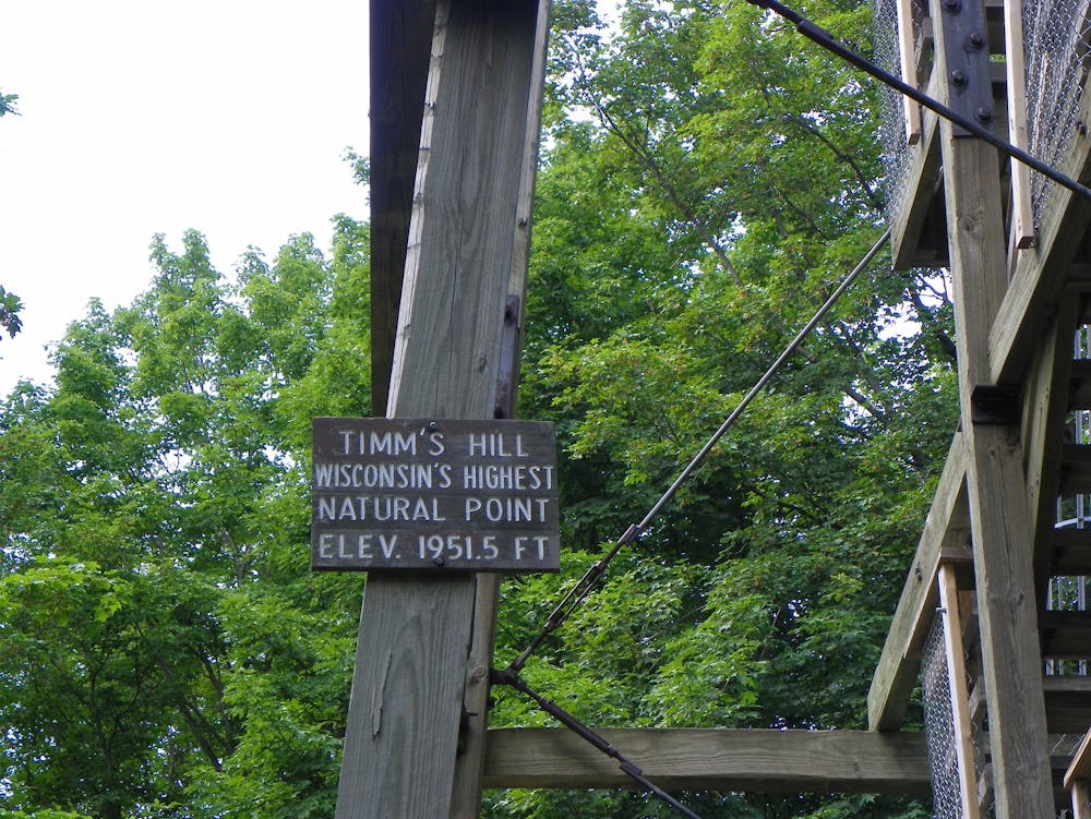
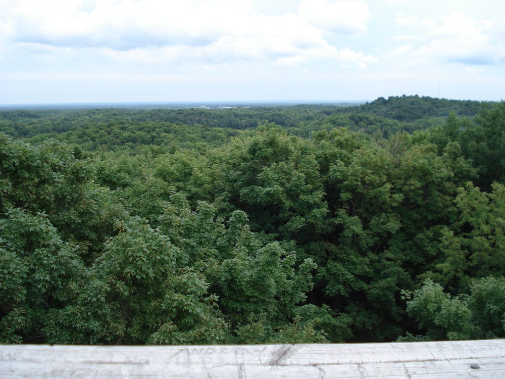
Timms Hill is the highest point in the state of Wisconsin. This low hill is located in the highest-elevation area of the state, and while it might be the state's high point, it doesn't have a lot of vertical relief above the surrounding landscape. To help hikers get a view, an observation tower has been built on top of the hill, allowing you to get above the trees.
- •
- •
- •
Description
While the Timm's Hill trail runs for 10 miles from the top of the hill to the long-distance Ice Age trail, this short 0.3-mile hike simply runs from the parking lot to the observation tower and back. It's a quick, easy jaunt that anyone can handle.
Please note that this trail and Timms Hill itself are on private land. Please respect the landowner by only hiking on marked trails.
Source: https://www.timmshilltrail.com/
Difficulty
Easy
Walking along a well-kept trail that’s mostly flat. No obstacles are present.
Low Exposure

The path is on completely flat land and potential injury is limited to falling over.
Remoteness
Close to help in case of emergency.
Features
- Family friendly