7.1 km away
Meyer's Beach Sea Cave Trail
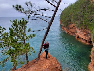
The best hike on the mainland for viewing Lake Superior's sea caves.
Difficult Hiking
- Distance
- 7 km
- Ascent
- 137 m
- Descent
- 137 m
A short, easy hike to a hidden waterfall.
Hiking Easy

This short hike to Lost Creek Falls provides an isolated jaunt through a beautiful swath of the northwoods. This trail gains and loses very minimal elevation along its length, allowing you to quickly knock out the miles if you're fit. The flat hike also offers a great opportunity for an easy outing if you're new to hiking.
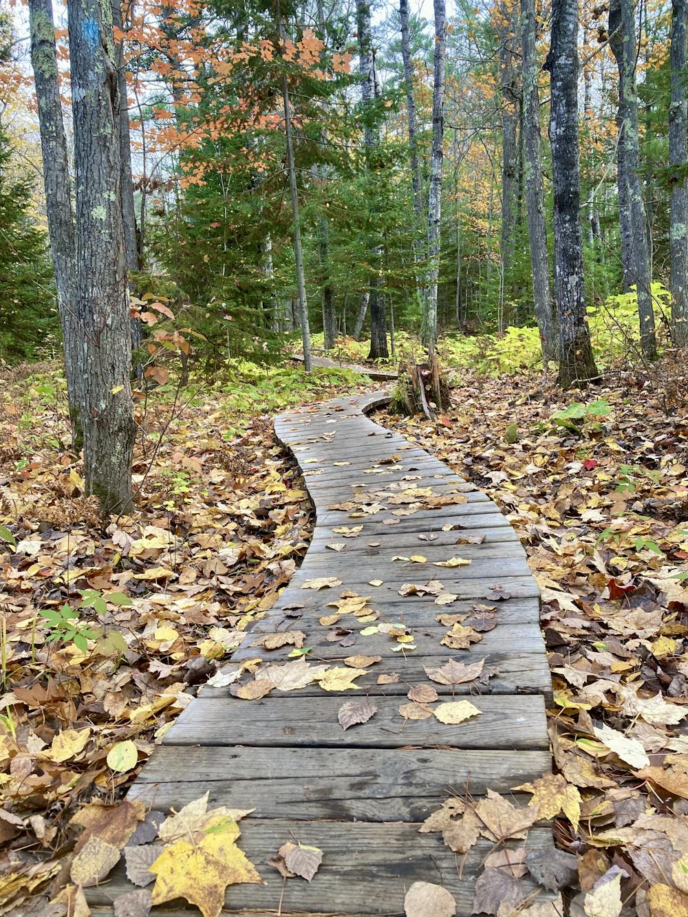
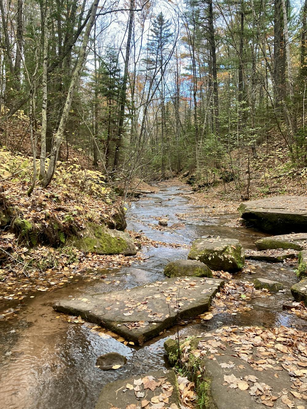
The trail alternates between sandy singletrack and boardwalks that traverse over boggy sections of ground. The boardwalks are well-built and sinuous, creating an interesting character that is quite entertaining.
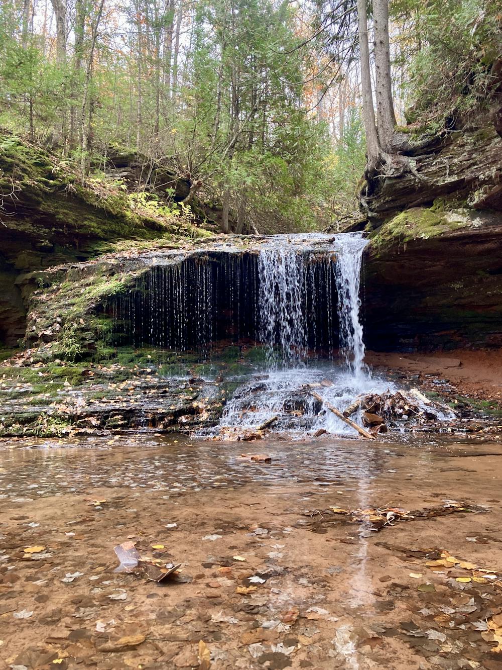
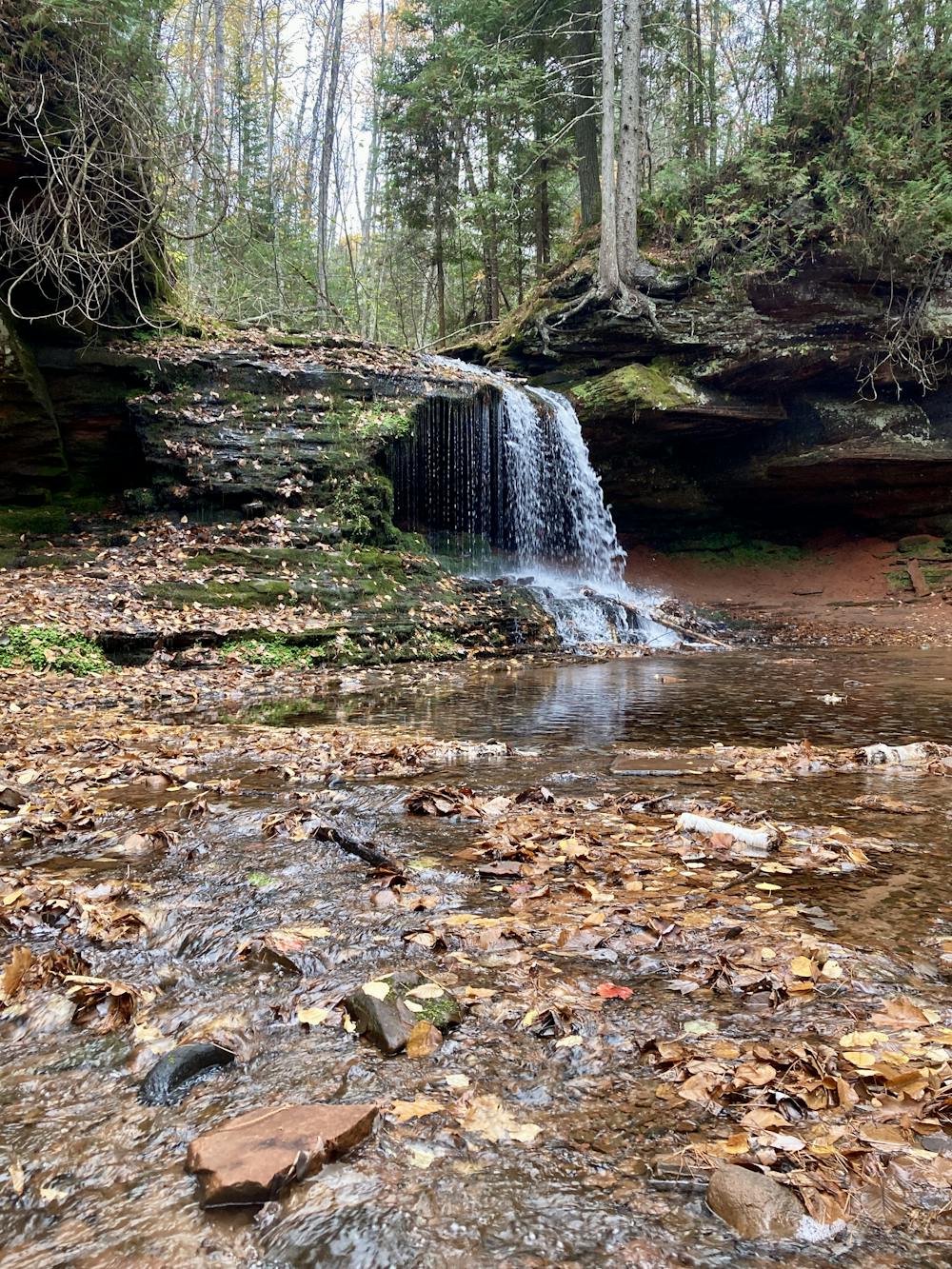
The only somewhat-difficult section of the hike is a short, somewhat steep descent down to the creek itself, but it's over quickly. After dropping into the creek bottom, you'll see the small waterfall just above you. It can easily be reached with a bit of rock hopping.
The waterfall is formed by the creek dropping off a small overhanging ledge into a small pool of dark water below. This small creek valley is an idyllic destination. It feels like the rest of the world is a thousand miles away! Enjoy the peaceful serenity of this out-of-the-way spot.
Easy
Walking along a well-kept trail that’s mostly flat. No obstacles are present.

The path is on completely flat land and potential injury is limited to falling over.

Away from help but easily accessed.
7.1 km away
The best hike on the mainland for viewing Lake Superior's sea caves.
Difficult Hiking

10 routes · Hiking